Reaching Easter Island was supposed to be the final step of our exploration of Latin America. We had booked a one way flight to Easter Island and from there we would continue to Tahiti and somehow to Indonesia.
But things didn’t quite go as planned.
Since the pandemic, there is no more flight or boat from Easter Island to Tahiti. We had no choice but to return to Santiago (for a small fortune!) and find another route to Asia. We spent a whole day in a travel agency in Colombia to find a solution to get out of Easter Island. And then Mary spent many more hours finding an affordable route from Santiago to Asia. In the end we would go all the way back to where we came from! Santiago to Mexico to Los Angeles, and from there to the Philipines via Tapei!
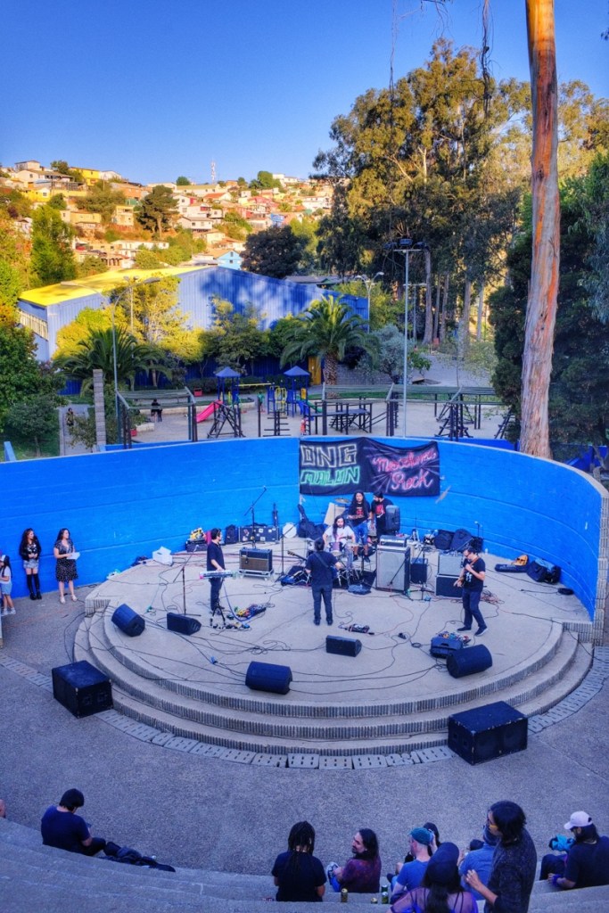
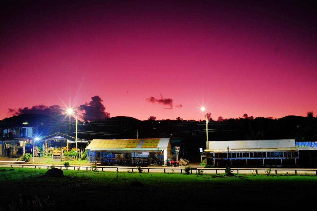
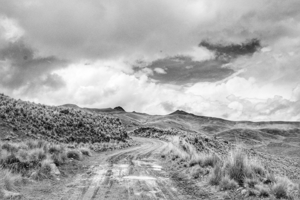
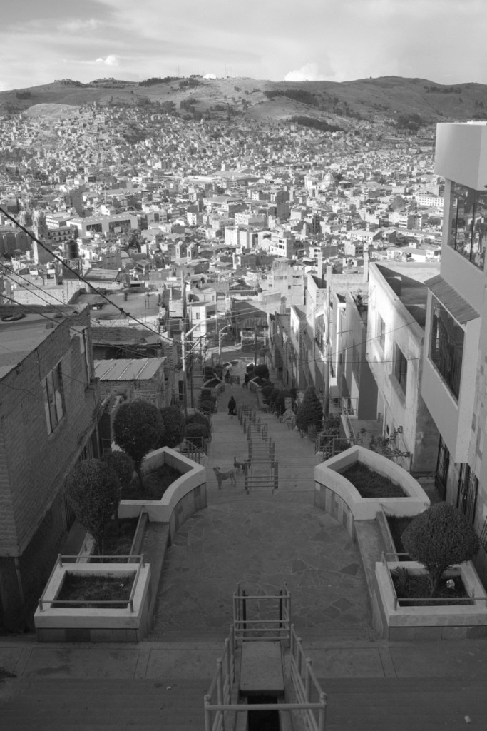
Anyways, first thing first: we now had a few extra days before our flight so we decided to go visit the hometown of my friend Rudyar: the famous and colourful port of Valparaiso.
I didn’t know what to expect from Valparaiso, but in my imagination, it was a cute little port town hanging on a cliff facing the ocean.
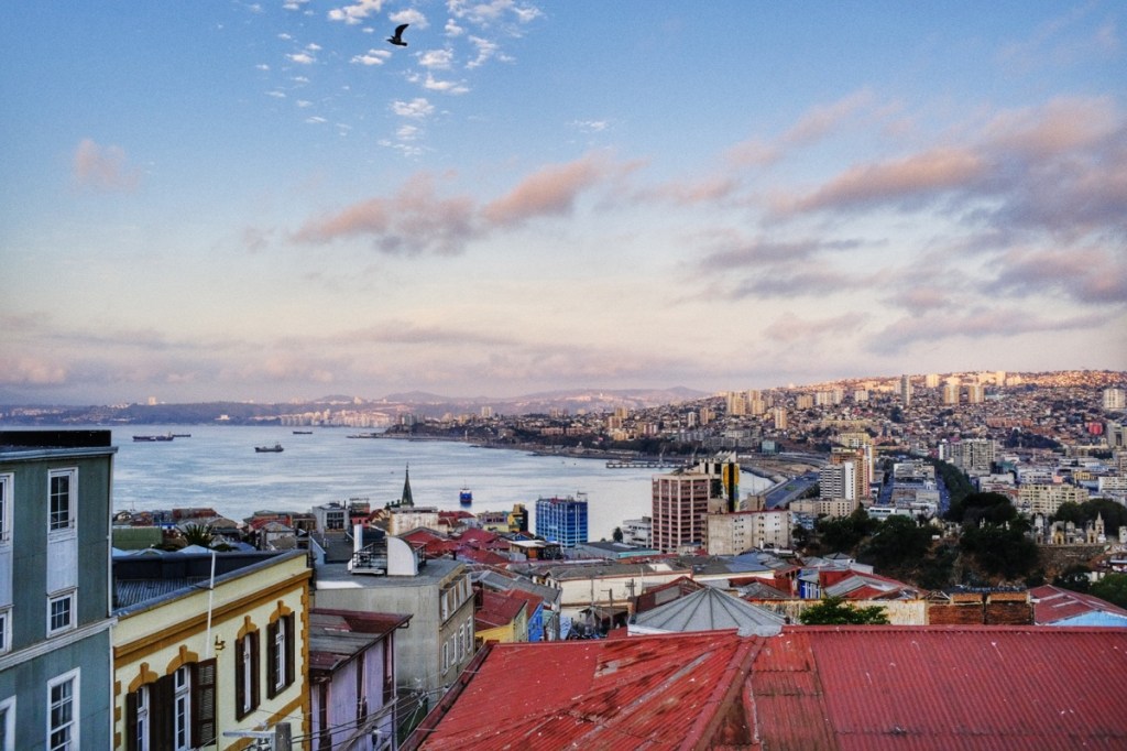
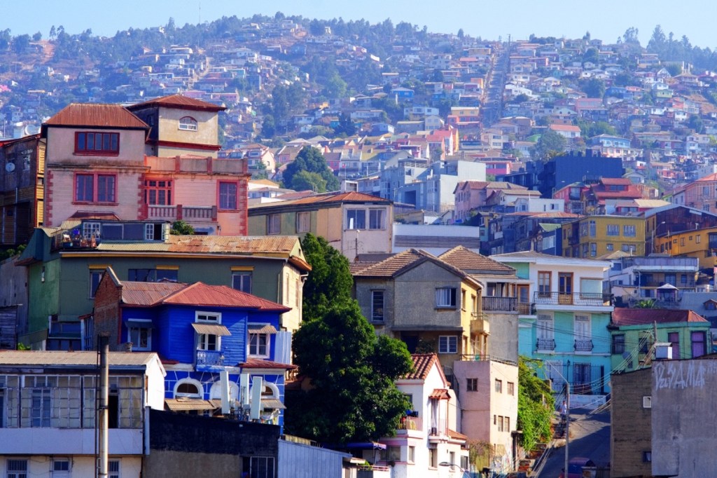
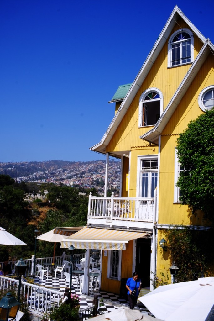
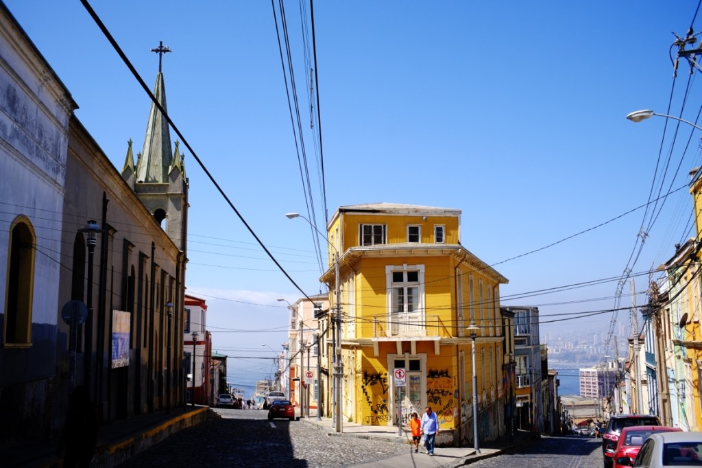
My imagination is often quite far from reality! Valparaiso is actually quite a big city, forming a wide agglomeration with its neighbour Viña del Mar. And although quite steep, we can’t describe it as hanging on a cliff! It’s also rather dirty and noisy.
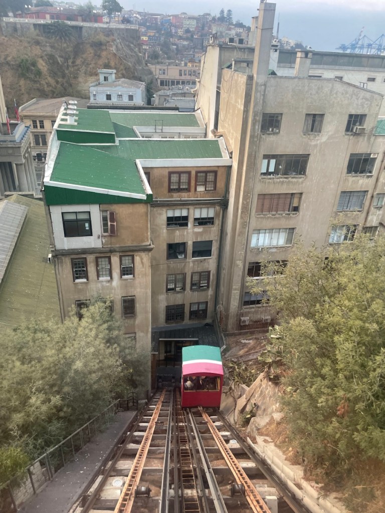
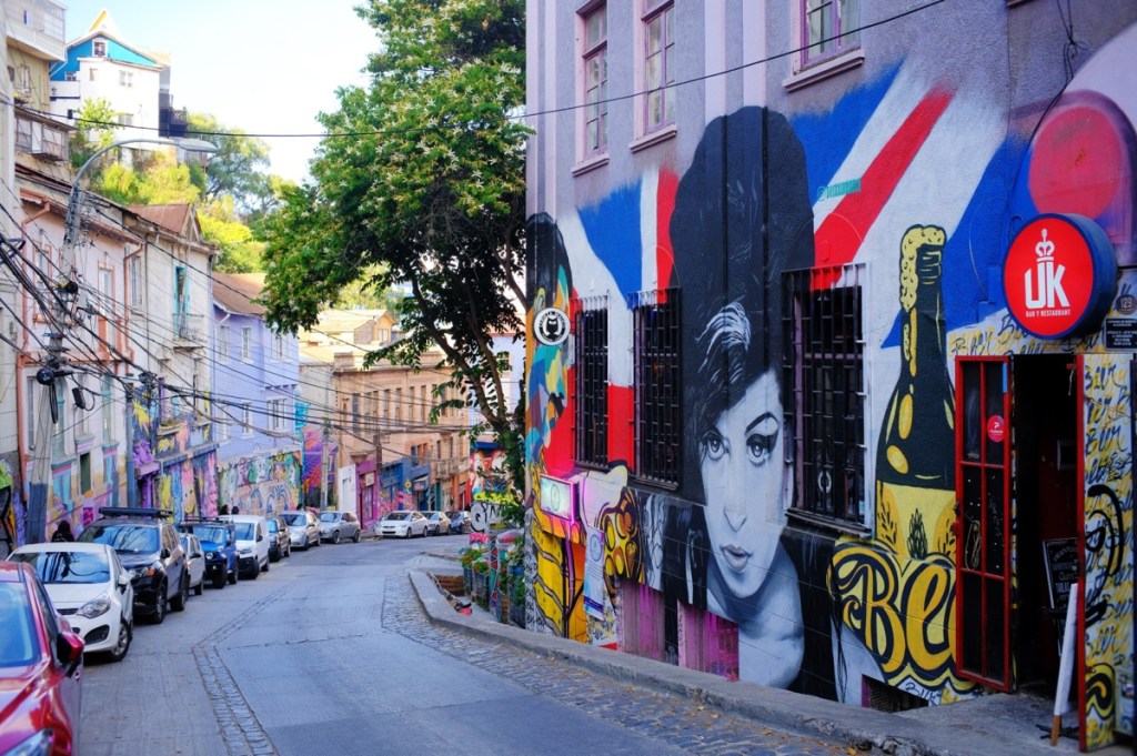
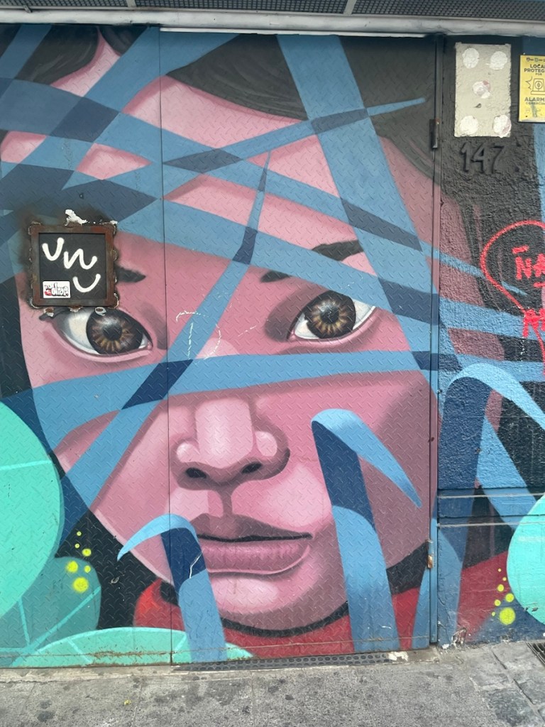
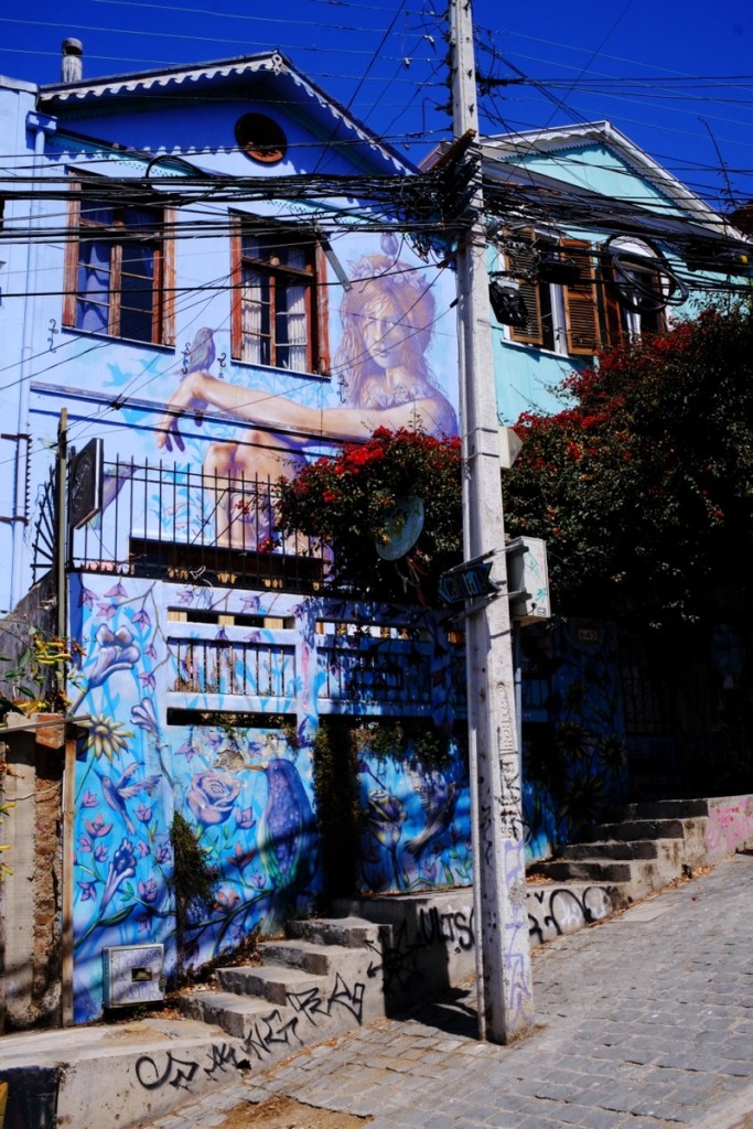
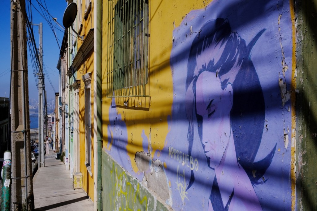
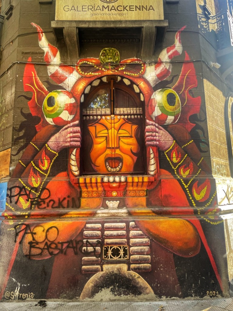
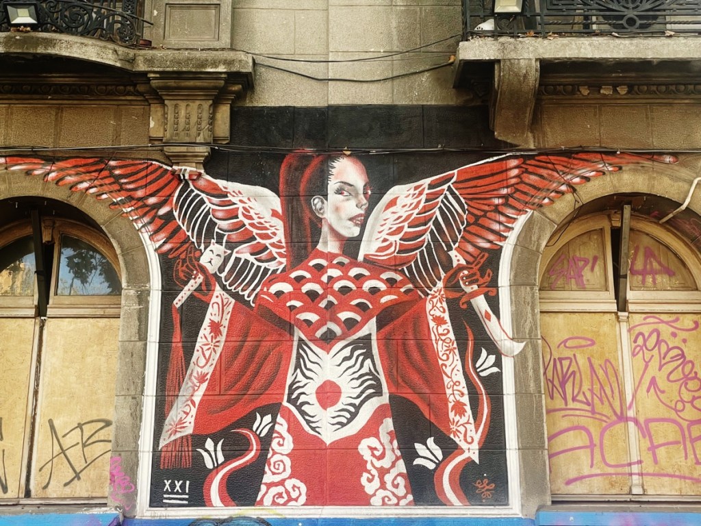
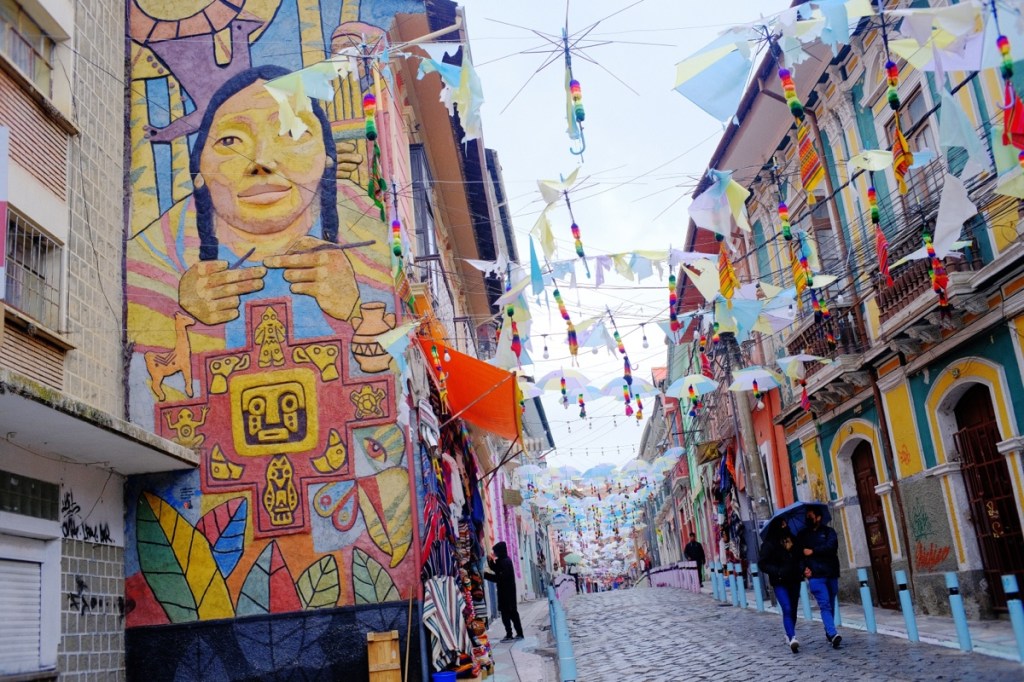
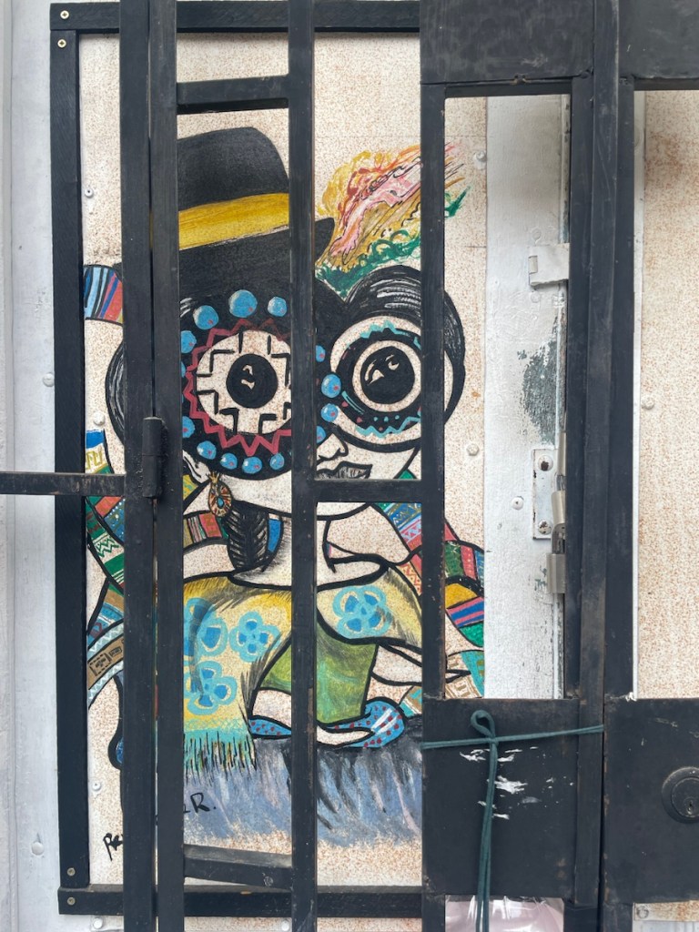
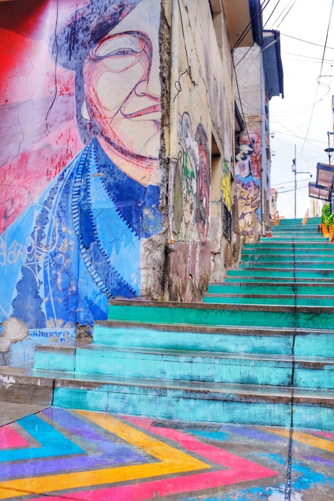
With this I was pretty confused with Valparaiso at first. Still we followed my friend’s advice and went exploring the neighbourhoods of Concepcion and Allegre, and we were charmed by the colourful houses and steep winding streets overlooking the ocean, and the old elevators climbing to various neighbourhoods. Every single wall is covered with street art!
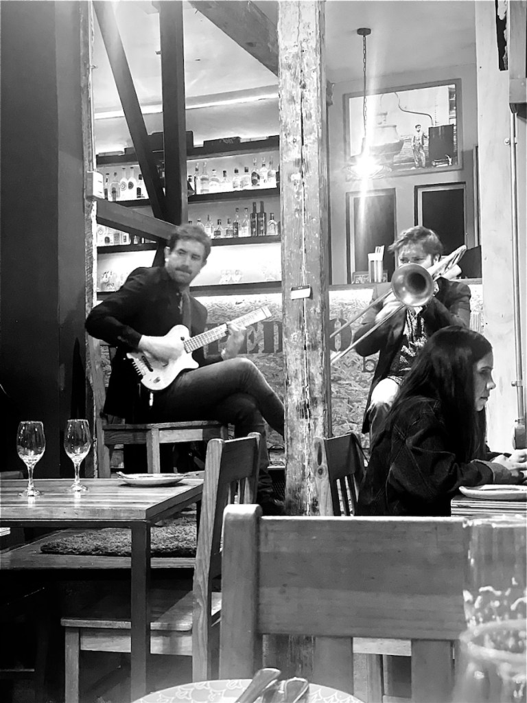
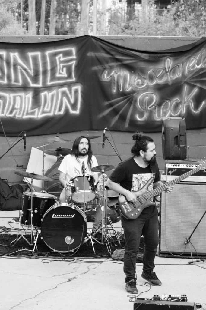
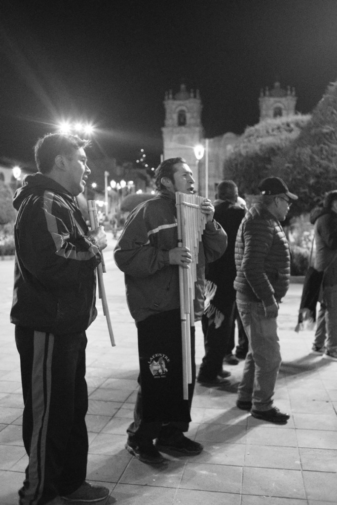
Valparaiso also has lots of musicians and concerts all over the place. In fact, our airbnb was in an apartment full of musicians and the first thing we did was jam together with roommate Mauro on the double bass and his friend on the guitar 🙂
Valparaiso has the strange beauty of an unmaintained past glory. It was once an important stop for ships crossing the Magellan strait, until the Panama canal changed the route for everyone.
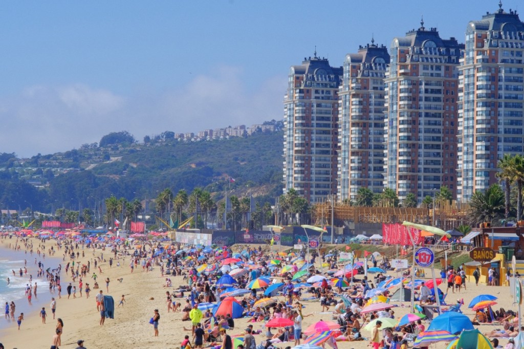
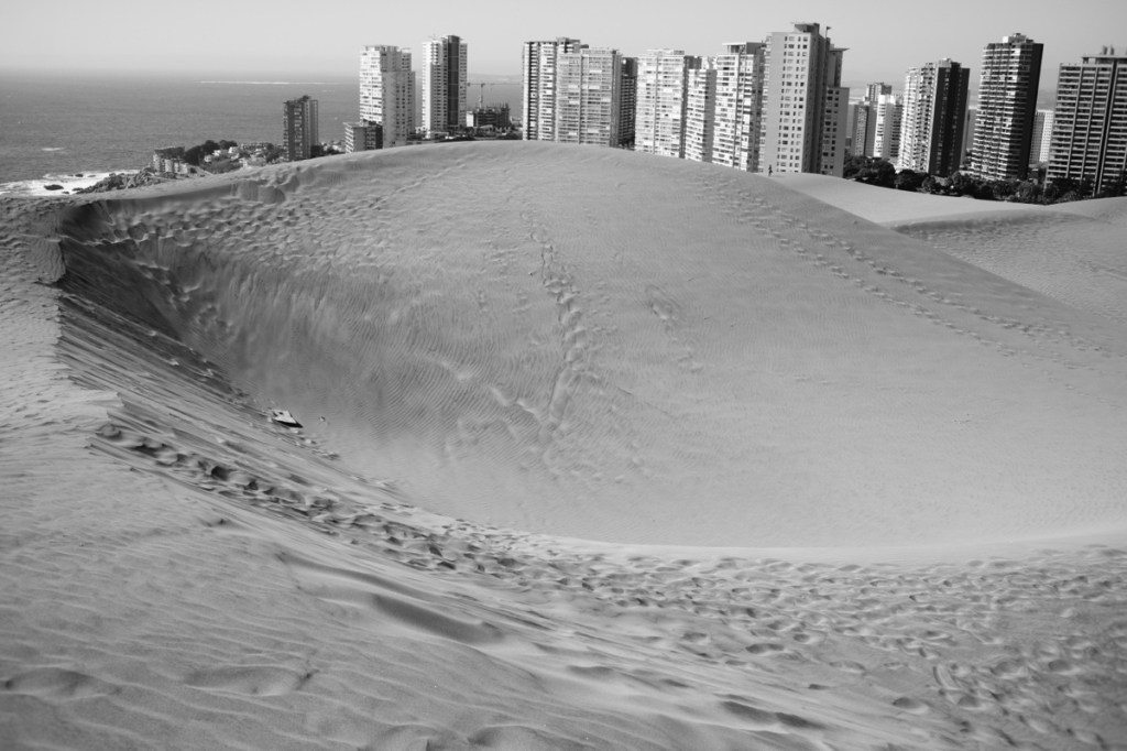
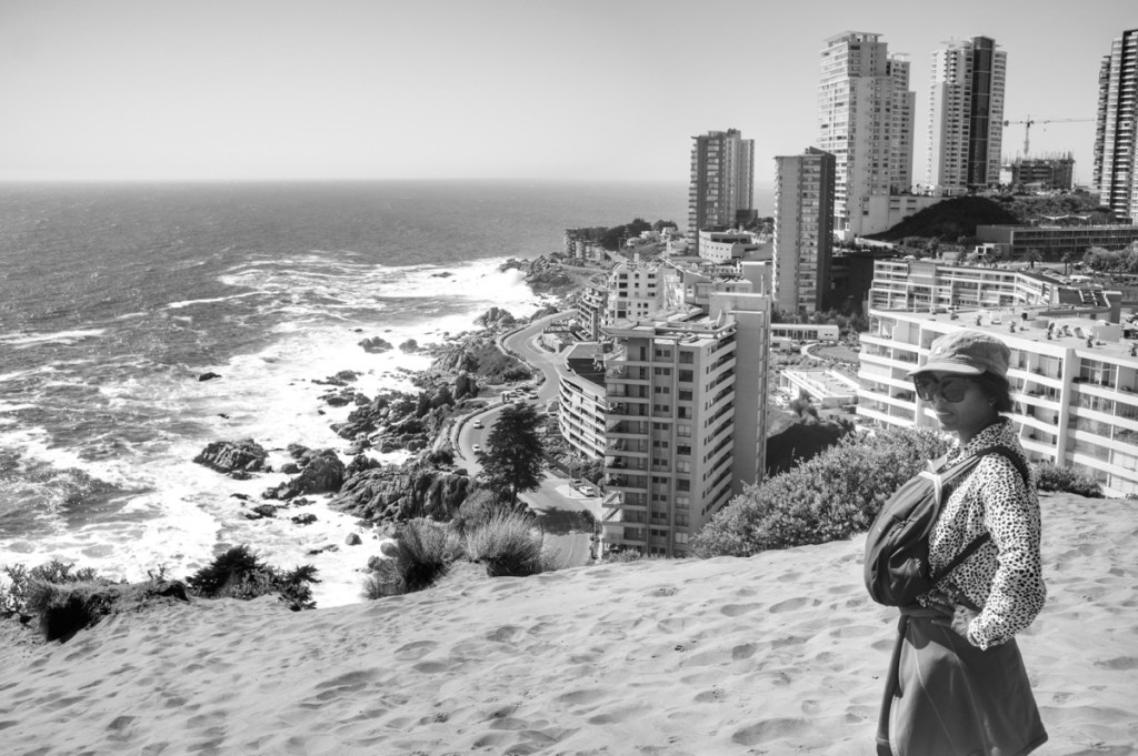
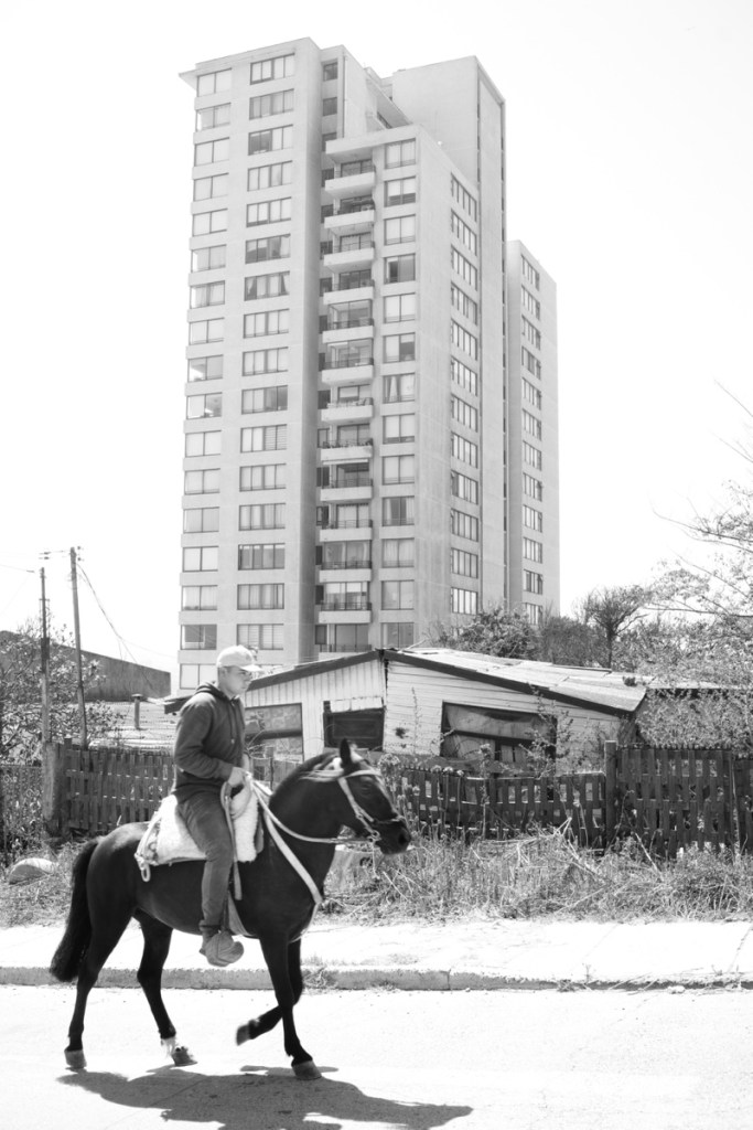
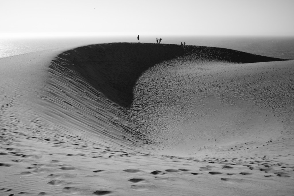
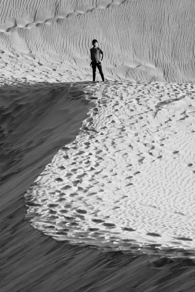
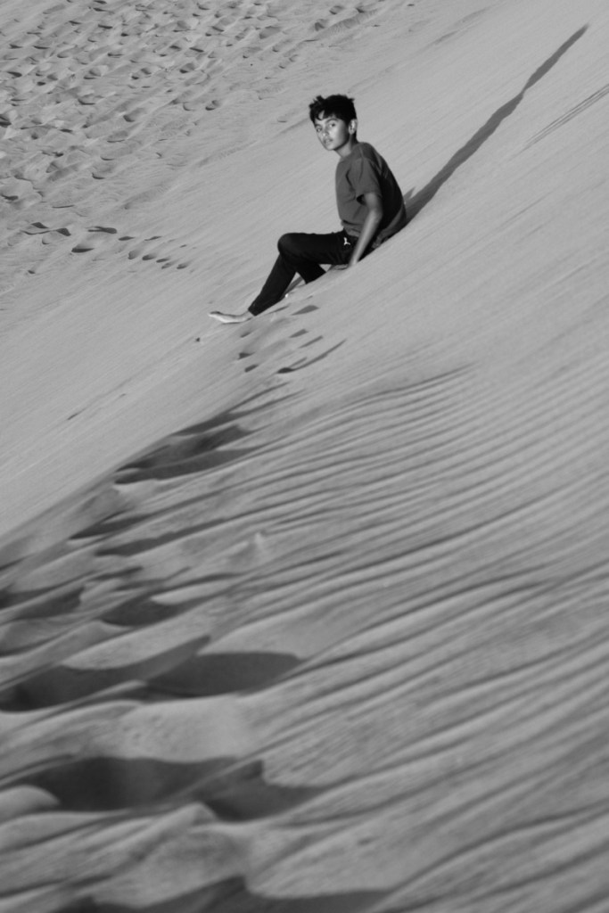
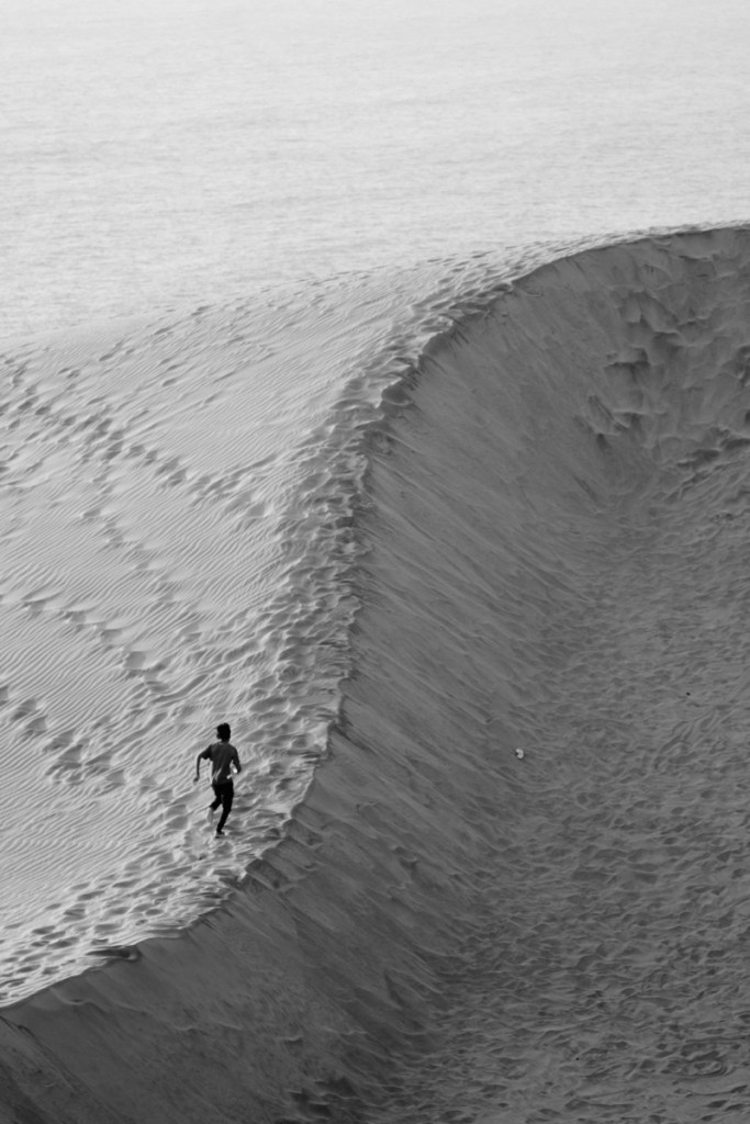
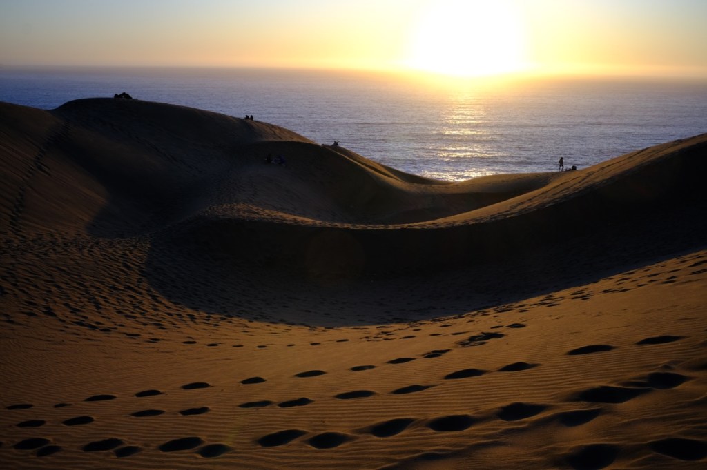
Just next to Valparaiso is Viña del Mar, whose sand dunes landscape along the coast has been eaten up by large towers for apartments and hotels, transforming the city into a fancy beach resort. It reminded us of the way the Spanish have completely ruined the beauty of the southern coast.
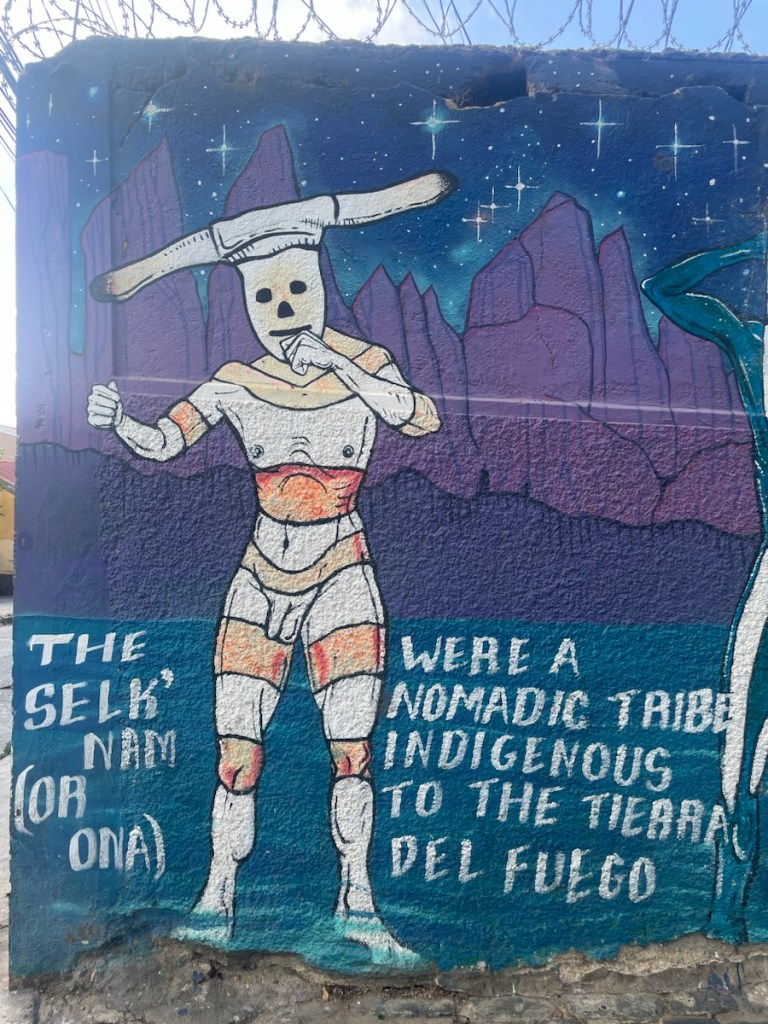
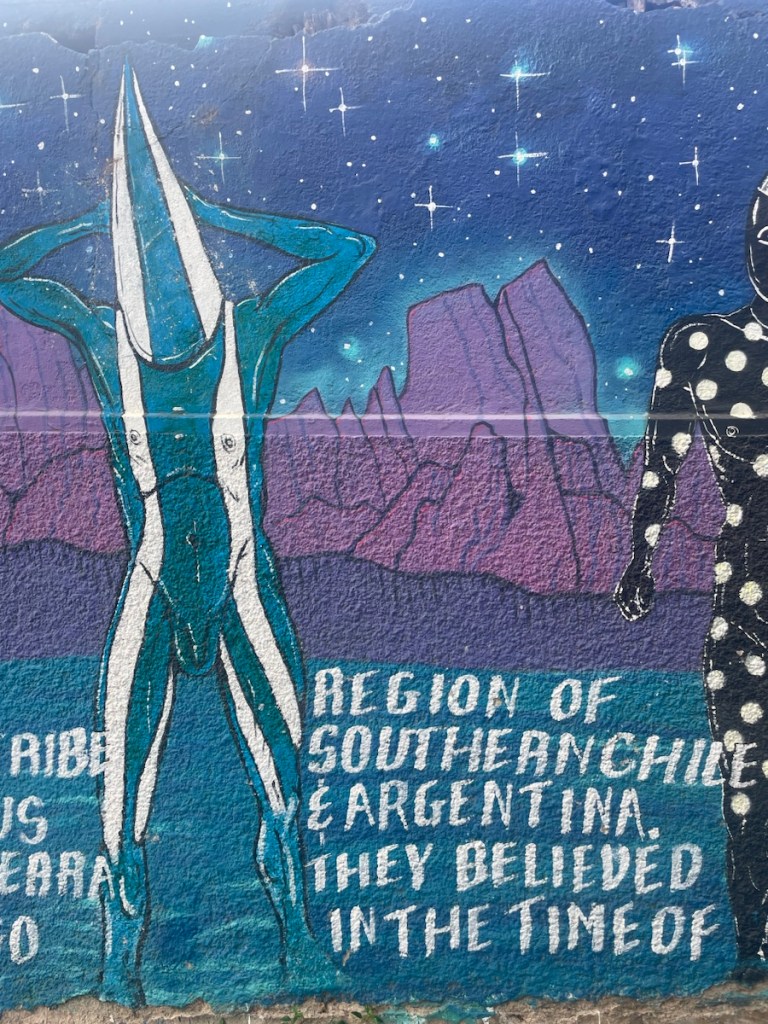
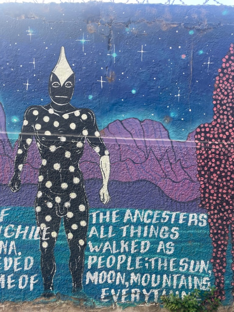
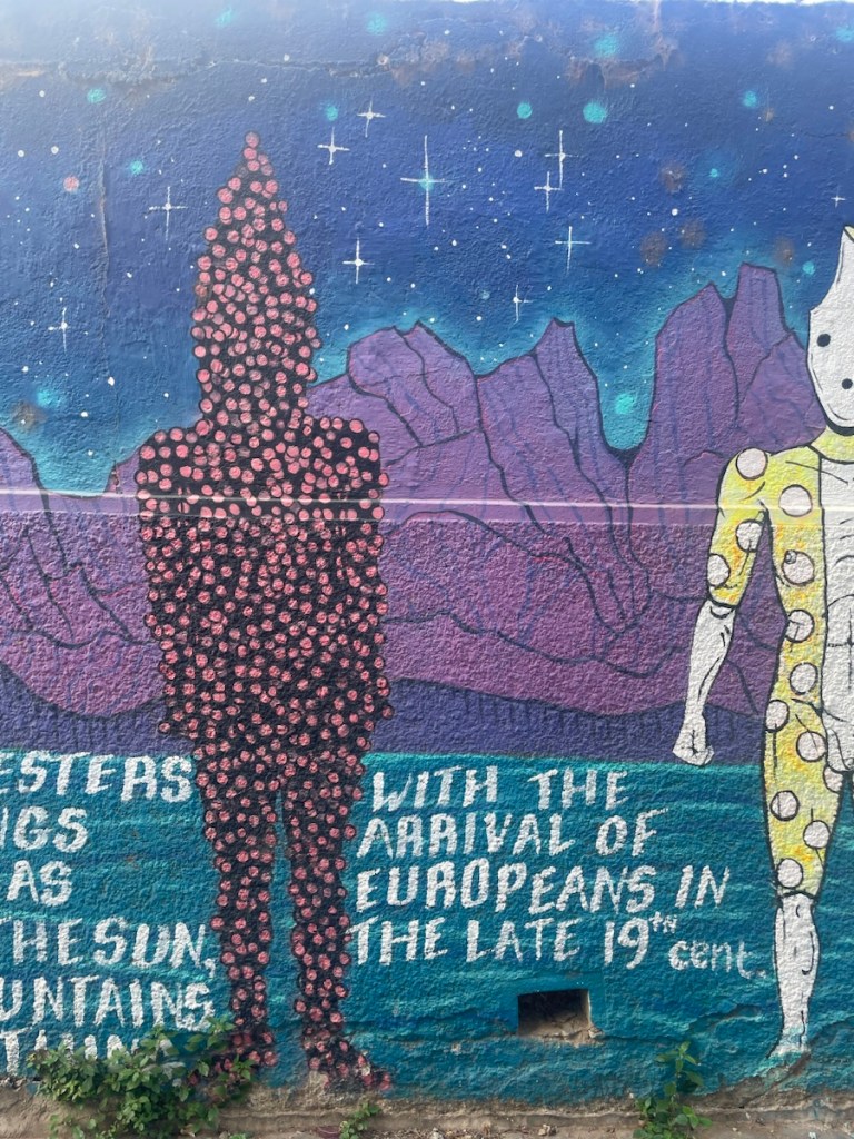
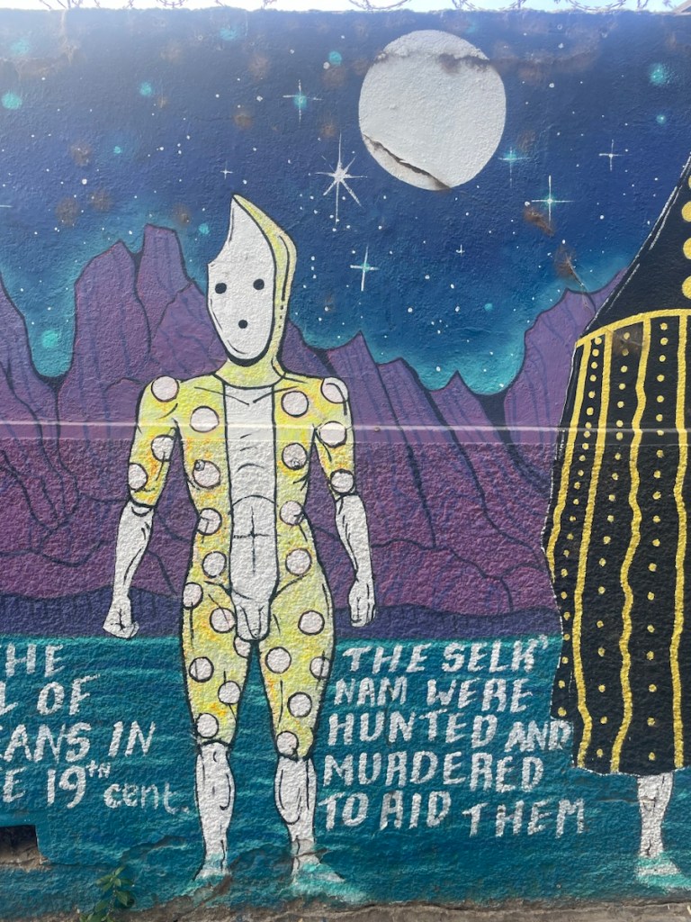
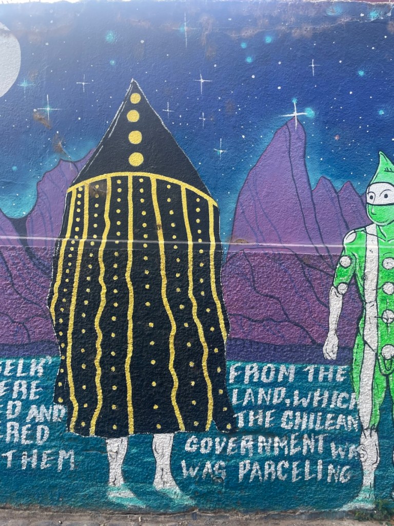
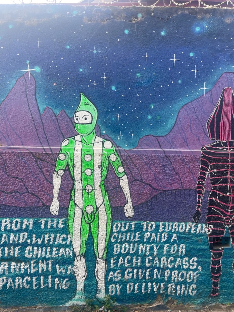
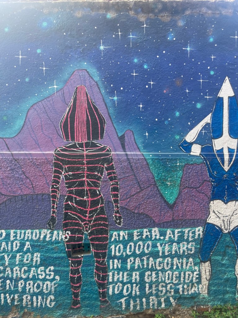
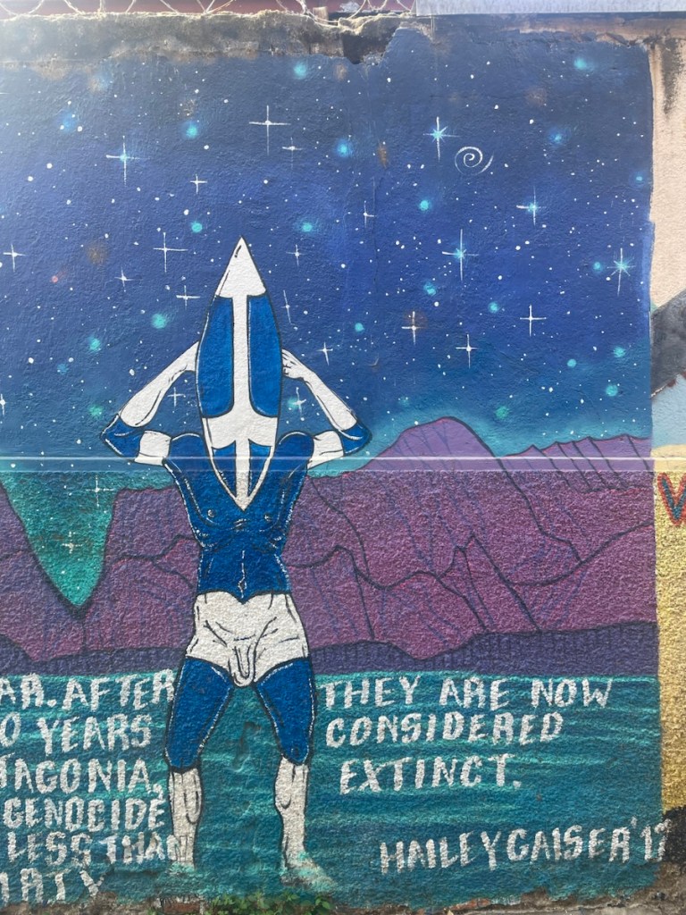
All in all. Chili felt like the most “Spanish” country of all Latin America. Their indigenous Mapuche origins represent merely 12% of the population and its culture has been completely evicted. Not to mention the Selk’nam of patagonia who have been completely extinct.
We were now more than ready to move on to the second leg of our journey and leave Latin America behind. Although Peruvian cuisine can be very nice and Chile had the best empanadas of the continent, Leo and Mary have grown tired of eating “fried chicken with rice and fries” everywhere and can’t wait for Asian food!
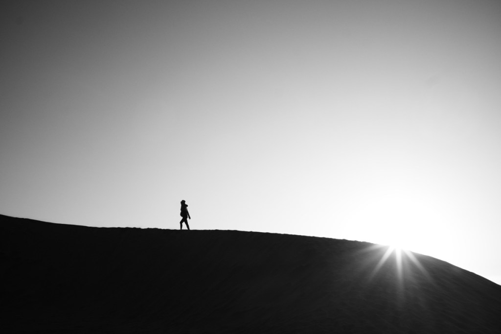
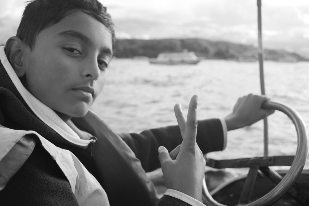
One fine evening im Valparaiso Valparaiso elevatorsJazz duet. Photo by LeoConcert of Cola de Zorro, our roommates!Viña del Mar #hellbeach Sand dunes changing into buildings in Viña del MarAnachronism of Viña del MarLast sunset over Latin America!
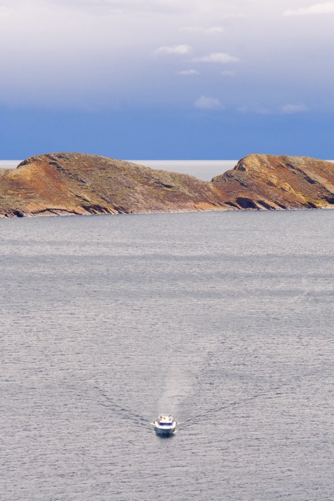
Every trip around the world should have its “end of the world” destination! And Easter Island fits the bill perfectly: 8000 souls on a rock lost in the immensity of the Pacific Ocean, 5000km away from the nearest continent and 2000km from the nearest neighbouring island.
We landed on the island, almost like on an aircraft carrier, on a tarmac who’s length is almost the width of the island. Ground control is fairly straightforward here as there is only one flight per day, returning an hour later to Santiago. We got off the plane and passed a big sign saying IORANA. It means hello in Rapa Nui. Conveniently, it also means good bye, so the same sign can be used for arrivals and departures.
Patricia, our host was awaiting us and, following the Polynesian tradition, passed a flower necklace around our necks. We were happy to be picked up, for our heavy bags, but we simply walked with her, for 20mins to the hostel.
Everything is about the same price as in Paris. And much like in Paris, you can easily pay any small amount by card. In the end, the most notable difference with Paris is the total absence of Eiffel tower. And, yes, the fact that Paris is not a 150km2 volcanic island in the middle of the Pacific. Anyways.
The first Polynesians would have reached the island somewhere between 800ad and 1200ad. The name Rapa Nui, meaning « Big Paddle », would be derived from another another smaller island near Tahiti, called Rapa, which also has the triangular shape of an paddle.
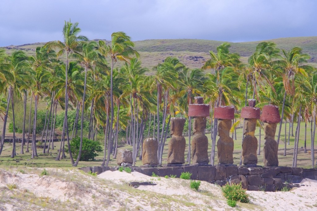
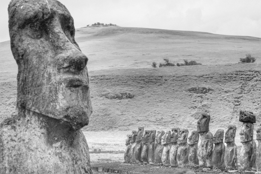
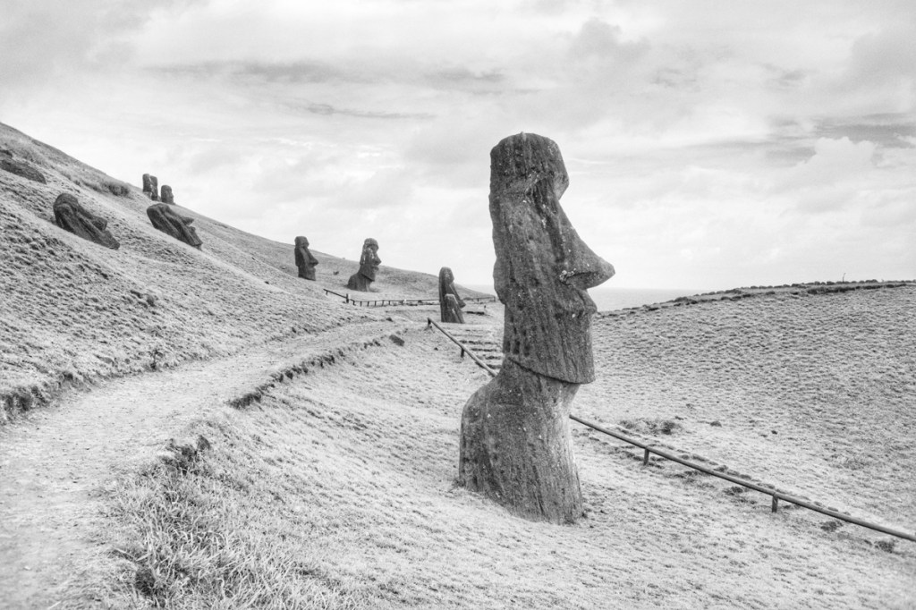
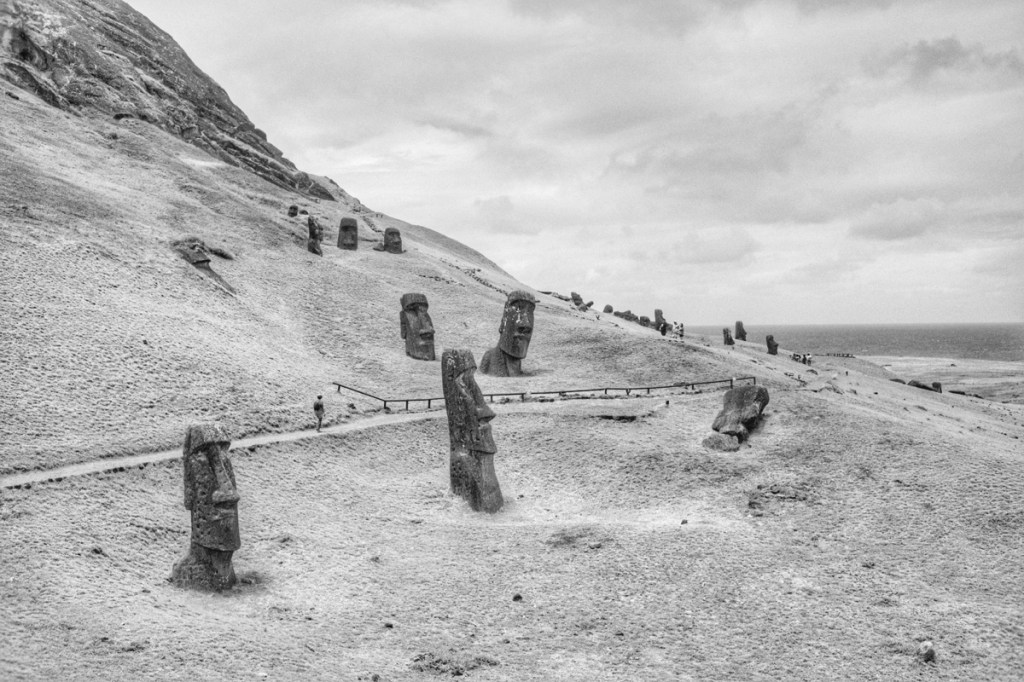
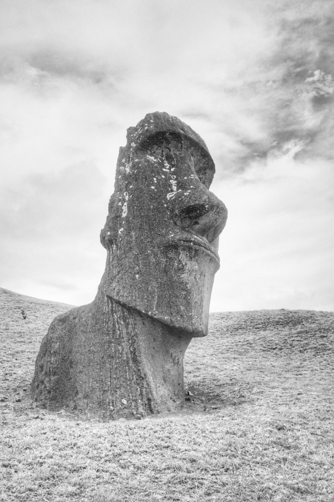
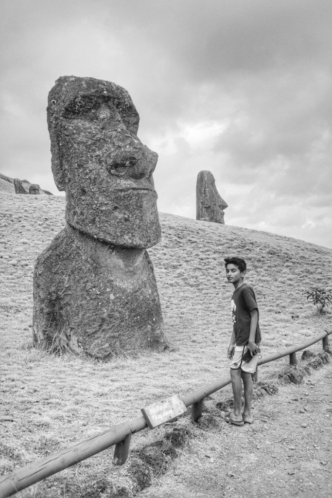
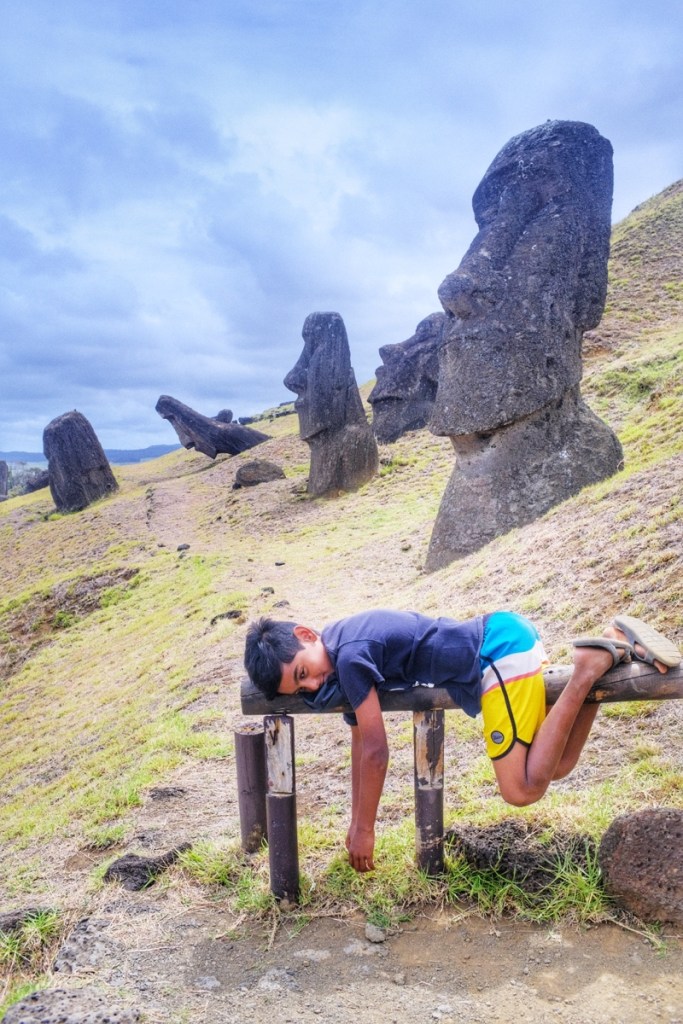
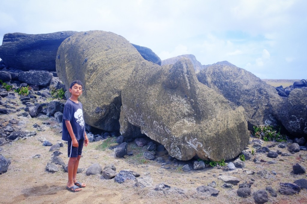
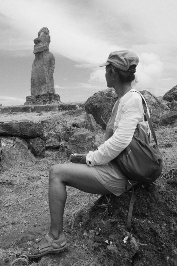
Rapa Nui is most famous for its Moais; massive sculptures of men torso and head, varying in size from 2 to 20 meters, often aligned on a Ohu, the platform on which they stand.
Each Moai stands on the tomb of an ancient member of the ruling class and is meant to keep his soul alive, to protect the island.
Much has been devised about how the Moais were transported from their place of manufacture to their Ohu. Turns out they just came “walking and dancing”! This is how the elders described the Moais pivoting on their base, like you do when you move your fridge!
The Moais protection story worked well for the ruling class for as long as the population was small and the land generous enough. After a while, somewhere around 1700, resources became scarce and people realised that the Moais weren’t protecting them much, so the ruling class was overthrown and the Moais pushed to the ground and abandoned.
After that a new system was adopted, sightly more democratic -or meritocratic- where each year,, selected members of each clan (some 20 to 30 on the island) would compete to become Tangata Manu, the Birdman. The one capable of bringing the first egg of a migratory bird from a nearby islet, was turned into a deity. The ceremony, held in Orongo, in the south of the island, turned into a council of the elders.
Oh by the way, don’t take anything I write here for solid truth! I merely report -and interpret- whatever I understood from what some guide told me – which he himself reported and interpreted! .. You know, it’s like that moment where oral tradition is finally written down and makes the history books 😛
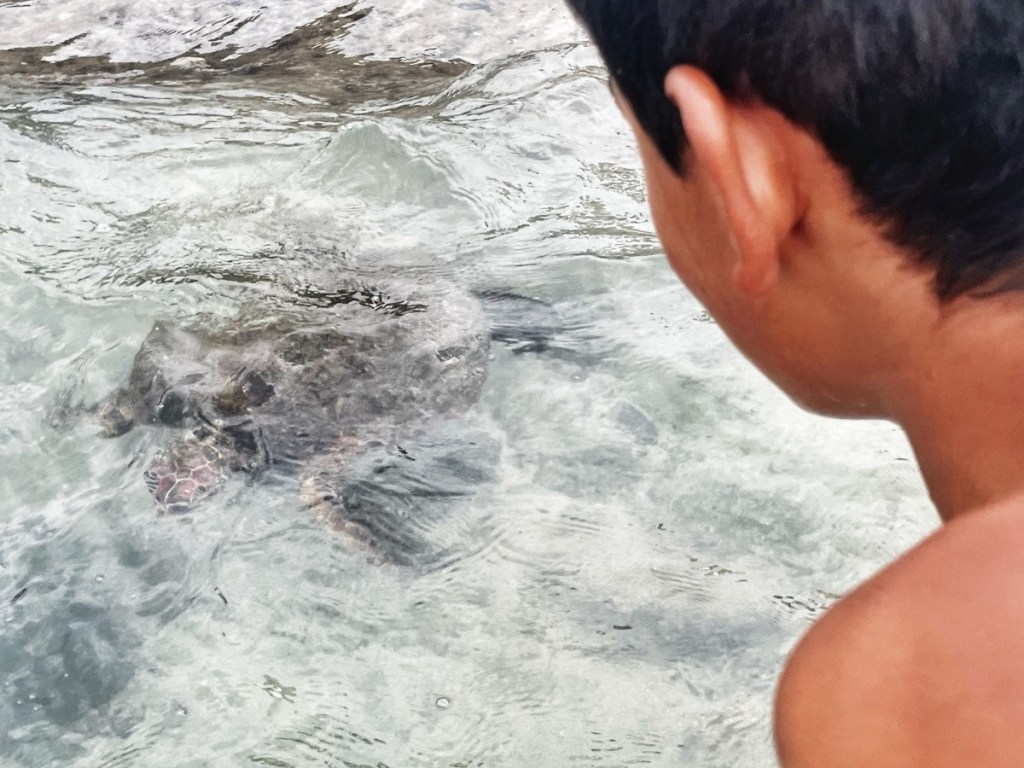
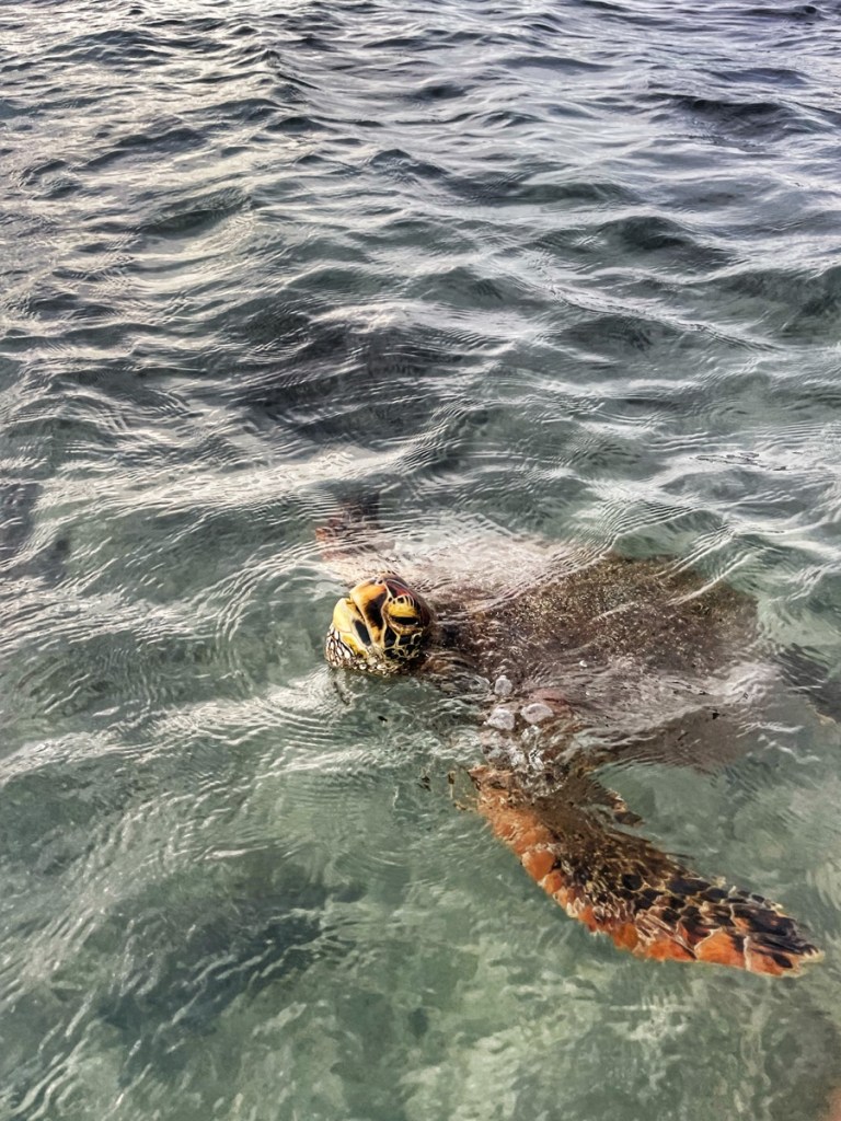
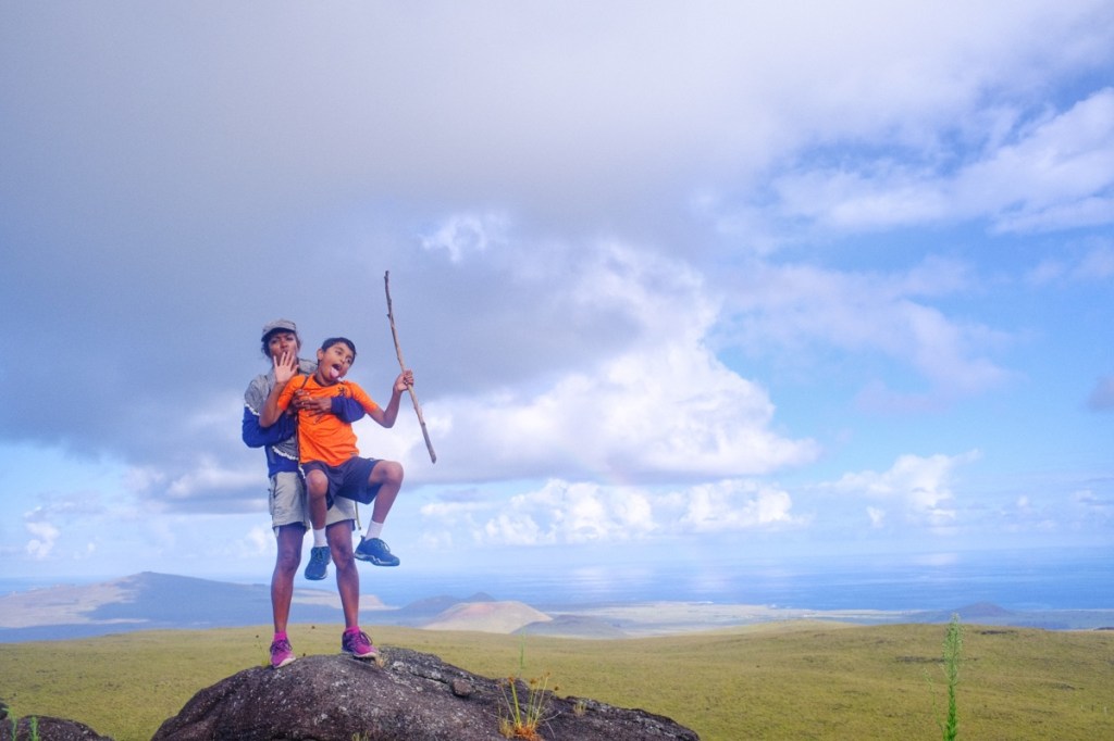
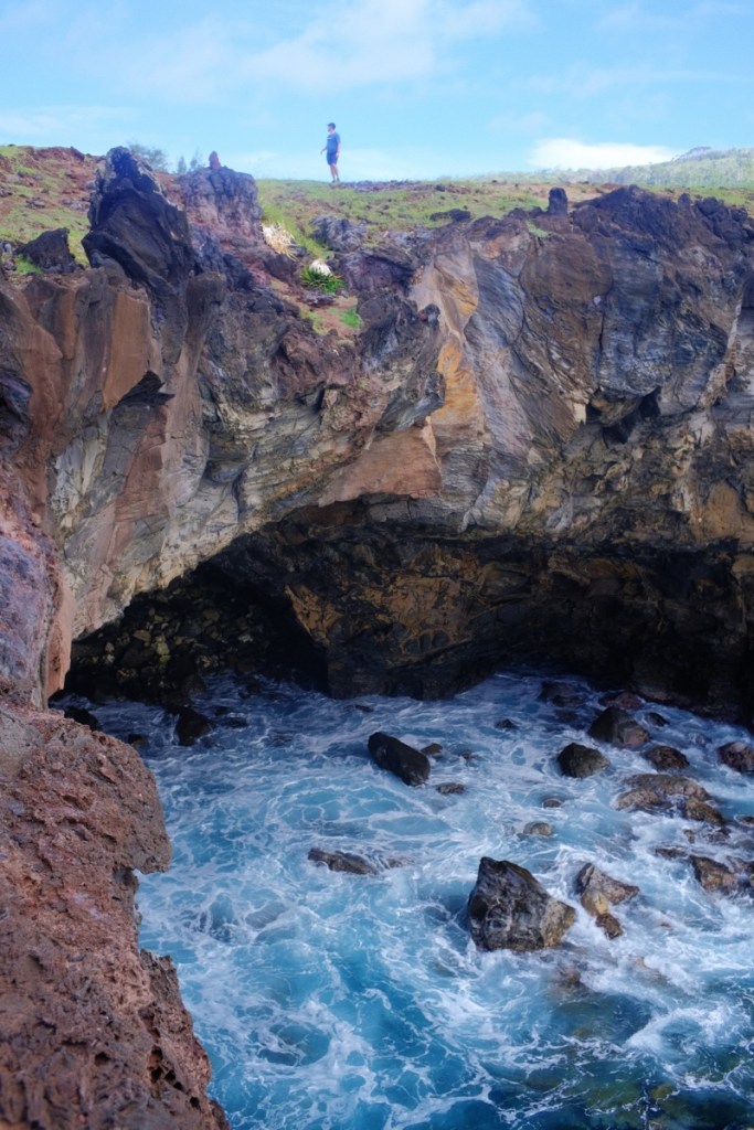
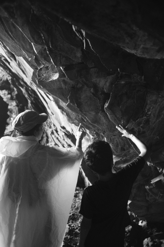
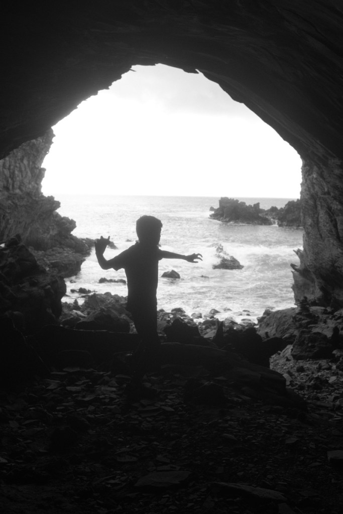
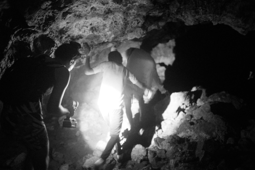
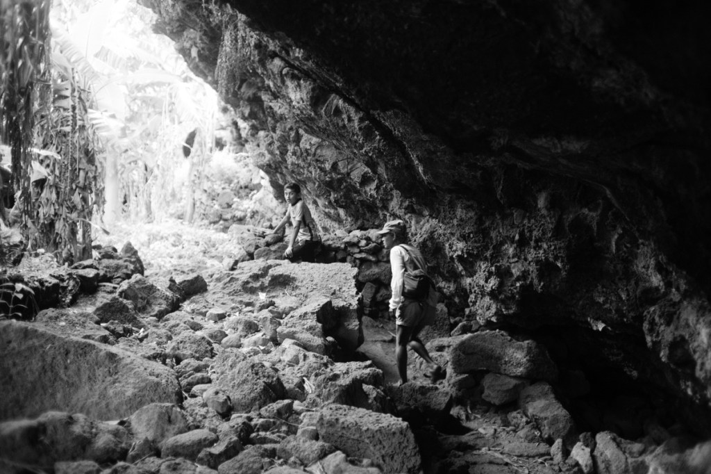
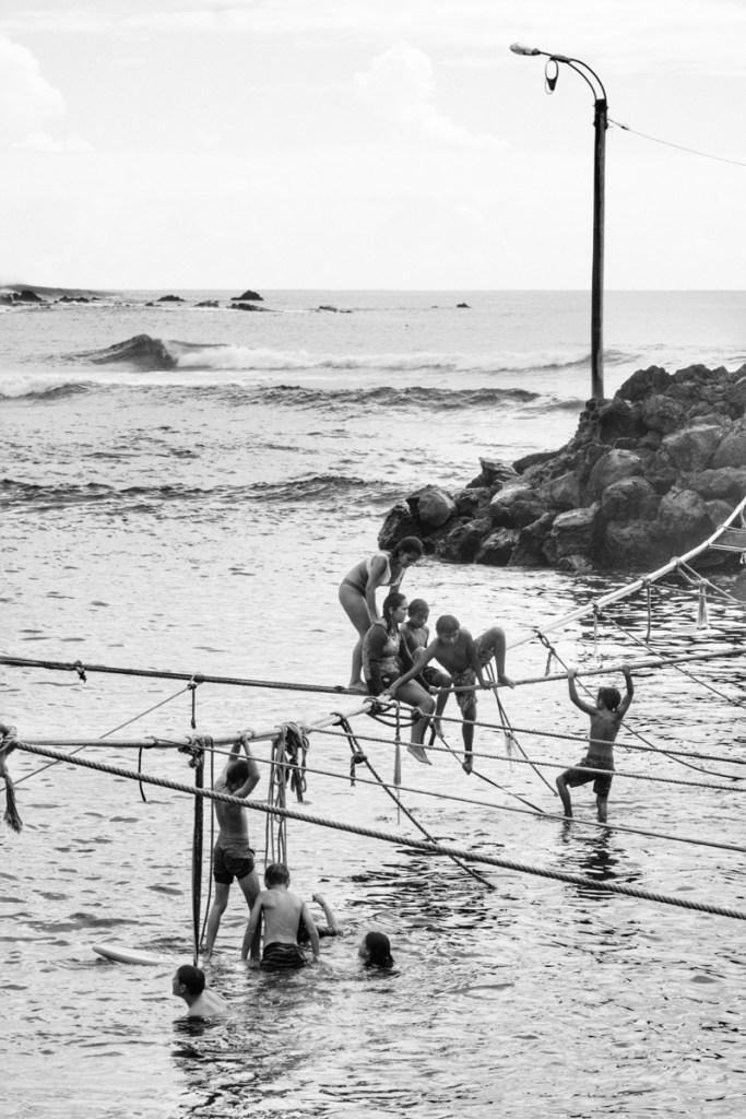
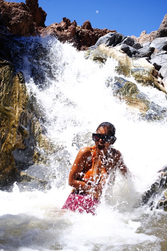
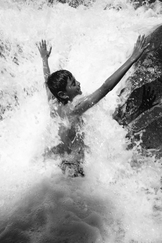
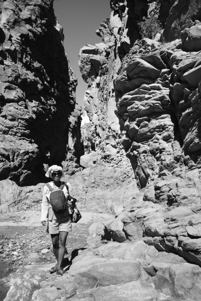
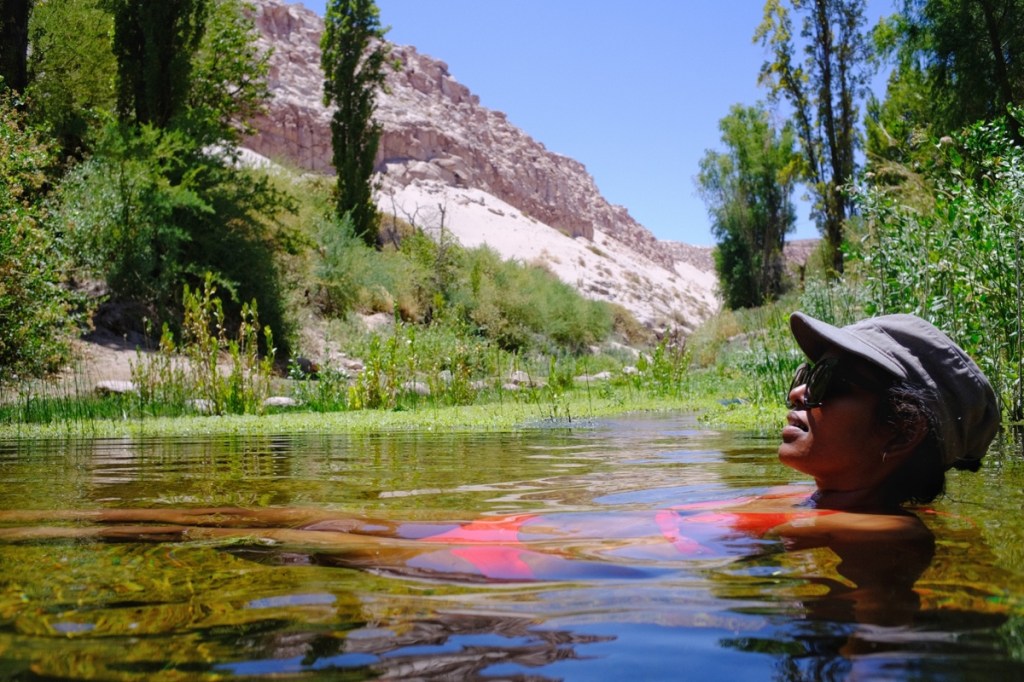
Besides listening to Moais stories, we also climbed the 3 main volcanoes that for the skeleton of the island, and visited gigantic underground galleries formed by flowing lava. And of course we bathed in the warm waters of the pacific, while big beautiful turtles came swimming right next to us ❤️
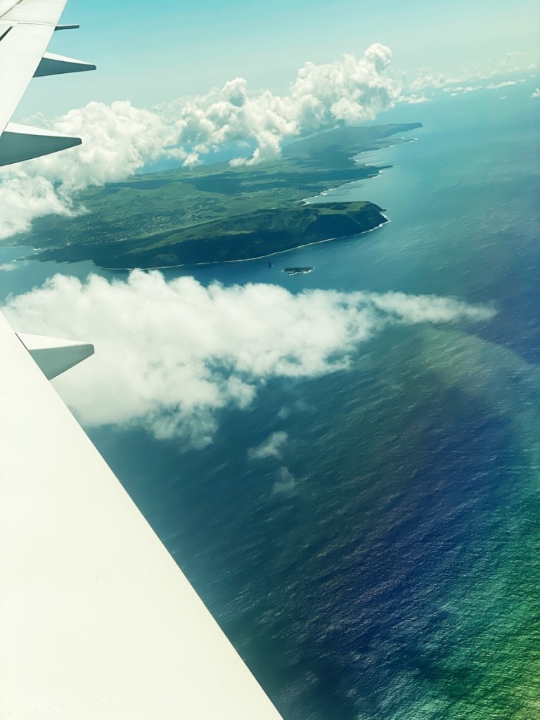
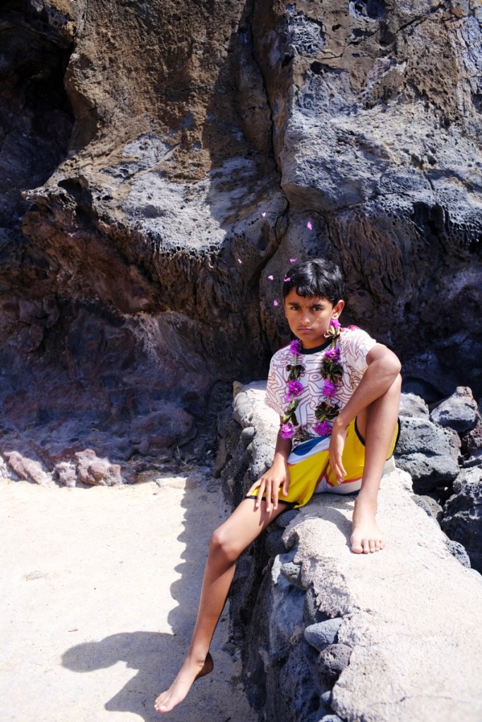
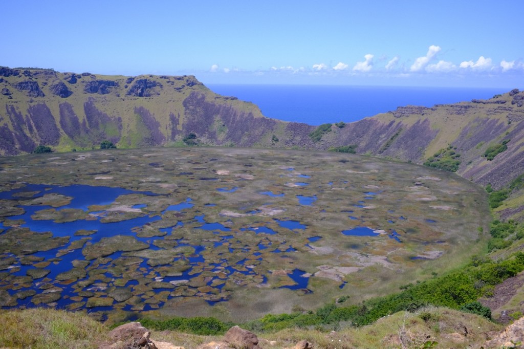
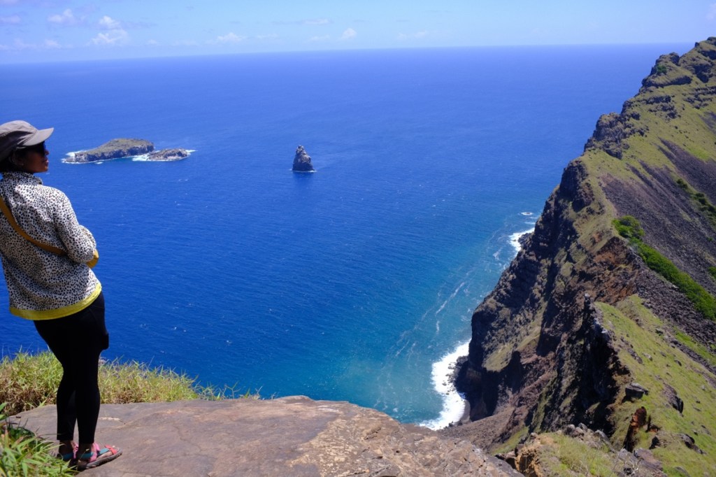
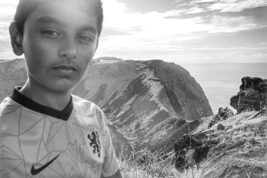
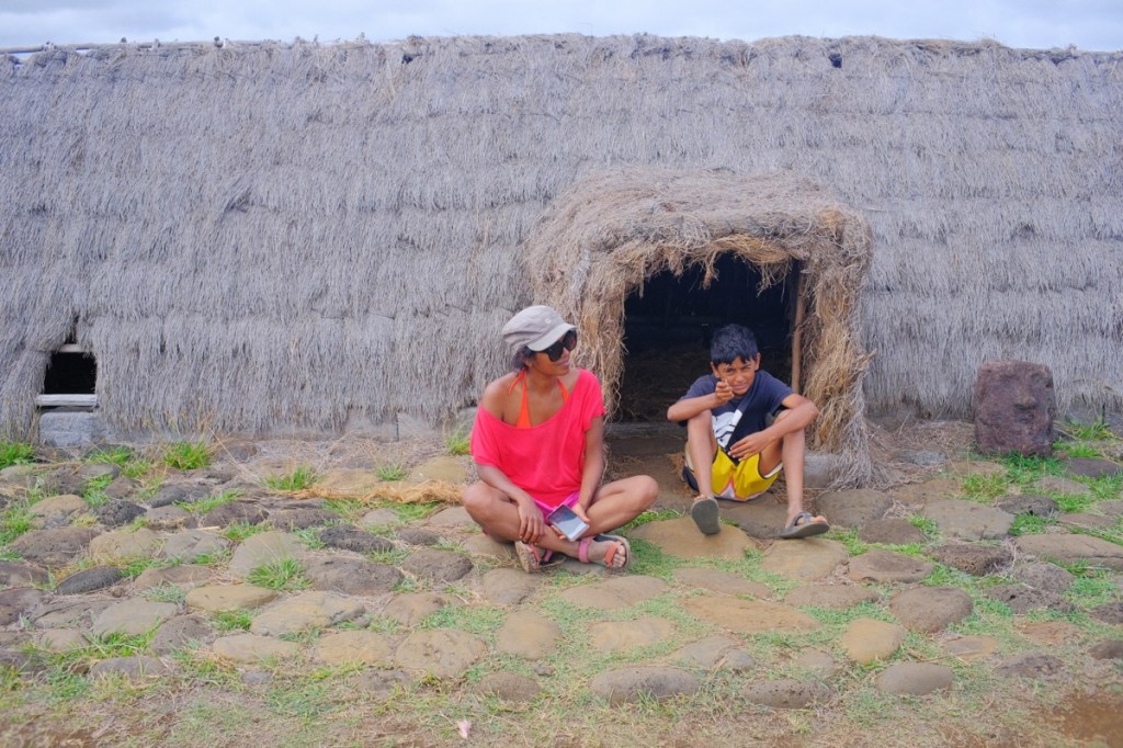
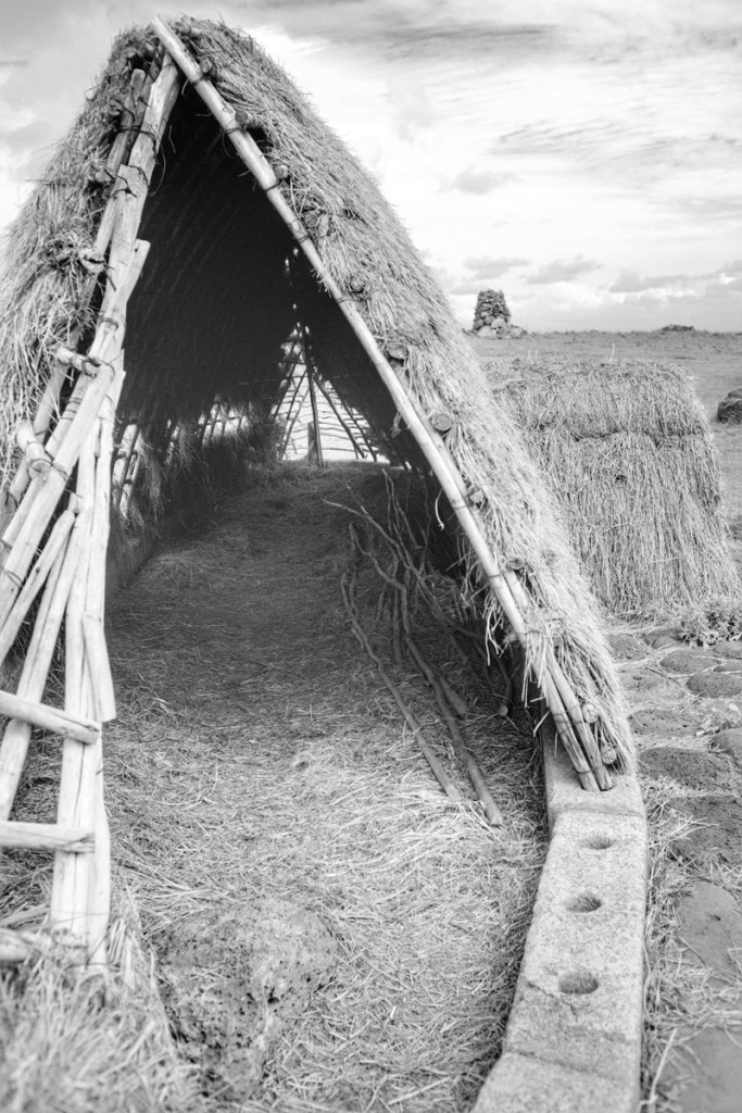
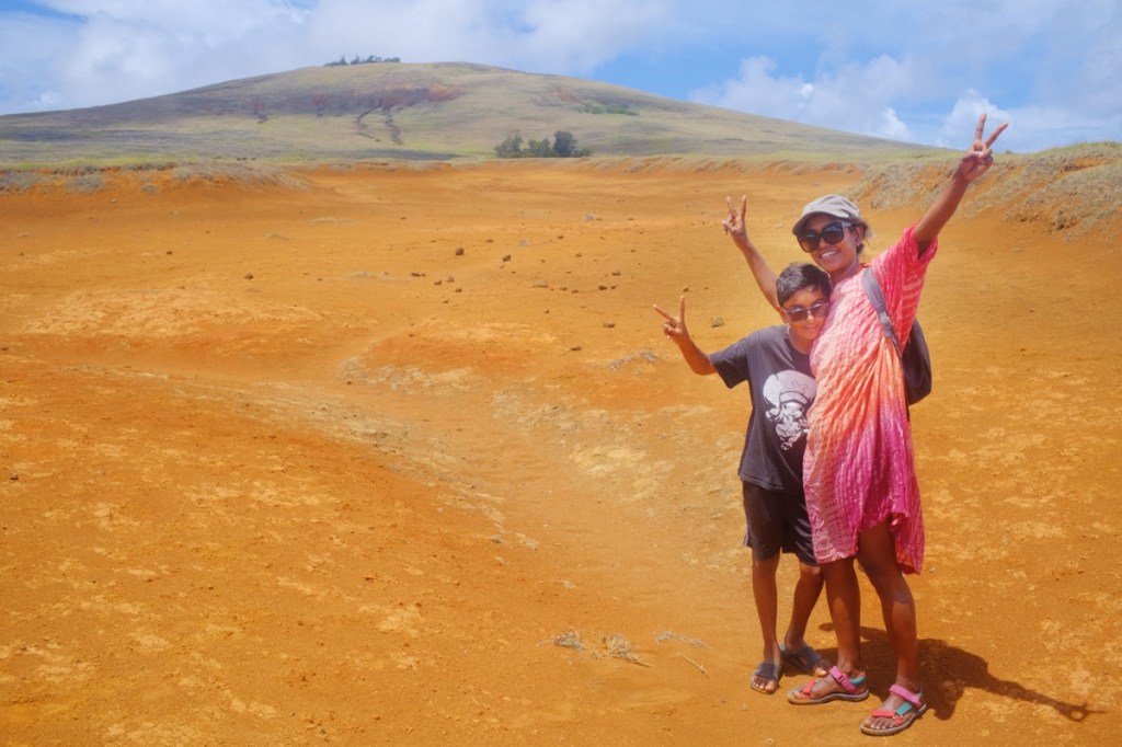
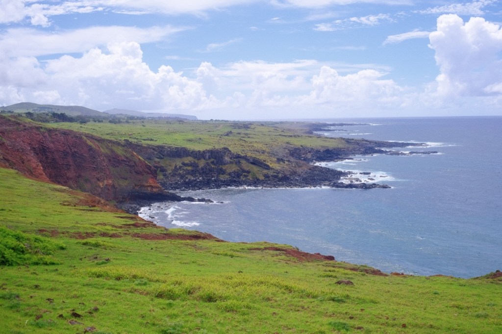
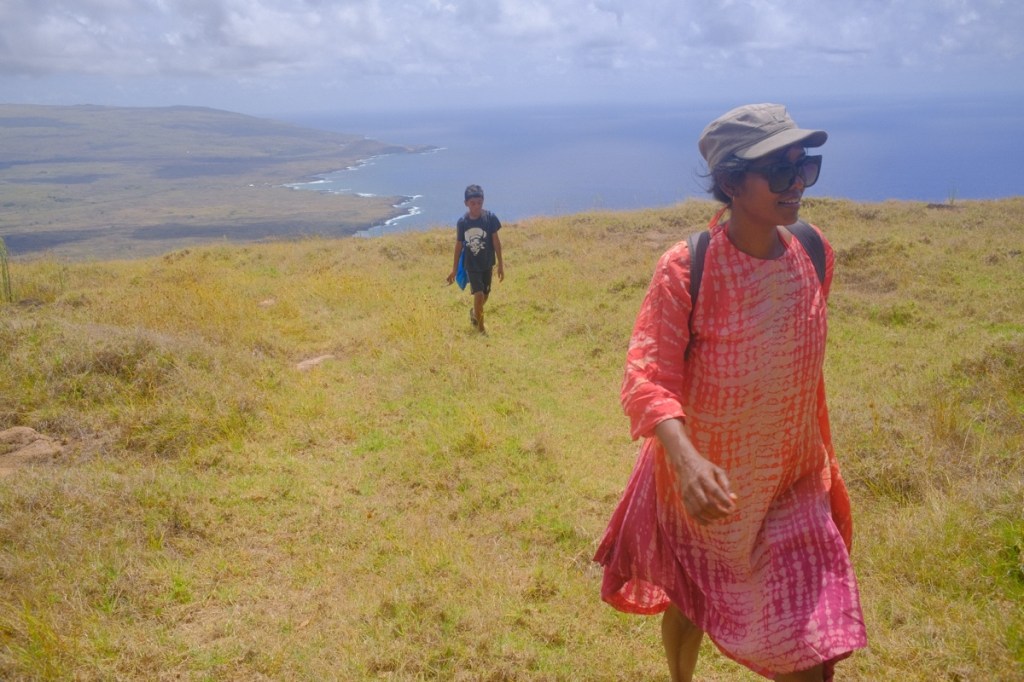
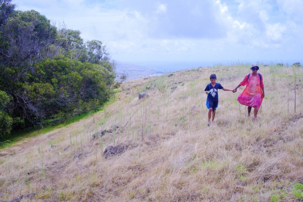
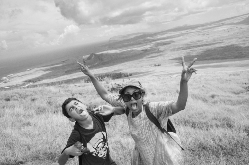
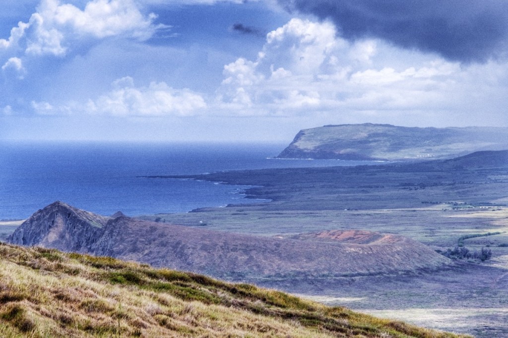
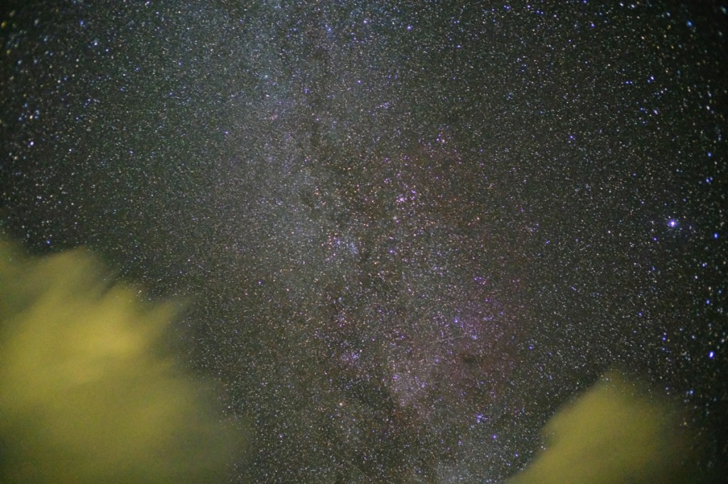
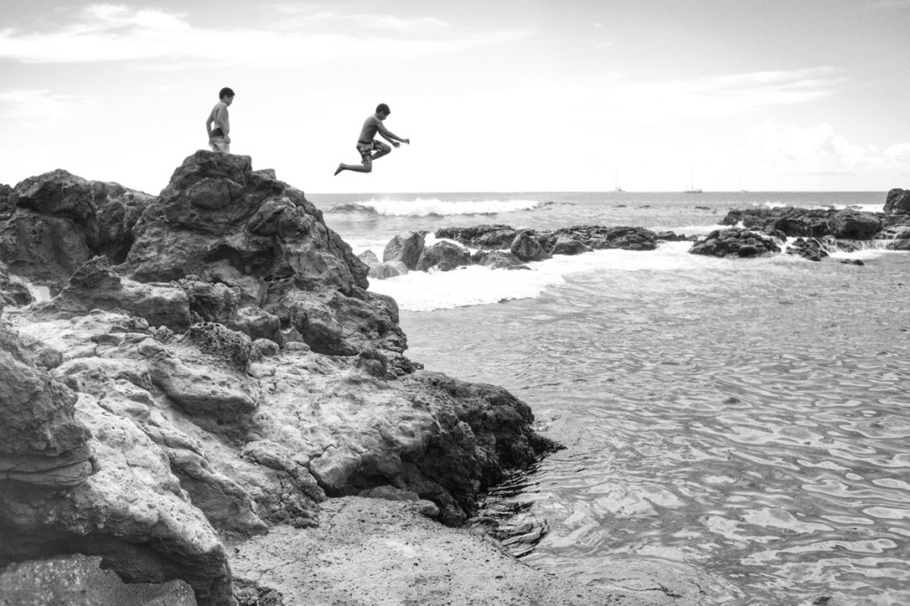
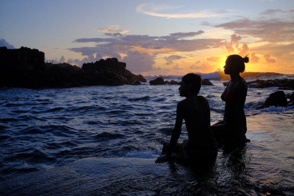
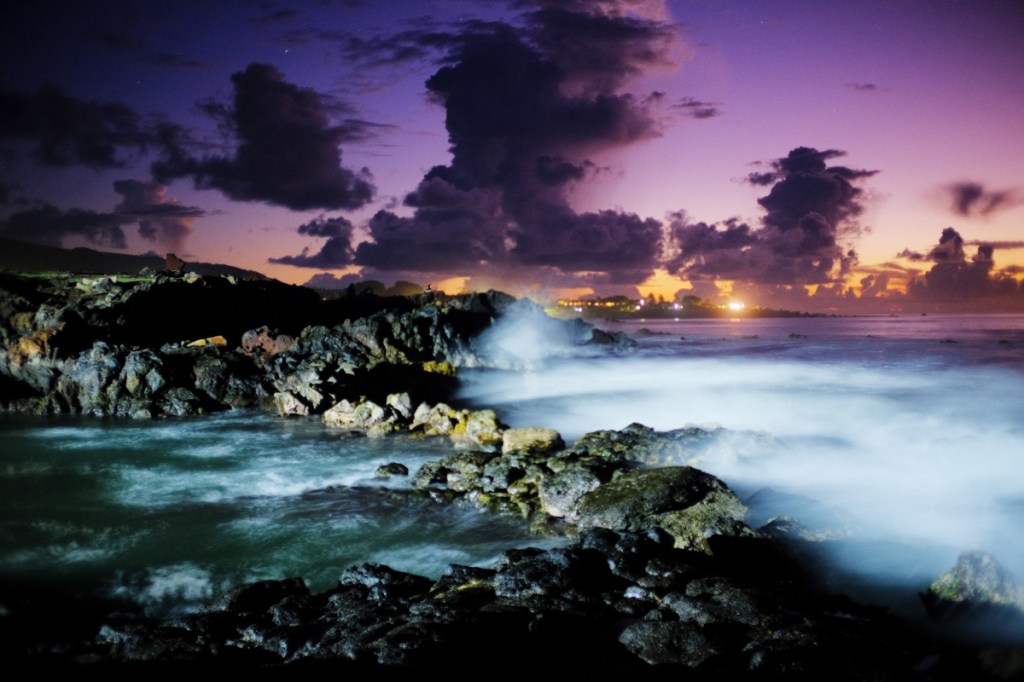
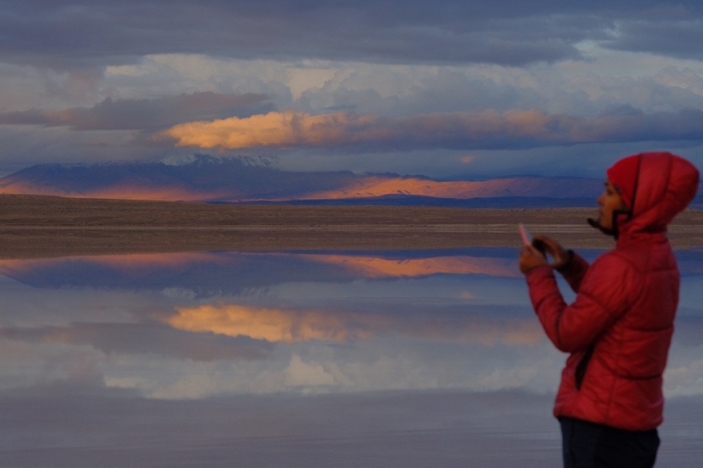
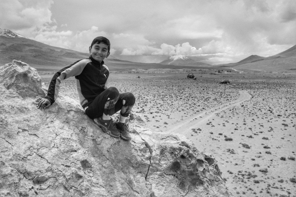
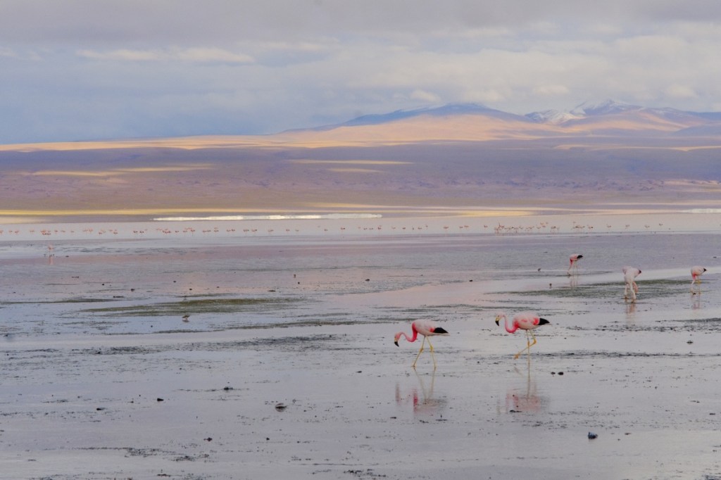
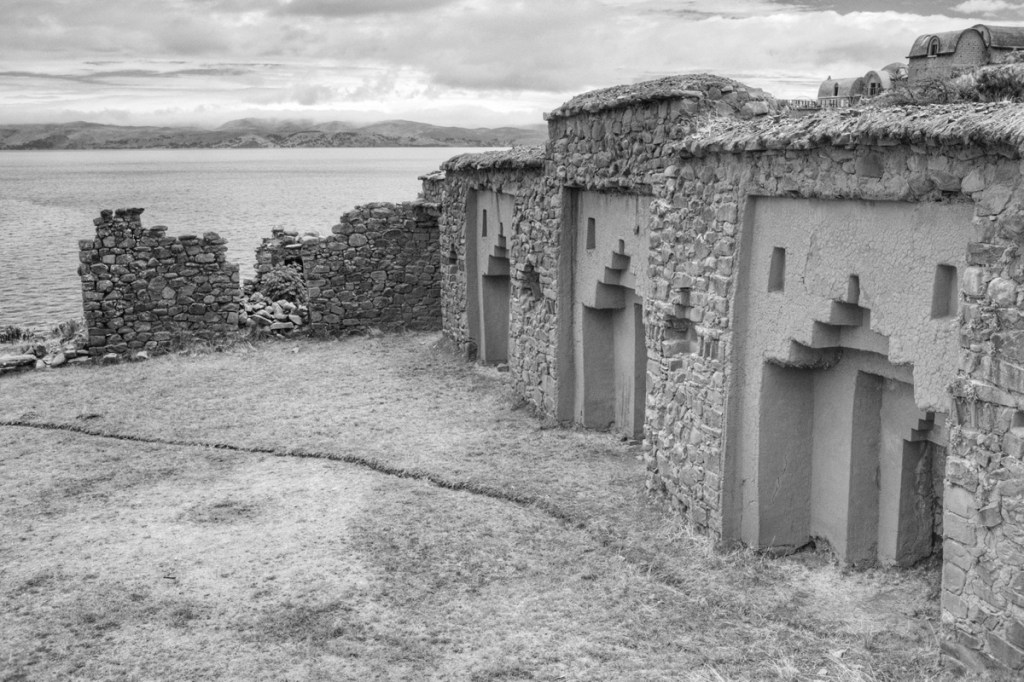
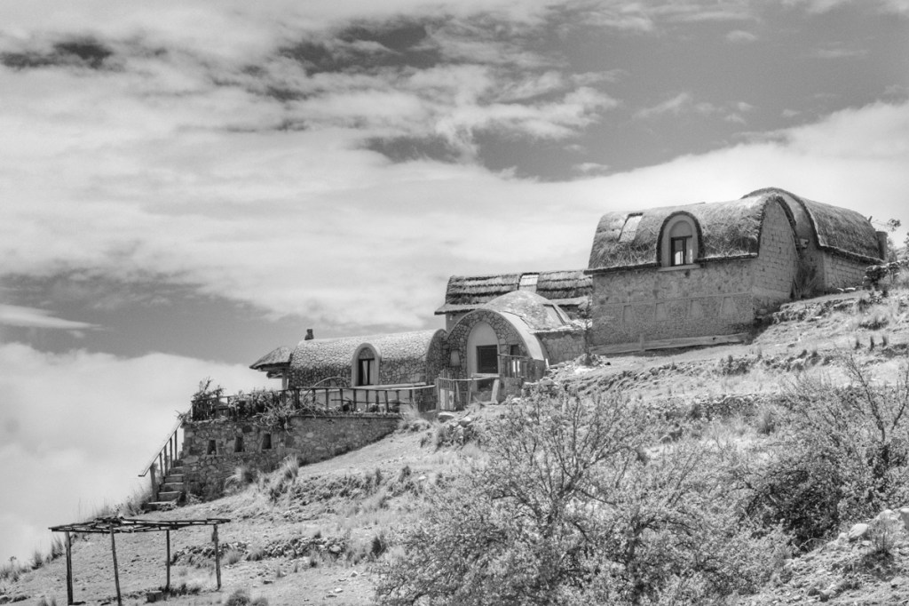
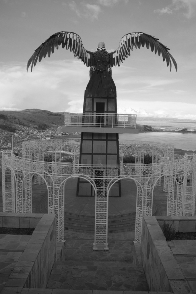
First look at the island from the plane (photo Mary). We see the southern volcano, Rano Kau, where the Birdman ceremony was held.Hello / GoodbyeLeo in flowers 🌺 Rano Kau, the most beautiful crater 😍Mary on the edge of Rano Kau, facing the Birdman isletLeo near the crater of Rano KauLeo and turtles 🐢 First sunset on the islandOur first Moais, by the beach AnakenaThe “traveler” and the 15 MoaisBuried Moais at the quarry of Raro RanakuThe tiny dot on the path is Mary walking amongst the buried MoaisLeo and “big nose”, his favourite Moai!Sitting in front of a traditional hutStarting our climb of the Poike (northeast volcano)View of the northern coastAlmost thereAround the crater Picnic under the Eucalyptus in the craterToo happy to get back down!View of the eastern coast from the PoikeView of the Milky Way from the Rano KauTop of the Terevaka at 511 meters, highest point on the island – the lion king Mouth of a lava tube open on the sea, Ana Kai Tangata, where the men where preselected for the Tangata Manu contest Exploring lava tubesExploring Ana Te PehuLeo collecting rain water in Ana Te PehuMary looking at the only supposedly female Moai on the island – not much explanation given!Kids playing in the harbour of Hanga RoaKids jumping in the PokoLast sunset, in the Poko, the natural pools of Hanga RoaNight shot of the PokoOne last sunrise behind Hanga Roa
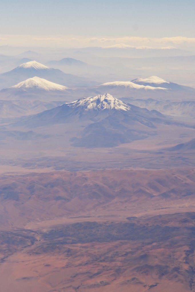
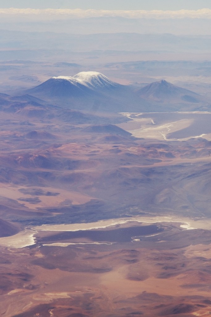
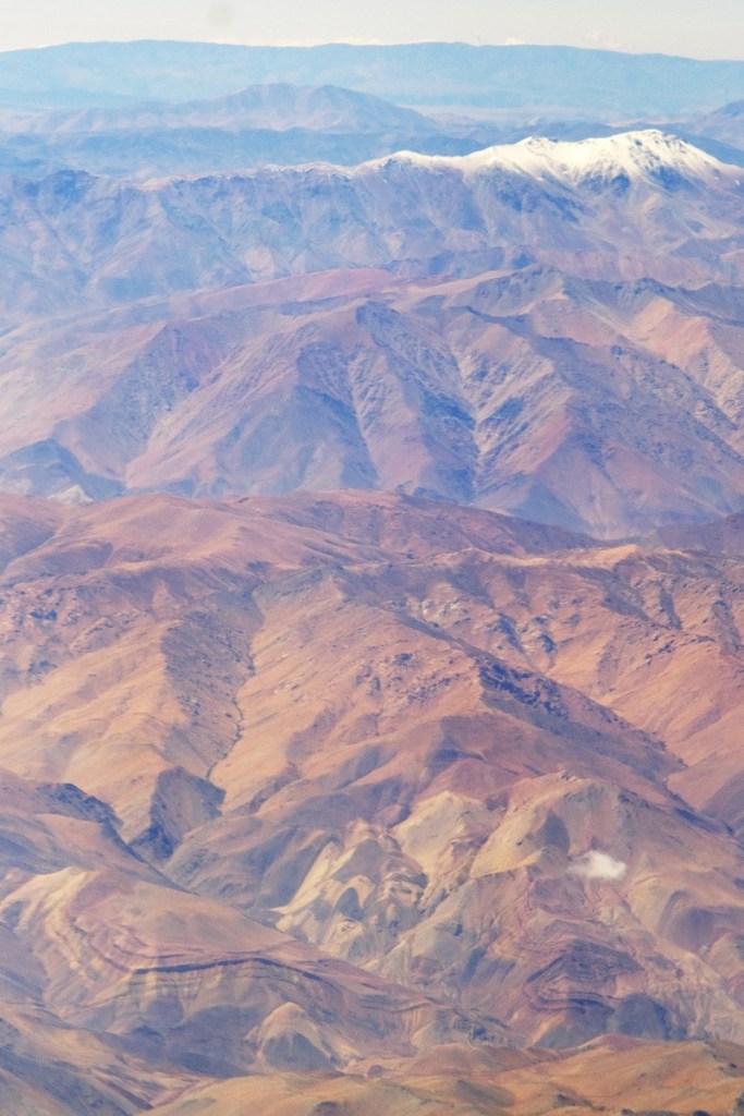
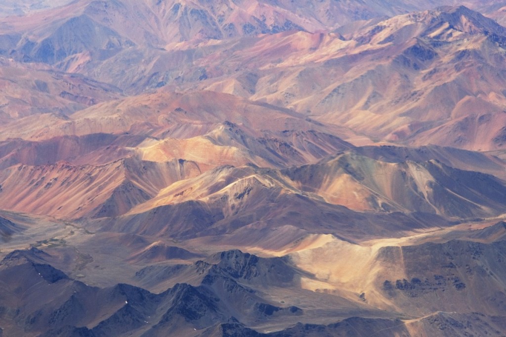
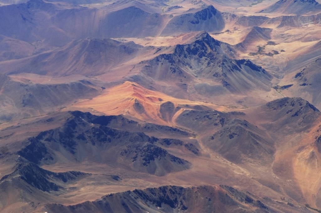
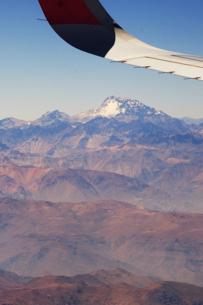
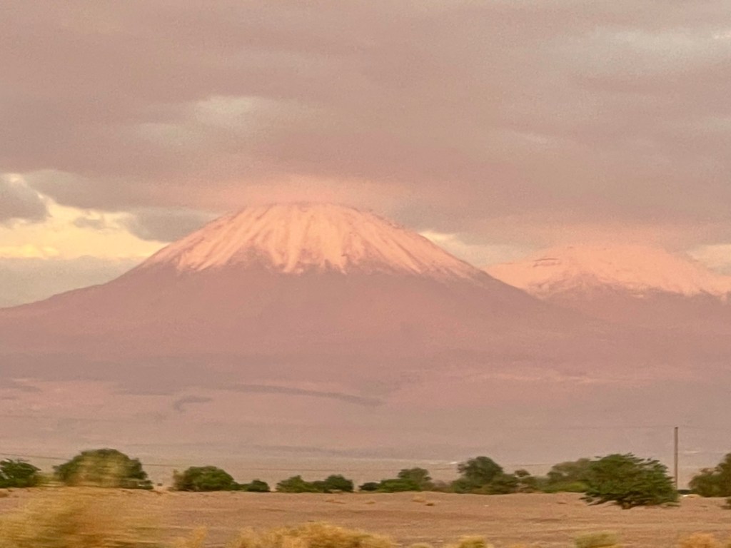
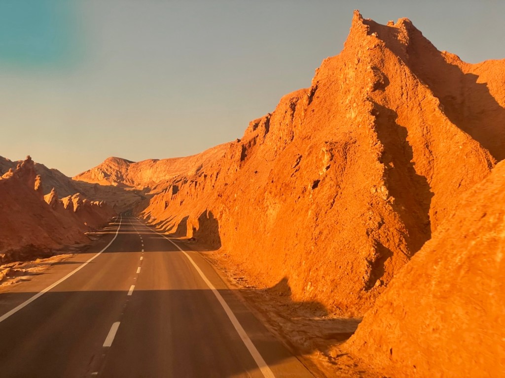
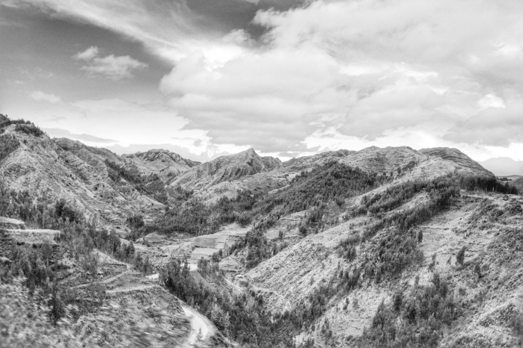
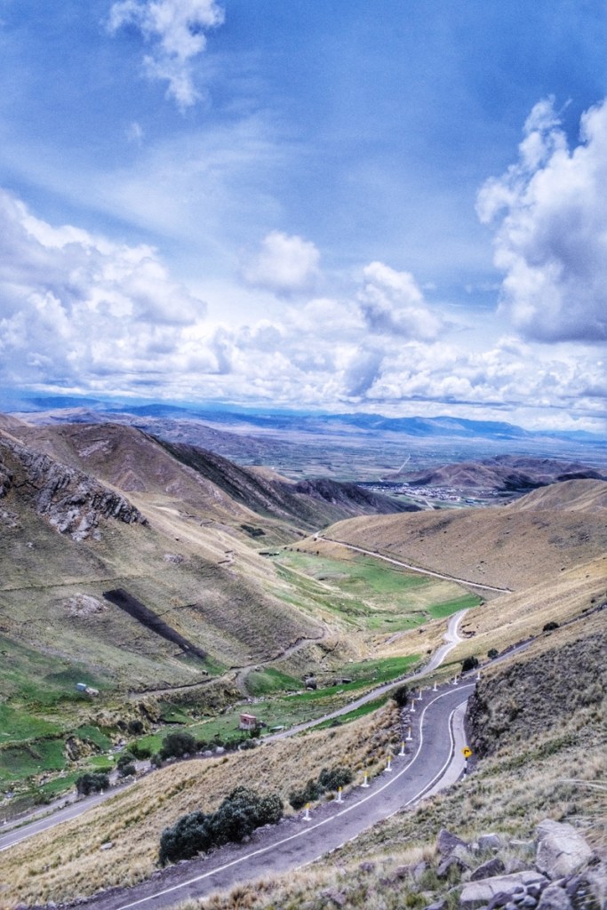
Flying from San Pedro de Atacama, over the Andes to Santiago, we could confrm that the mountain range is just as beautiful from above as it is from the road.
We just had one day to see Santiago before our departure to Easter Island. So we visited the city thoroughly.
We visited the tourism office to check if we needed a PCR test for our next day flight. But they weren’t sure.
So we visited a government vaccine center to check if we needed a PCR test for our next day flight. But they weren’t sure.
So we visited the Latam website to check if we needed a PCR test for our next day flight. But they weren’t sure.
Then we looked for travel agencies located on google maps but inexistant in real life.
Finally we visited a mall outside the center, that had a Latam office and they confirmed we didn’t need one. Which is good because by that time, we didn’t have enough time to get a PCR test!
In the end I could just take a few street shots as we walked and from the terrace of a café. And with that, we’re ready for our flight to the end of the world!
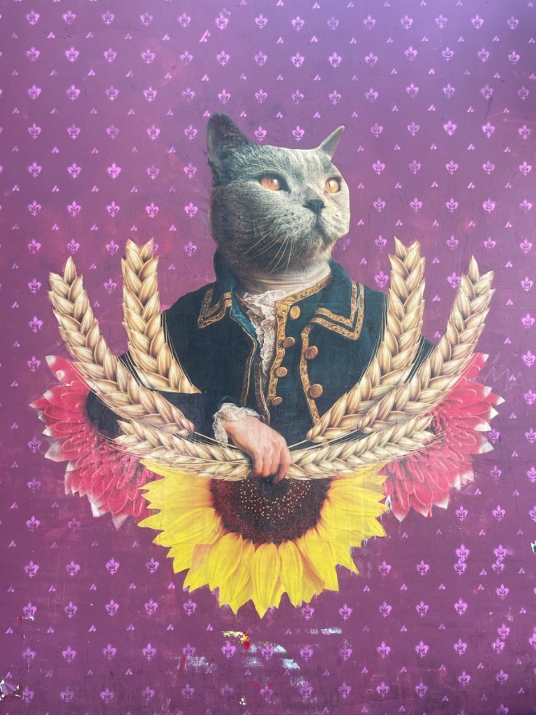
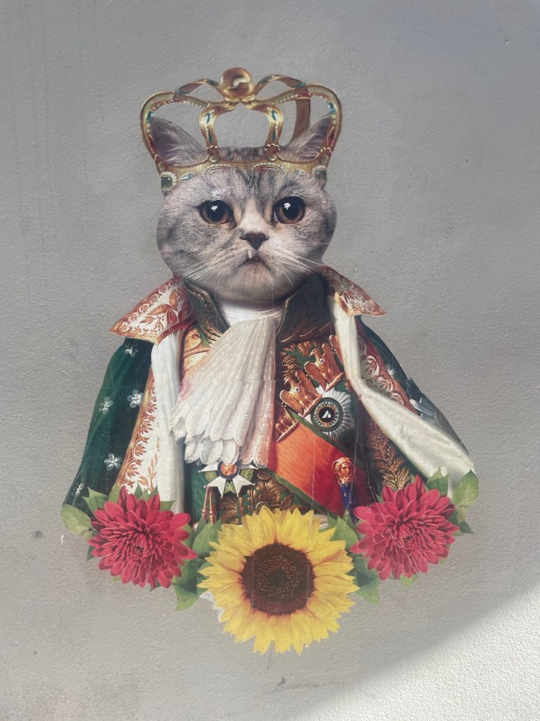
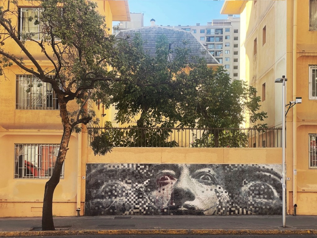
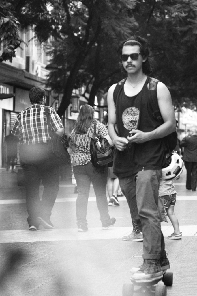
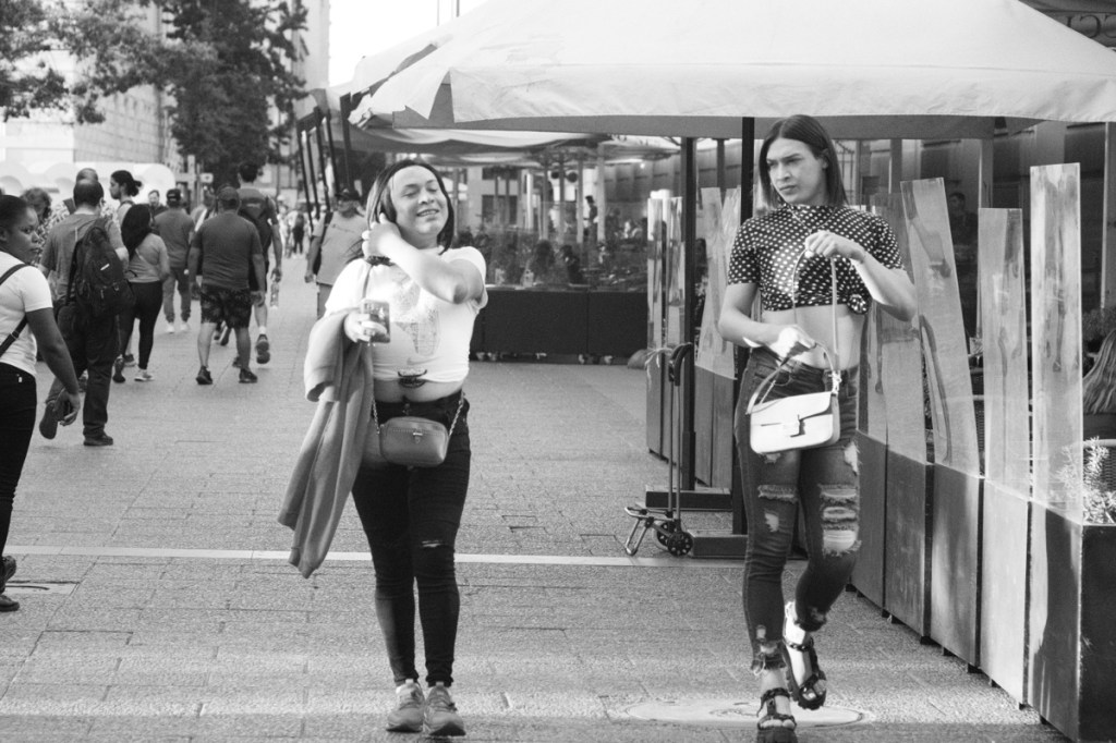
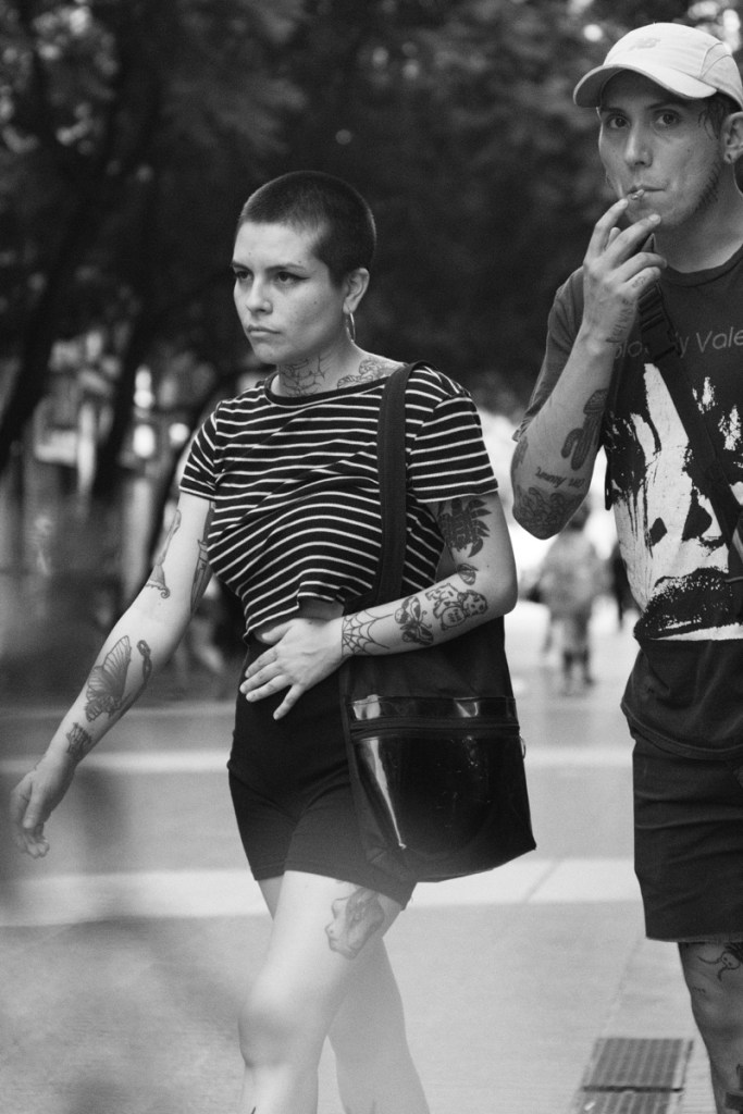
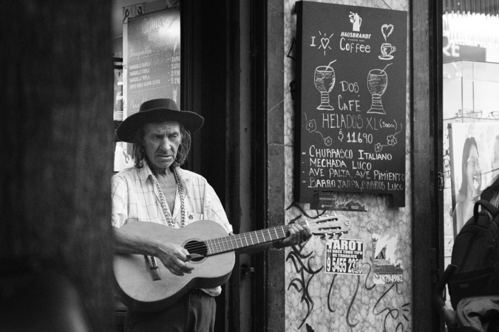
Santiago street art, the cats seriesSantiago street artStreet shots in Santiago Photo by Leo 🙂Evening light on the cathedral
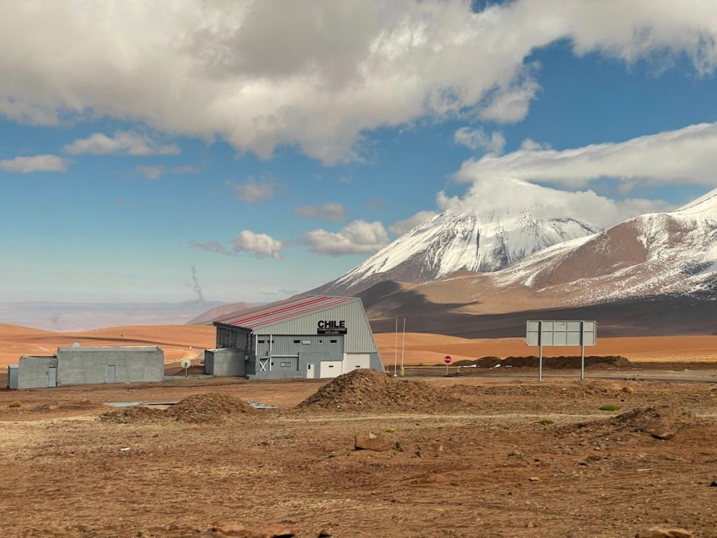
And thus we reached San Pedro de Atacama, in Chile, just 40 mins by bus after the Bolivian border.
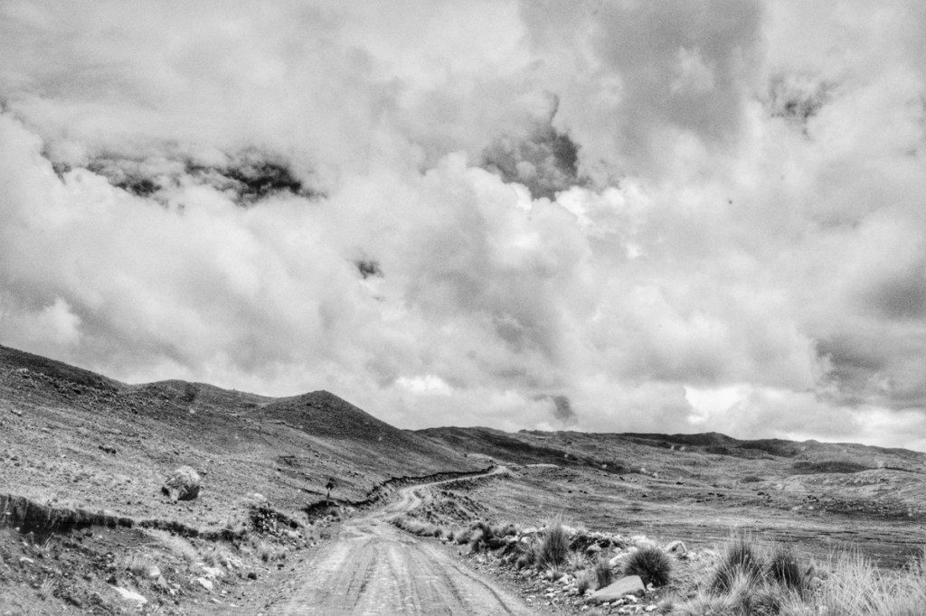
From Bolivia to Chile we just had to get around the Licancabur volcano. But the Bolivian side is about 2000 meters higher than the Chilean side. We were freezing in Bolivia, wearing 3 layers of clothes. Driving down to Chile, the temperature rose to 35 degrees by the time we reached the Atacama desert.
The brutal rise in temperature was only comparable to the brutal price inflation! There we were in South America’s most expensive country. And in that country, probably in the most expensive village! We inquired about some tours in the area but everything was outrageously expensive and most of it are parts of the Uyuni tour we just did, sold in Chile at 3 times the price. Same with accommodation, so we thought we’d just head out of there quickly and continue our bus journey to Santiago.
Then we realised that flying from Calama to Santiago 3 days later would take 2 hours and be cheaper than the 25 hours by bus. So Mary found an airbnb a bit out of town. The place was only available for one night and we thought we’d have to go wait for our flight in a gloomy hotel in Calama.
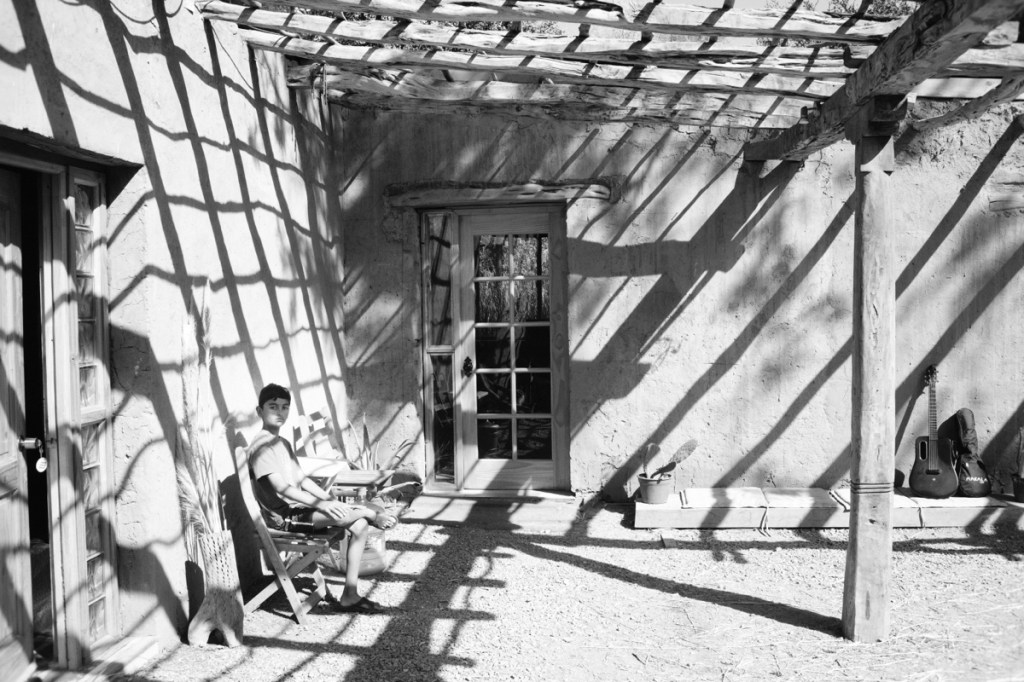
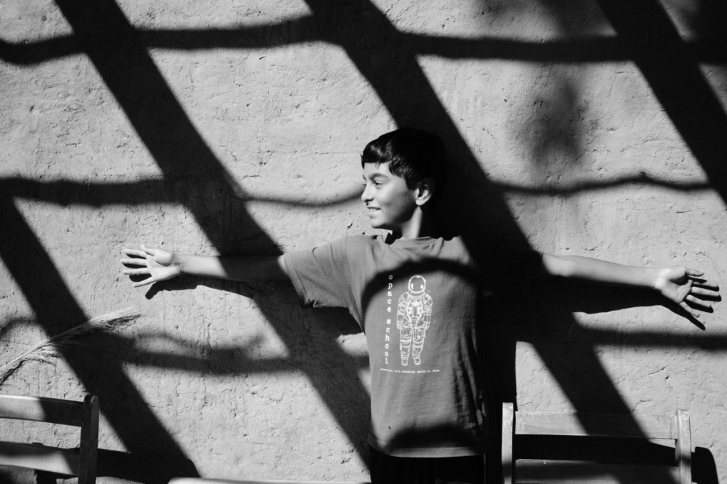
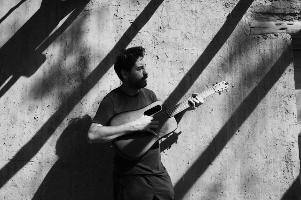
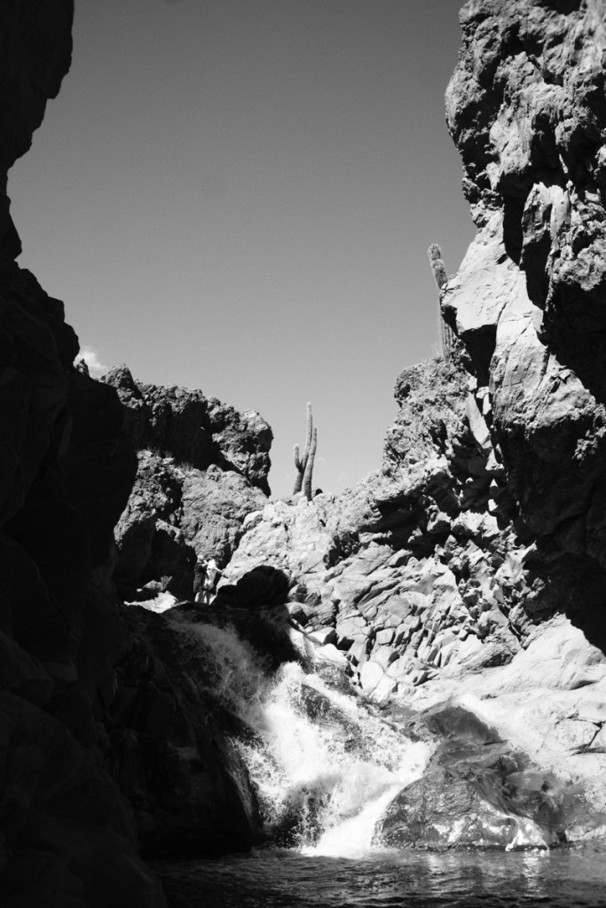
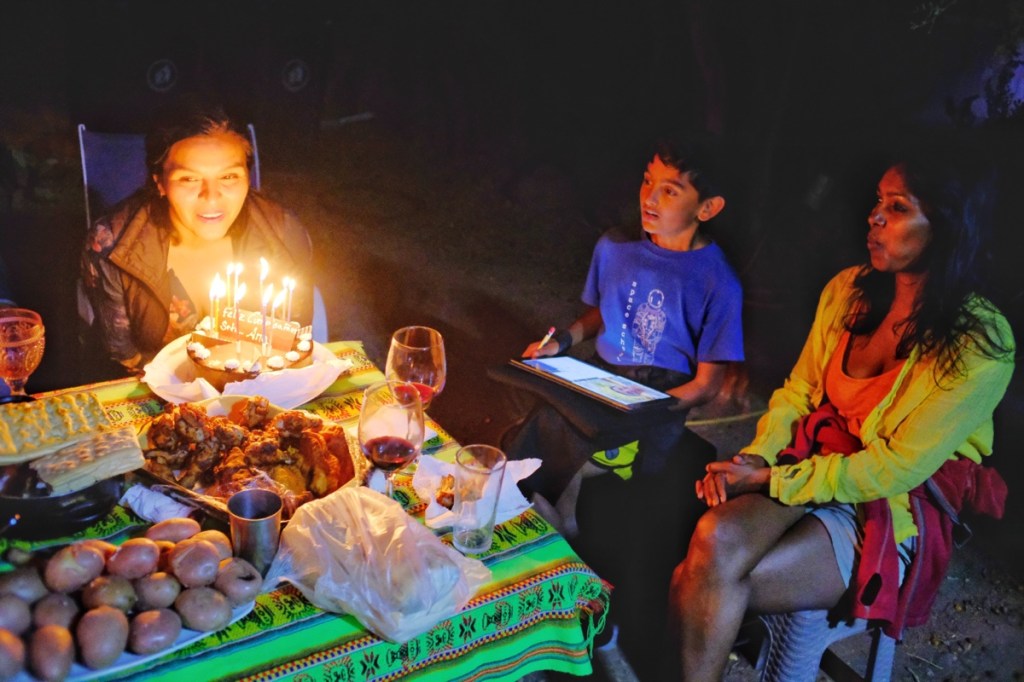
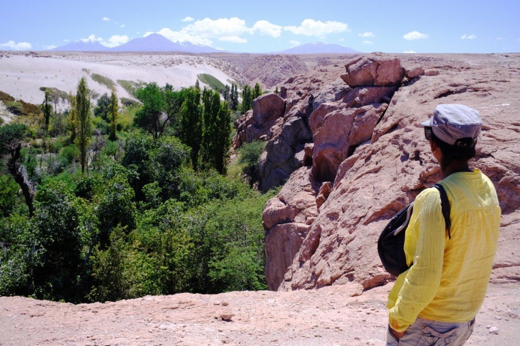
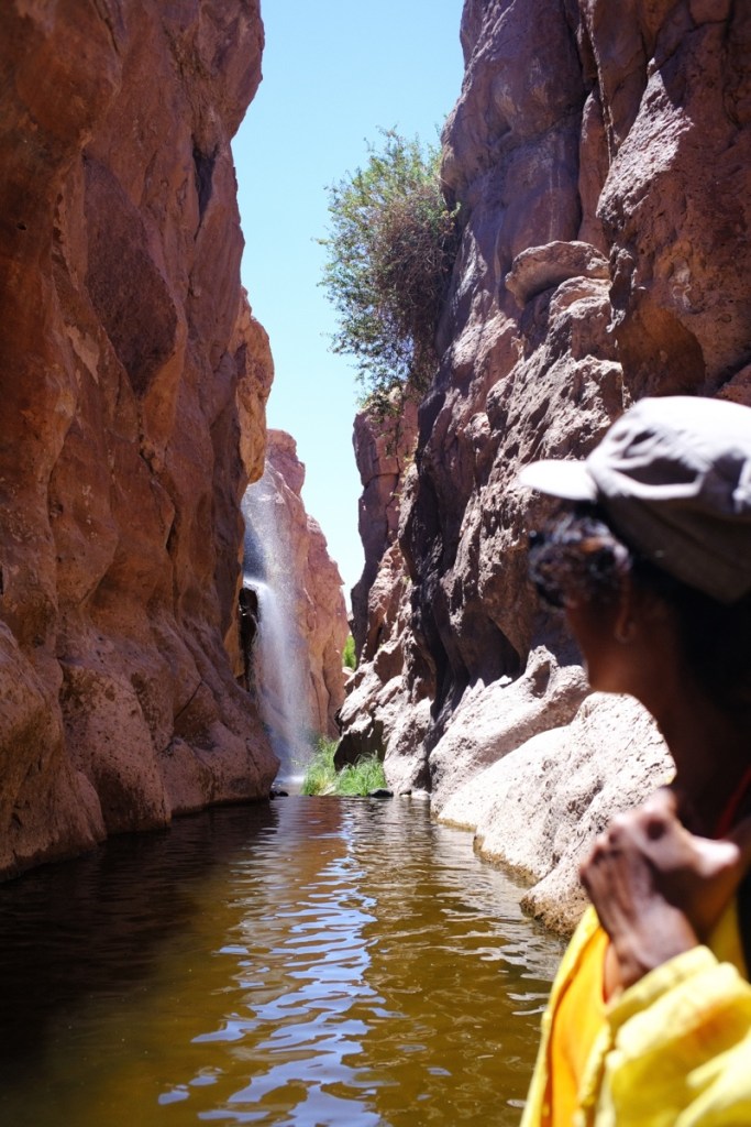
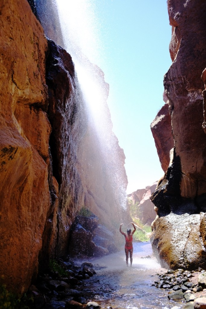
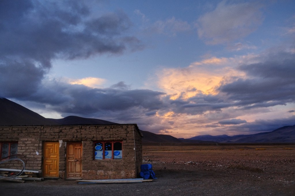
Ana, our airbnb host turned out to be super friendly, had a beautiful traditional house, managed to accommodate us for all 3 days and even suggested some nearby places we could go to without booking a tour. So in the end we had a wonderful time in San Pedro. Leo befriended Franco, her 19 year old son with whom he played chess and cards. He even helped them with construction of their new house. And we celebrated Ana’s birthday with their friends around a barbecue. And we swam in nearby rivers and waterfalls! (Yes, in the desert!)
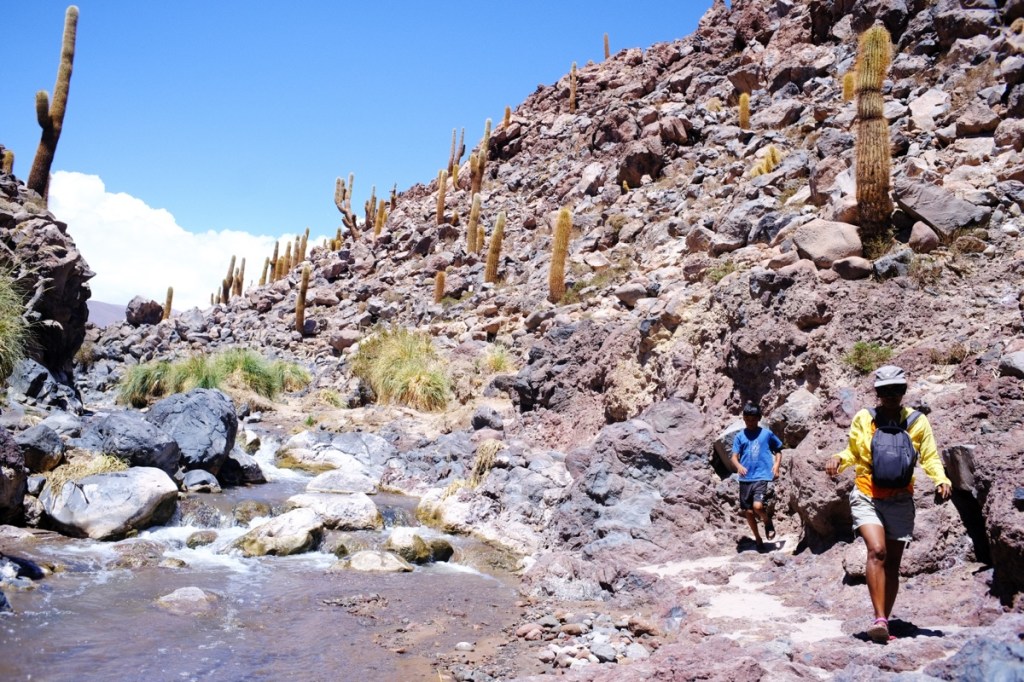
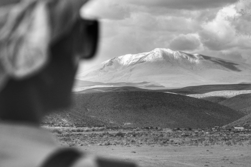
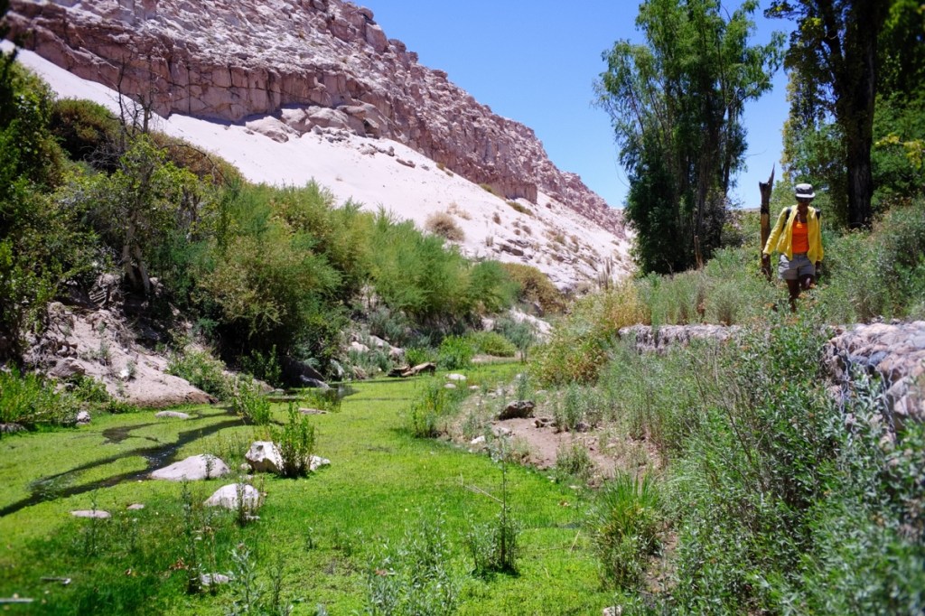
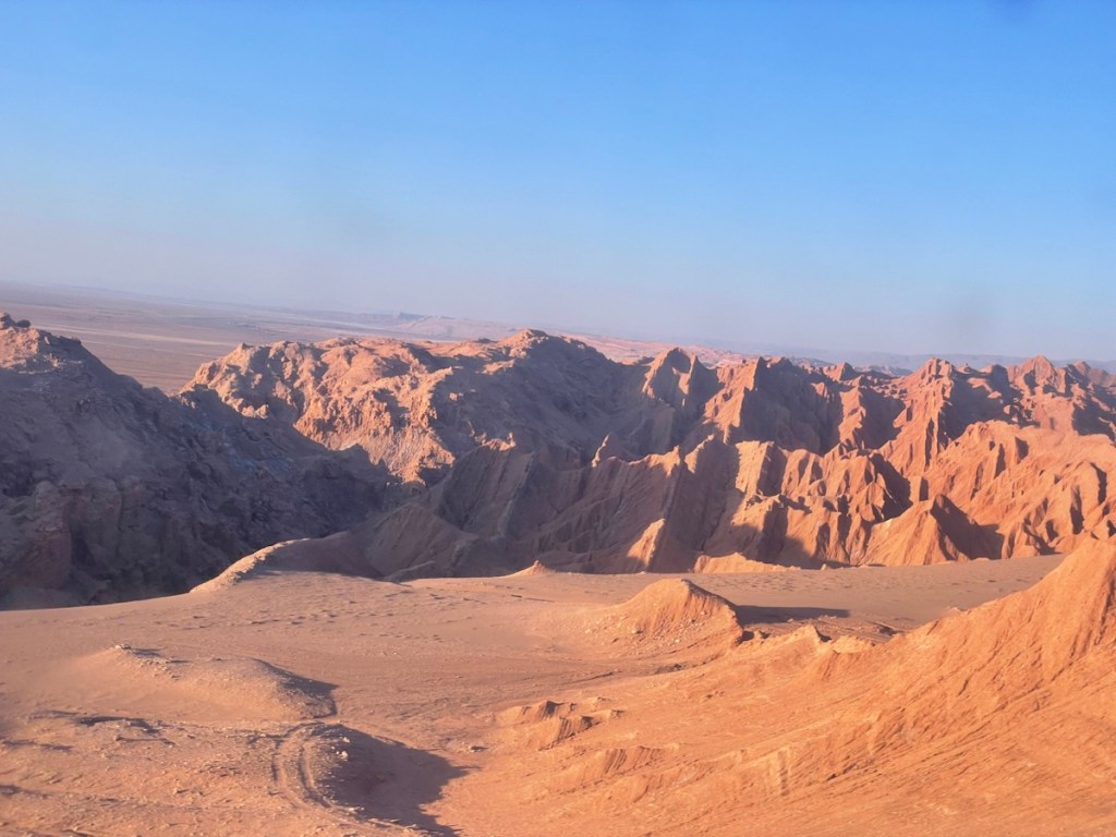
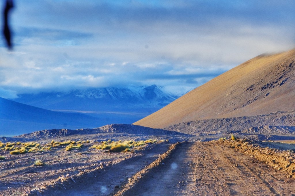
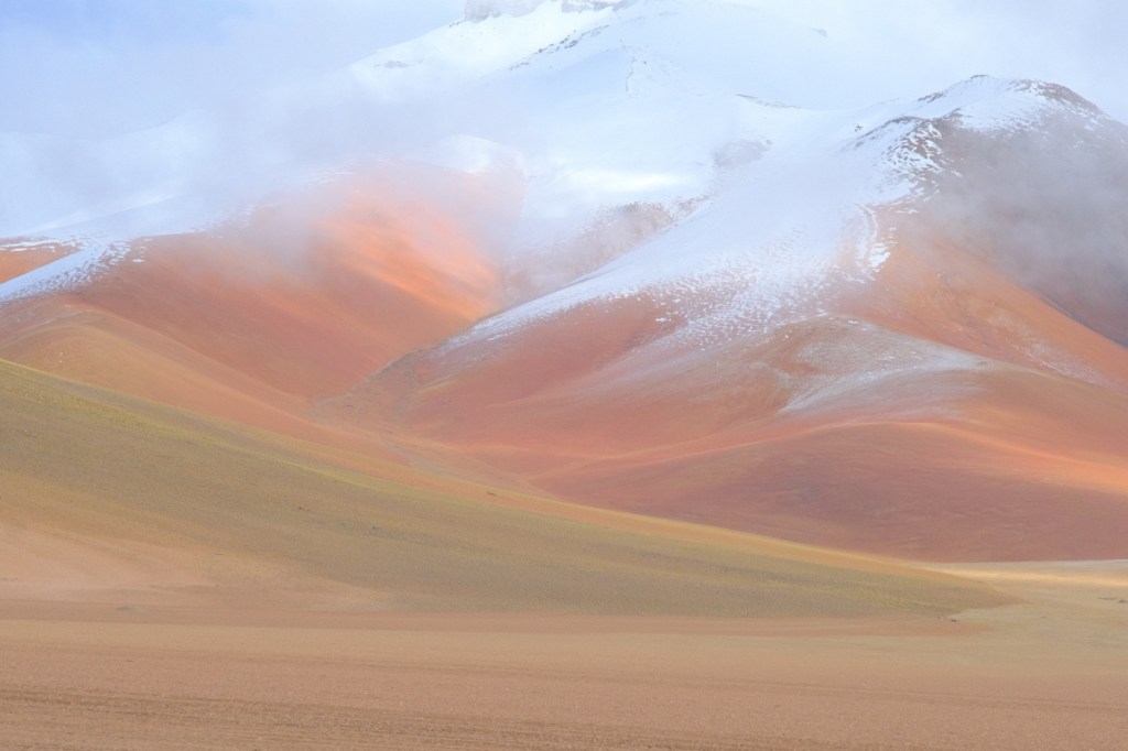
The most fascinating thing about the local scenery is the arid desert surrounded by the snow peaks of the volcanoes! At times, the canyon walls would remind us of the « Narrows », in Zion national park!
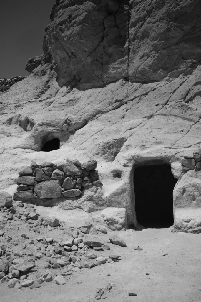
Snow peaks over the desertAna’s houseLeo helping with the construction The valley of cactuses Desert waterfalls!Mary admires the snow peaksDesert roadCelebrating Ana’s birthday Entering the Quebrada de JereTroglodyte housingQuebrada de JereStrongest water pressure in the area!Red rocks desert
We were picked up by our guide around 7am as we stepped down from our night bus from La Paz. He took us to a café, for breakfast, and a couple of hours later we were on our way to see the famous salar of Uyuni.
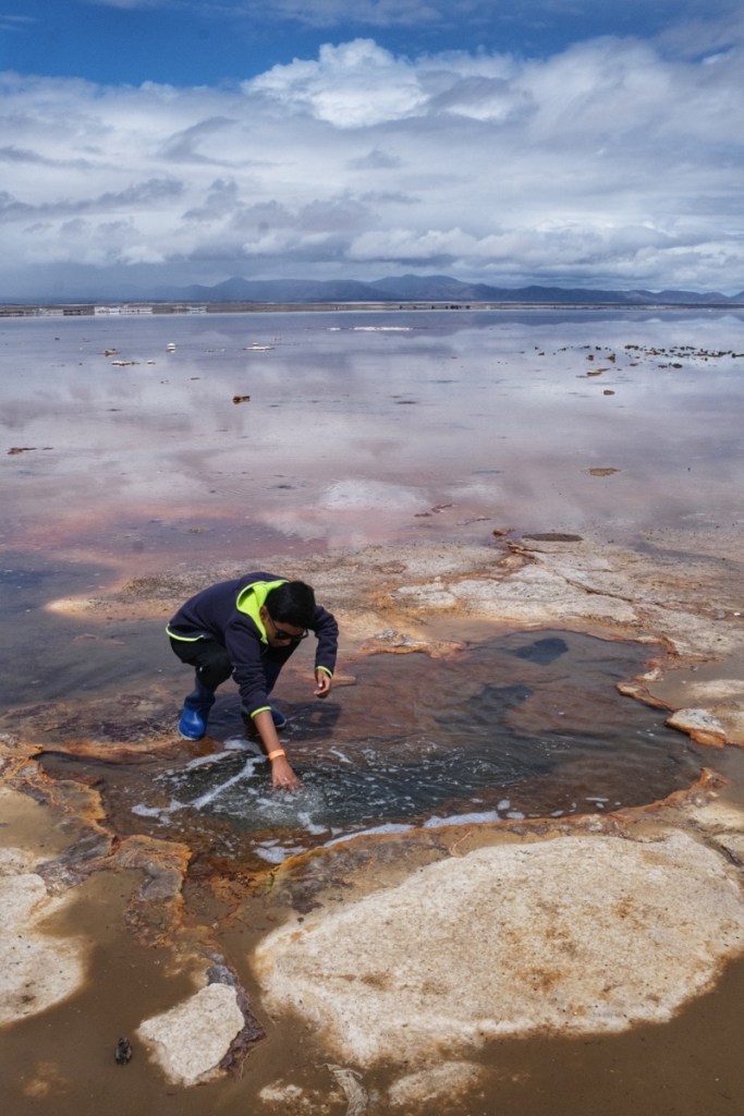
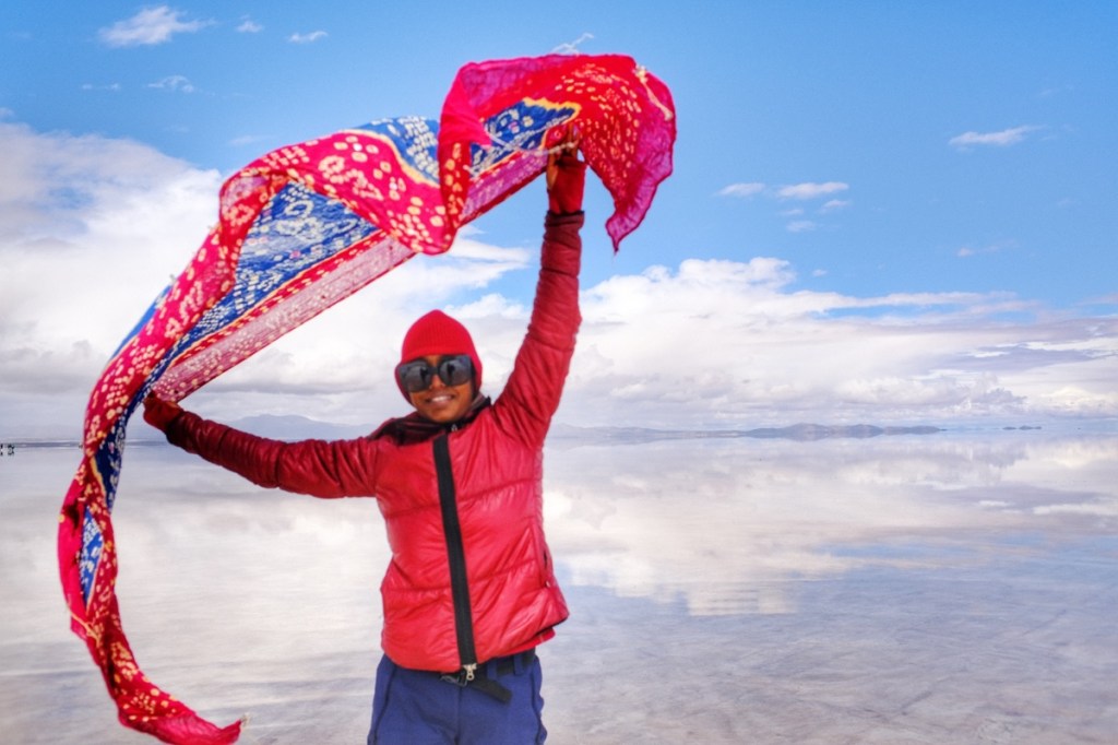
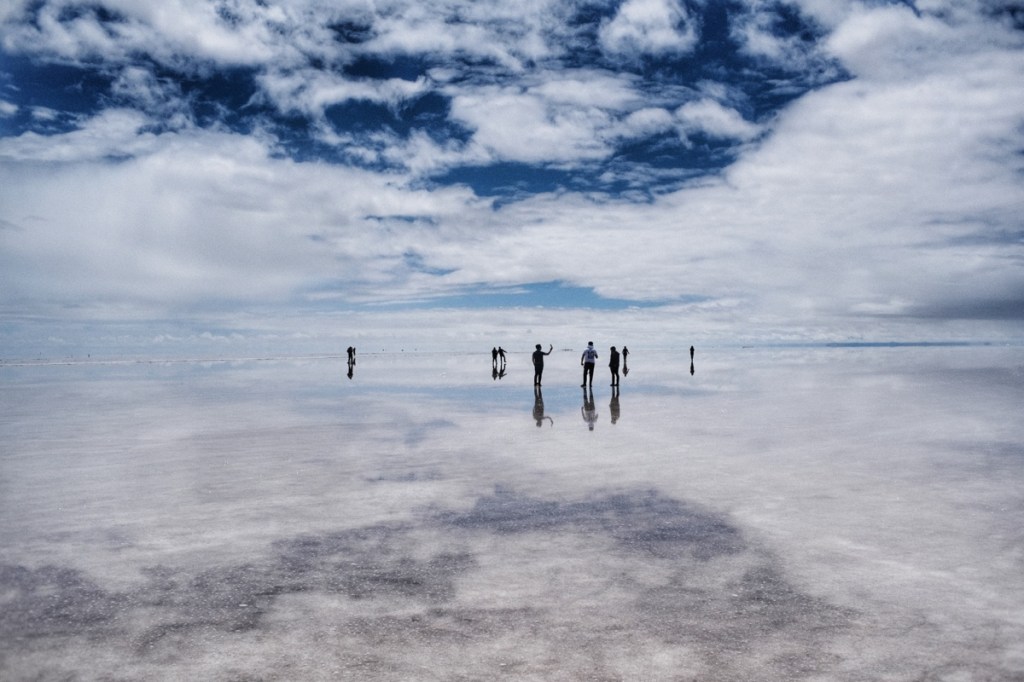
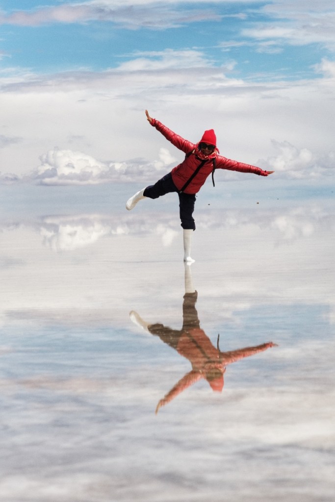
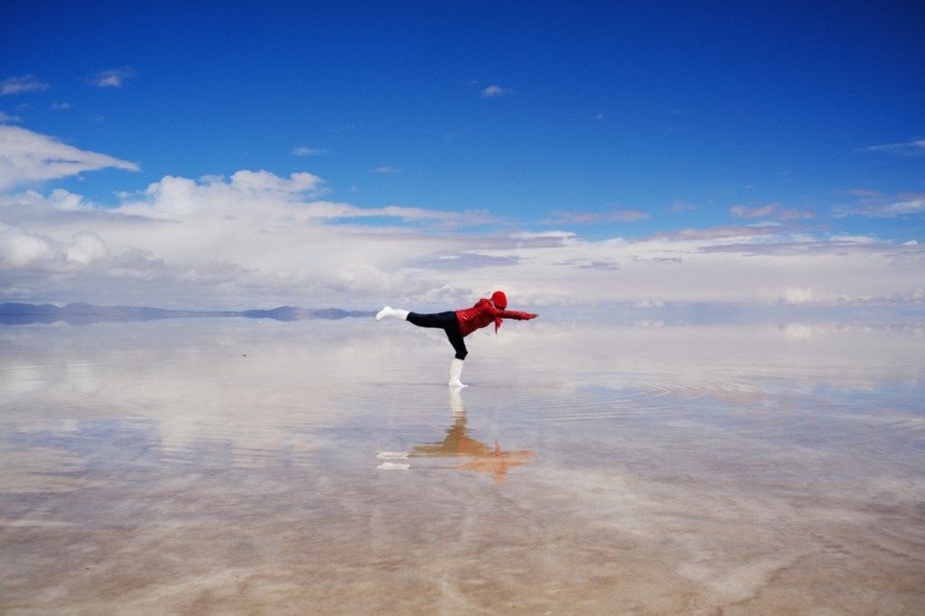
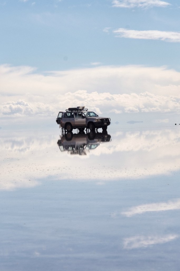
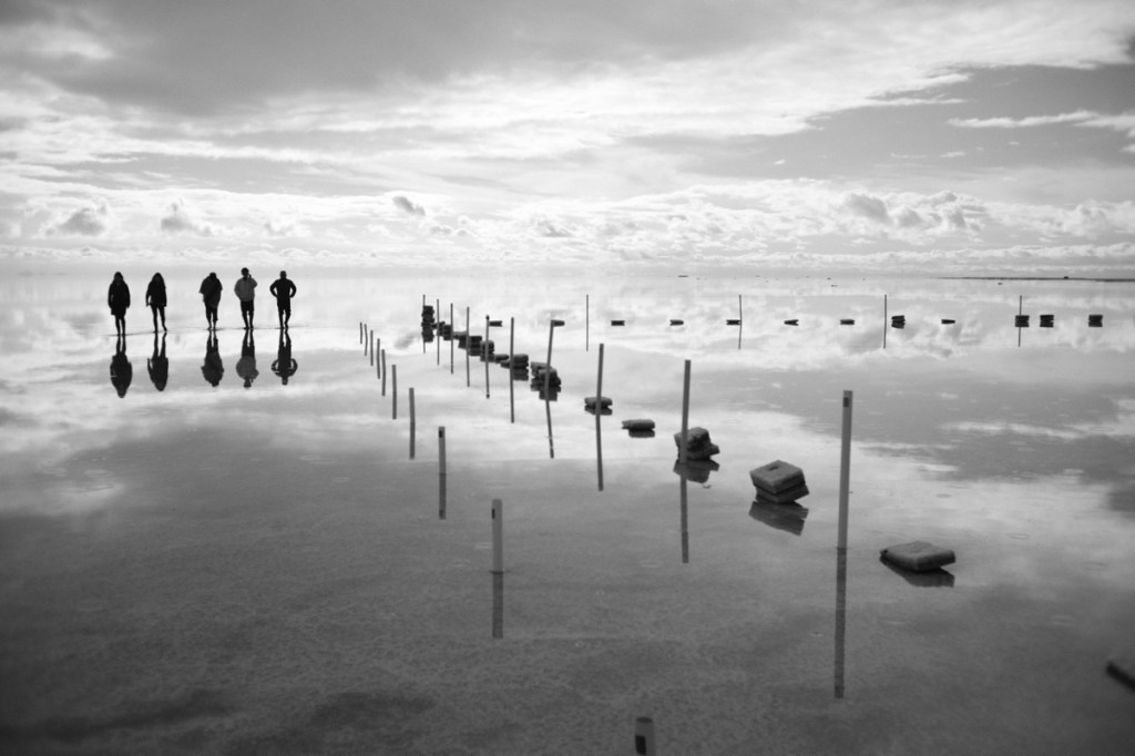
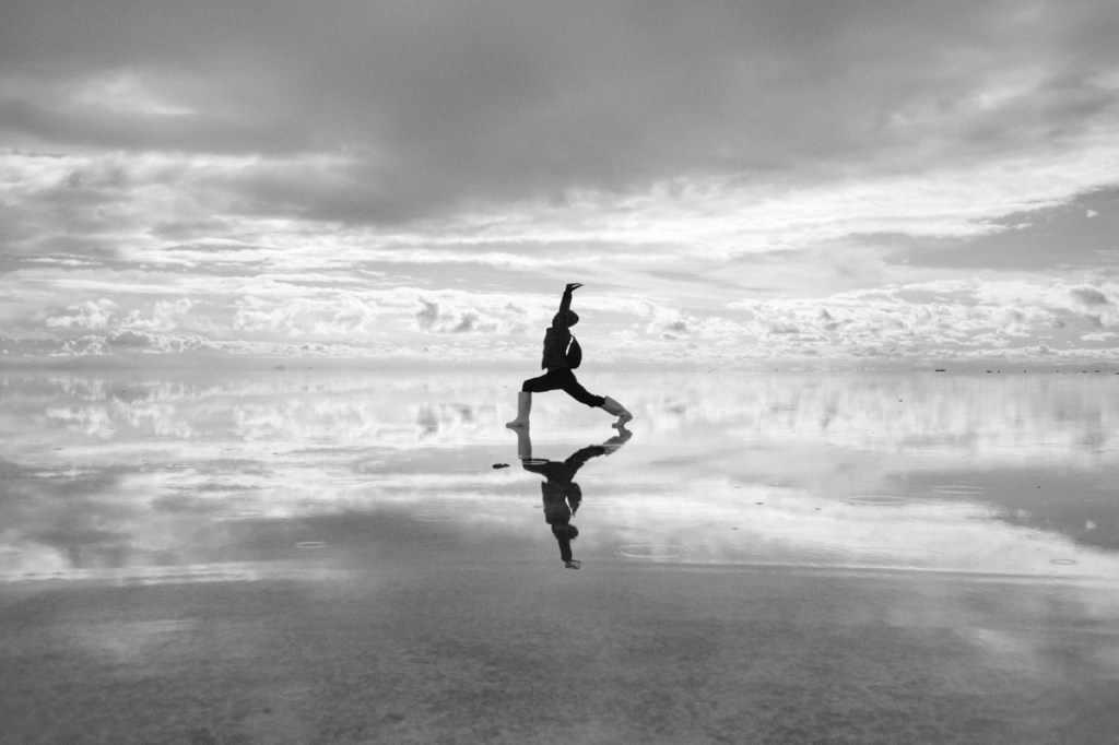
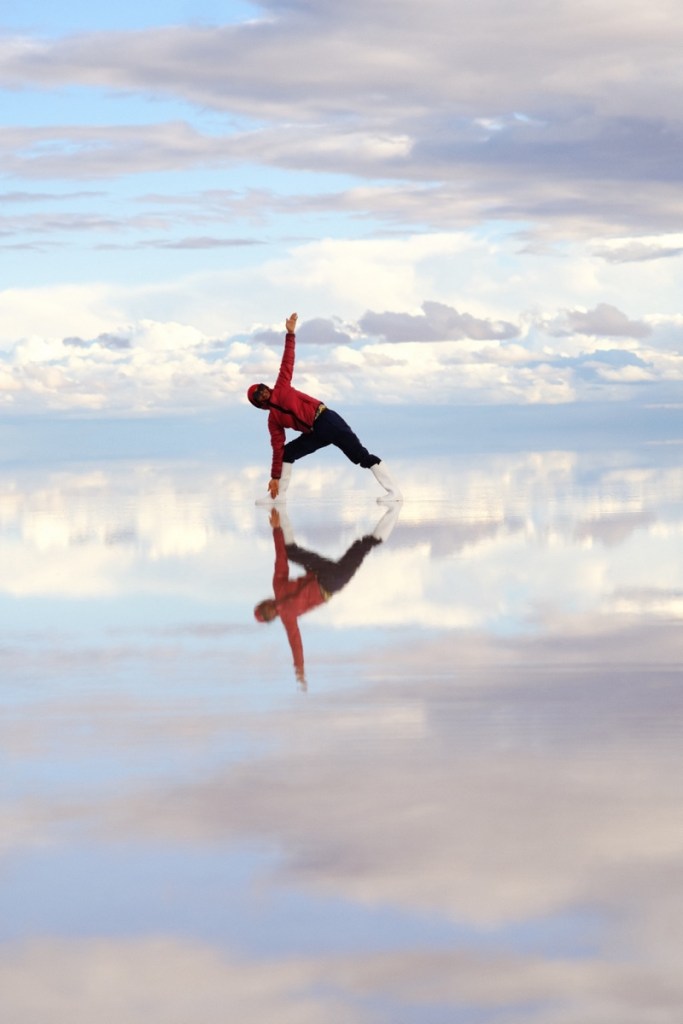
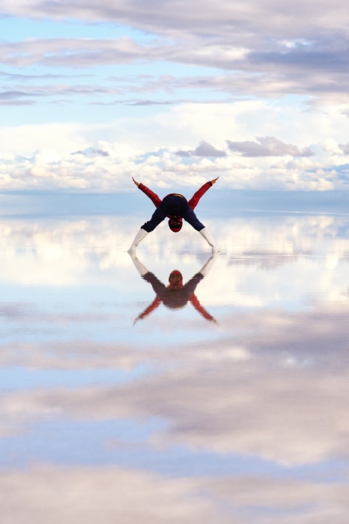
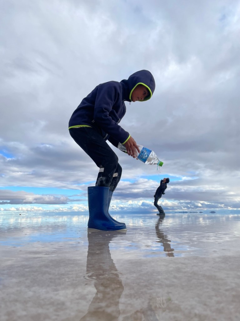
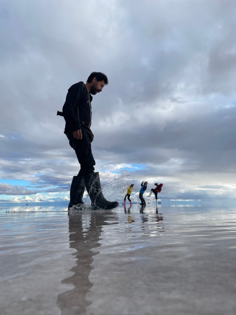
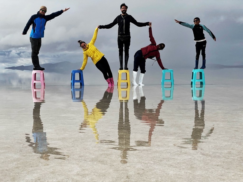
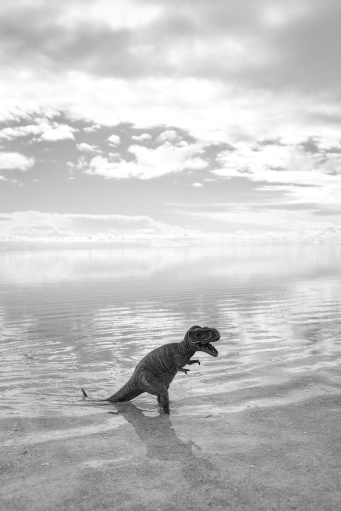
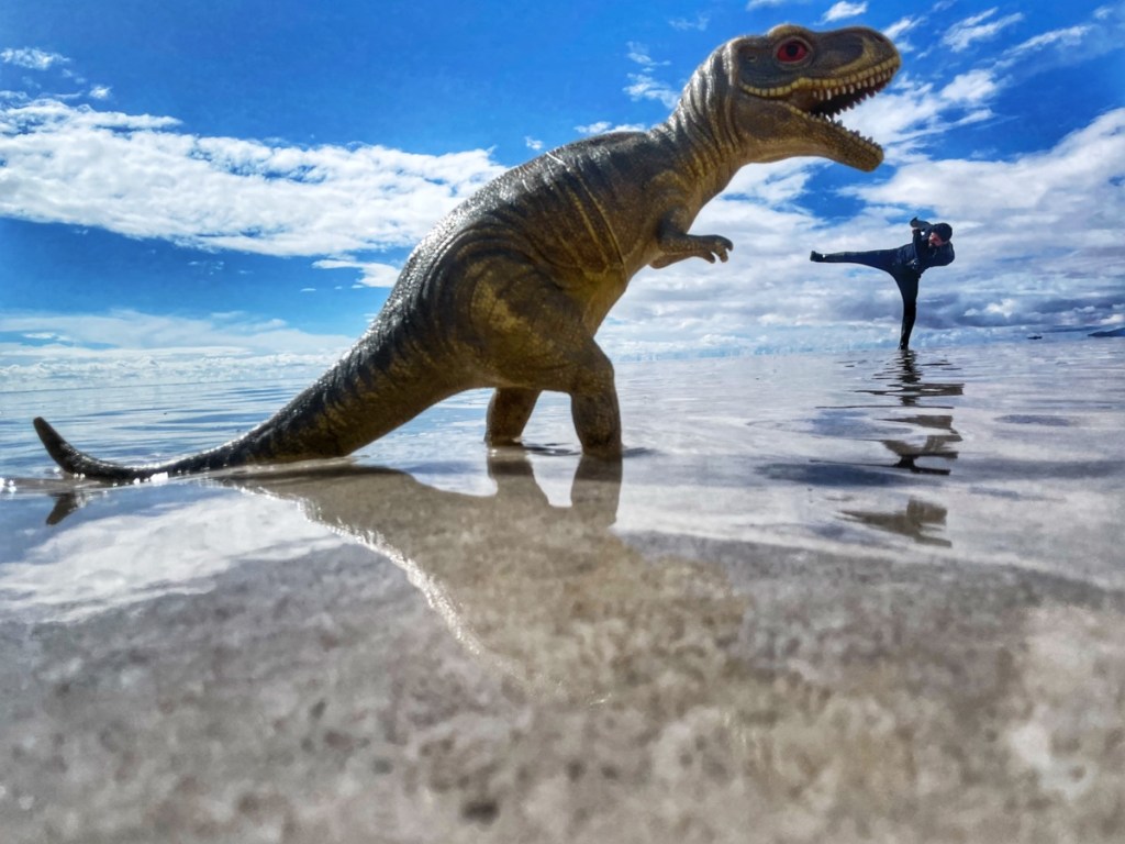
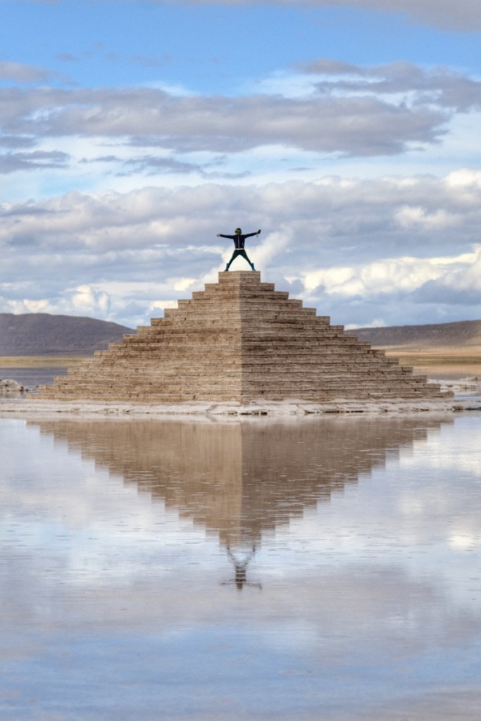
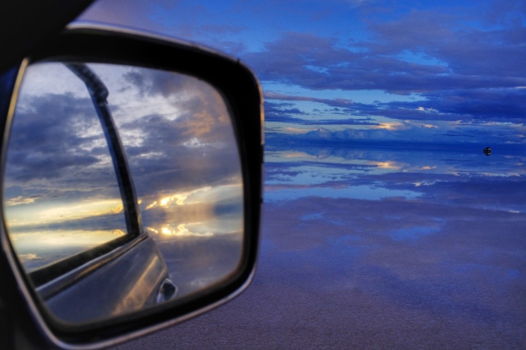
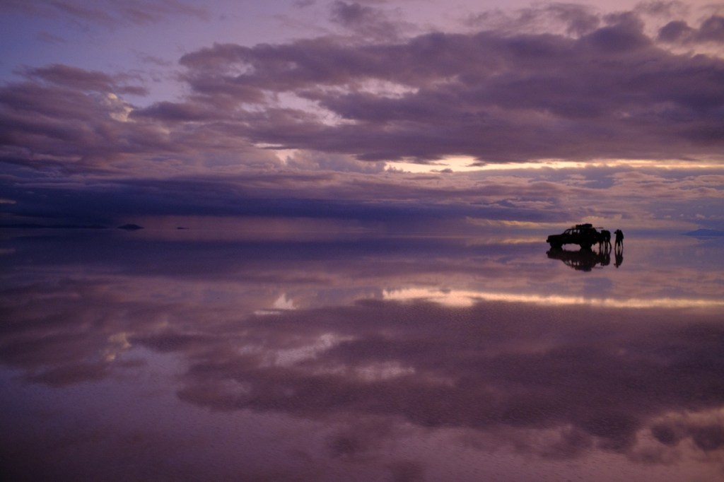
The salar of Uyuni is one of the highlights of any trip to South America. A salt pan of 200km2, 1km deep. Even Belgium could not use all of it on its fries 🤡. And with the rain, it turns into a gigantic 200km2 mirror reflecting the sky. There is no more ground; everything seems to be floating in the clouds. Feels like walking inside a giant kaleidoscope. Feels like walking in heaven!
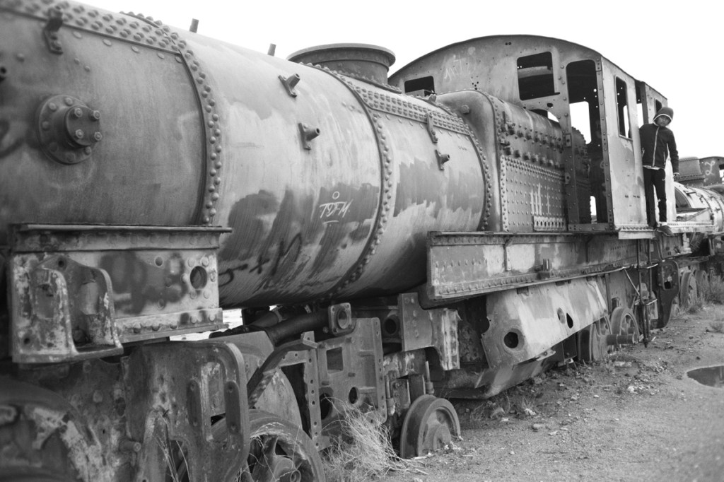
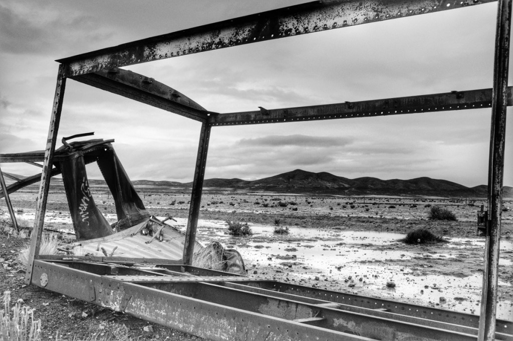
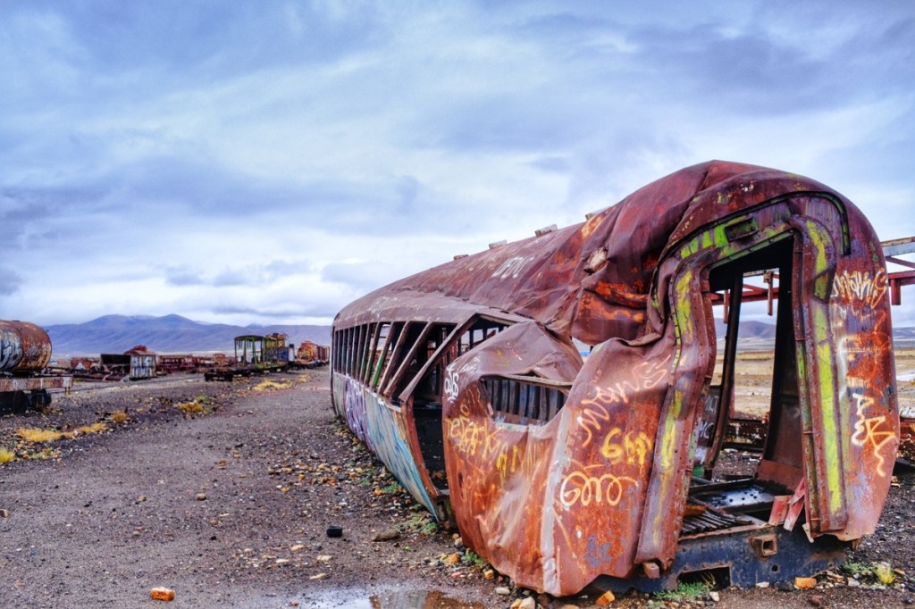
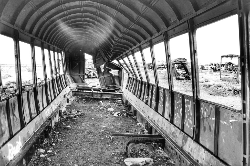
Before reaching the salar, we stop by the train cemetery. It’s an ancient repair area, abandoned some time after the pacific war, when the line to the pacific got shut. (It’s reopened now, but operated by the Chinese and going through Chile.. pretty hard to bear for Bolivians)
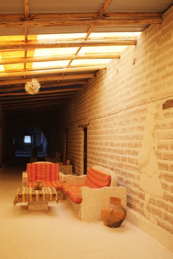
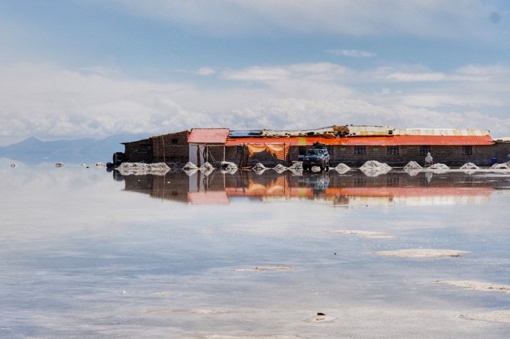
For lunch, and at night, we’re taken to hotels made entirely of salt blocks: the walls, the tables, the beds, the counters.. everything in is salt! It looks nice too, as the stratification creates alternative white and brown layers (for the wet and dry seasons)
It’s a tradition on the salar to make silly pictures, to play with reflections and the absence of perspective!
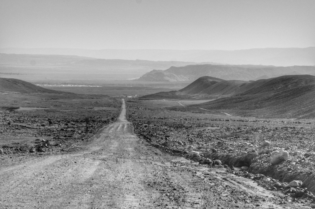
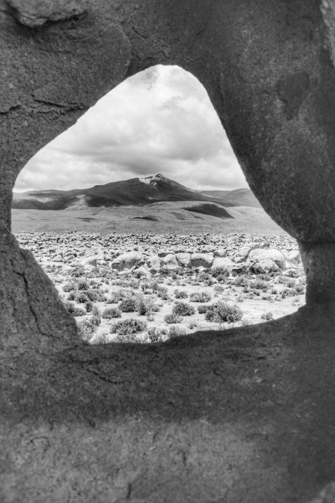
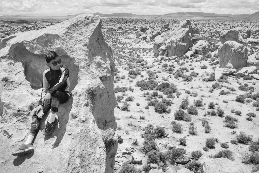
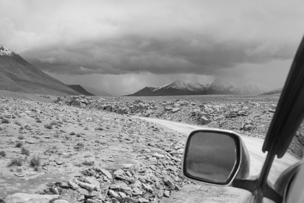
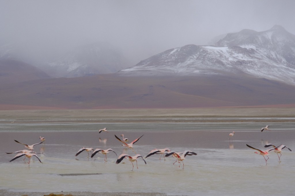
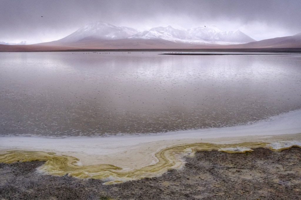
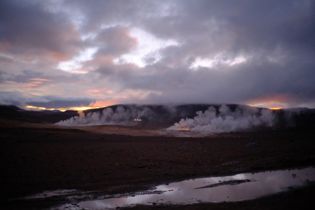
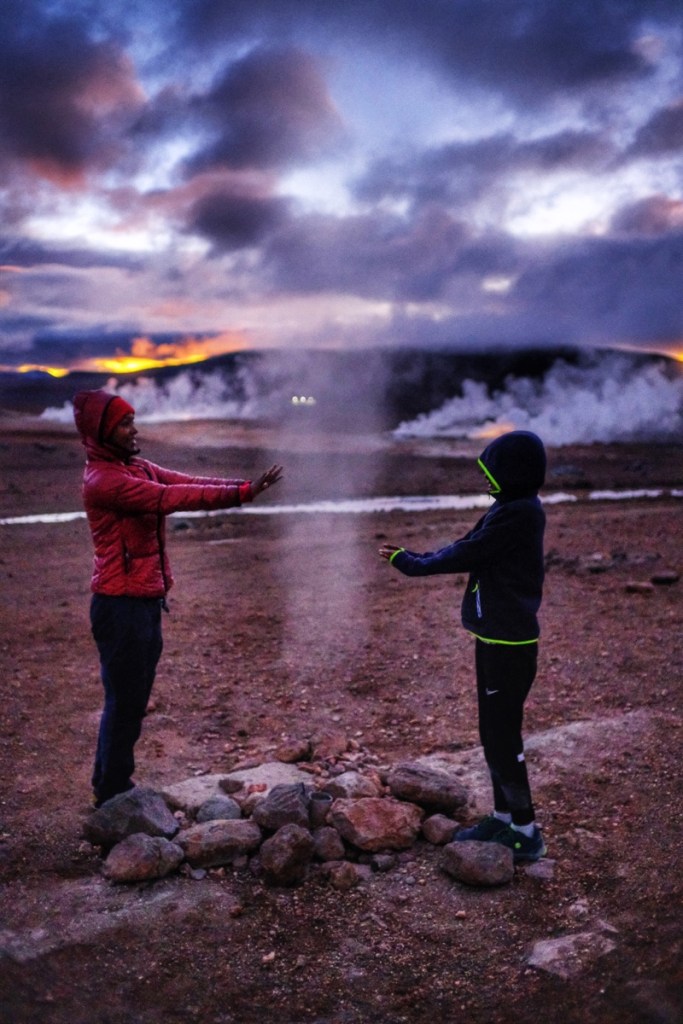
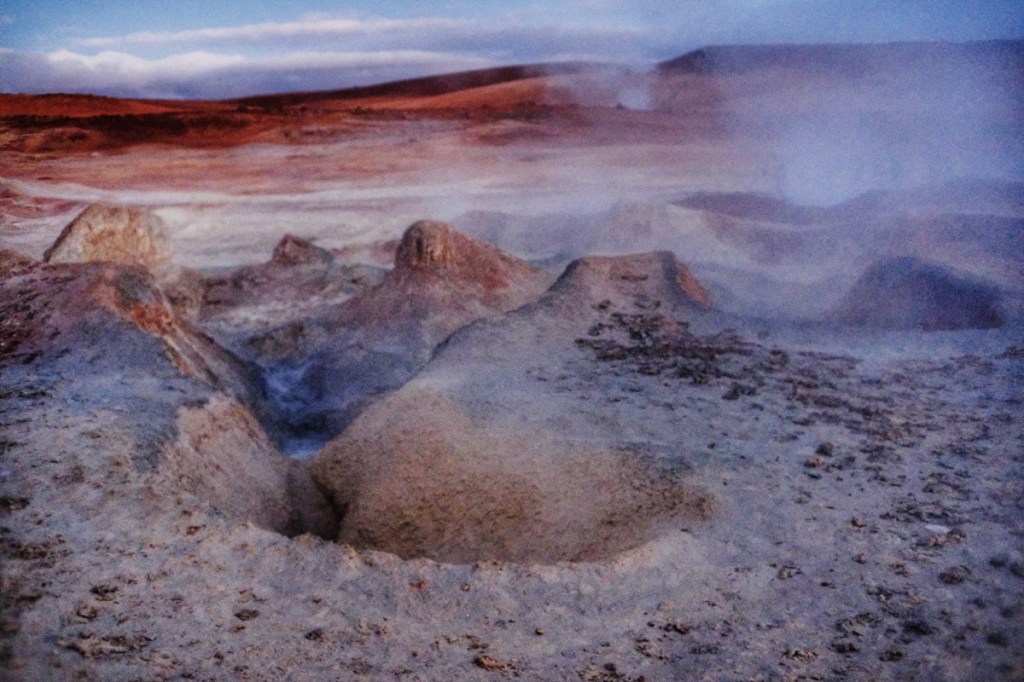
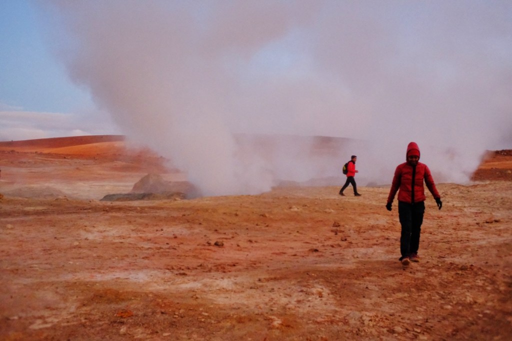
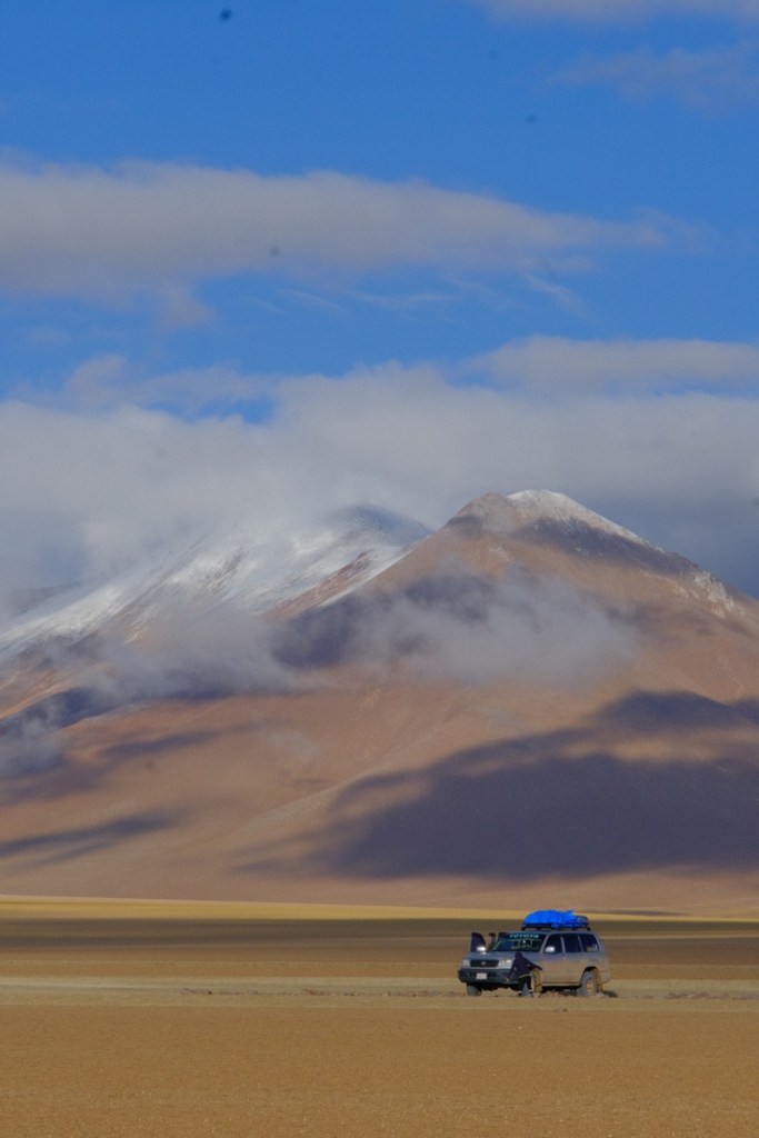
After the salar, we continue the tour for 2 more days in the 4×4, southwest to the Chilean border. It’s a volcanic region and the landscapes are breathtaking. We go through red rock deserts with lava formations creating beasty shapes, to snow fields 5200m in altitude, to coloured lagunas full of pink flamingos, to steam geysers…
Well, the original plan was to cross to Chile directly at the end of the 3 days tour, but we were discouraged to do so because the border is in high altitude and probably closed because of the snow. So we thought ok, we’ll return to Uyuni. Then on the last day when we reached the border, it was a bright sunny day and the driver said we were just 40 mins away from San Pedro de Atacama, so we switched back to the original plan and we left beautiful Bolivia just there, after barely a week in the country.
Leo was pretty sad though, because we had to skip bathing in the hot springs
The gargoyle The old man yelling to the cloudsThe tree rockHot steam geyser in the cold morning We walked on mars!Just passed the Chilean border
The 2 and a half hours bus ride from Copacabana to La Paz took over 5 hours as the Tiquina pass -which the bus has to cross on a barge- was to windy and dangerous. We reached La Paz in the night, pretty tired, only to find out that the room Mary had booked in a hostel had been taken by someone else! So we ended up in a shared room with bunk beds, with our french travel companions.
The weather in La Paz kept changing from rain to sun but in spite of what some people had told us about Bolivia and its capital city, we had a great time there.
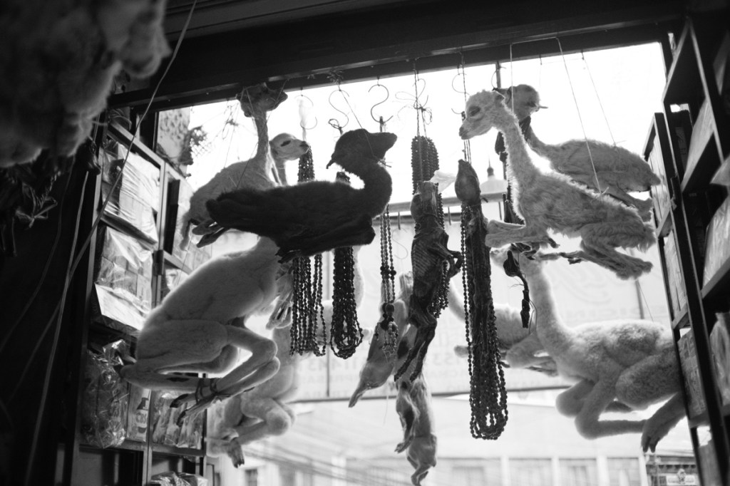
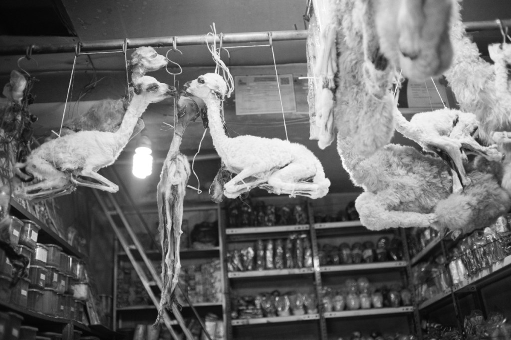
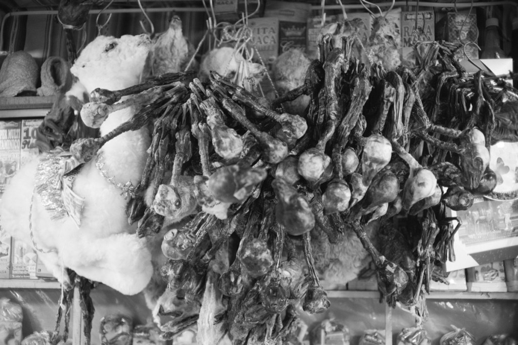
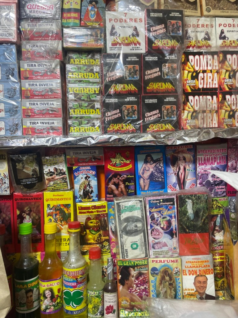
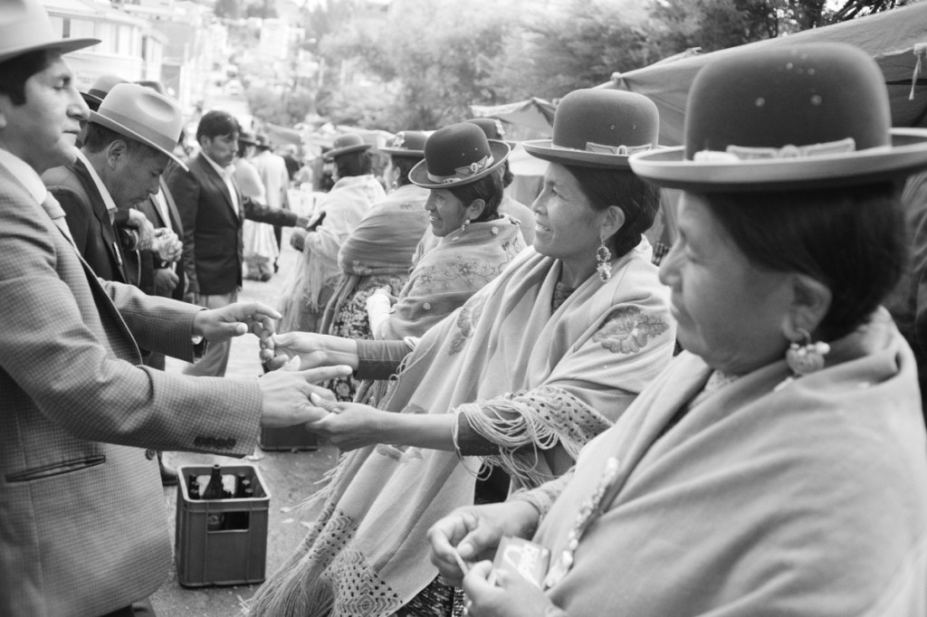
We went visiting the witches market where they sell dried baby lamas (😱) -supposedly lucky when you burn them 🫣- and all kinds of lucky charms and sensual perfumes!
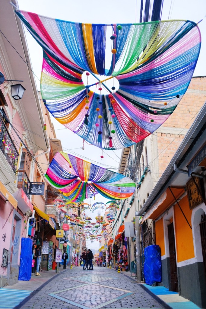
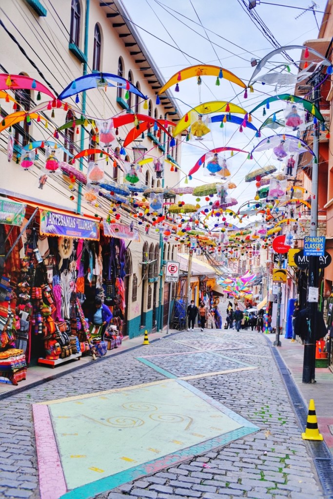
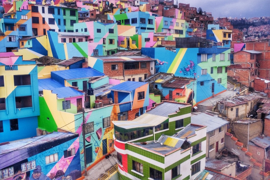
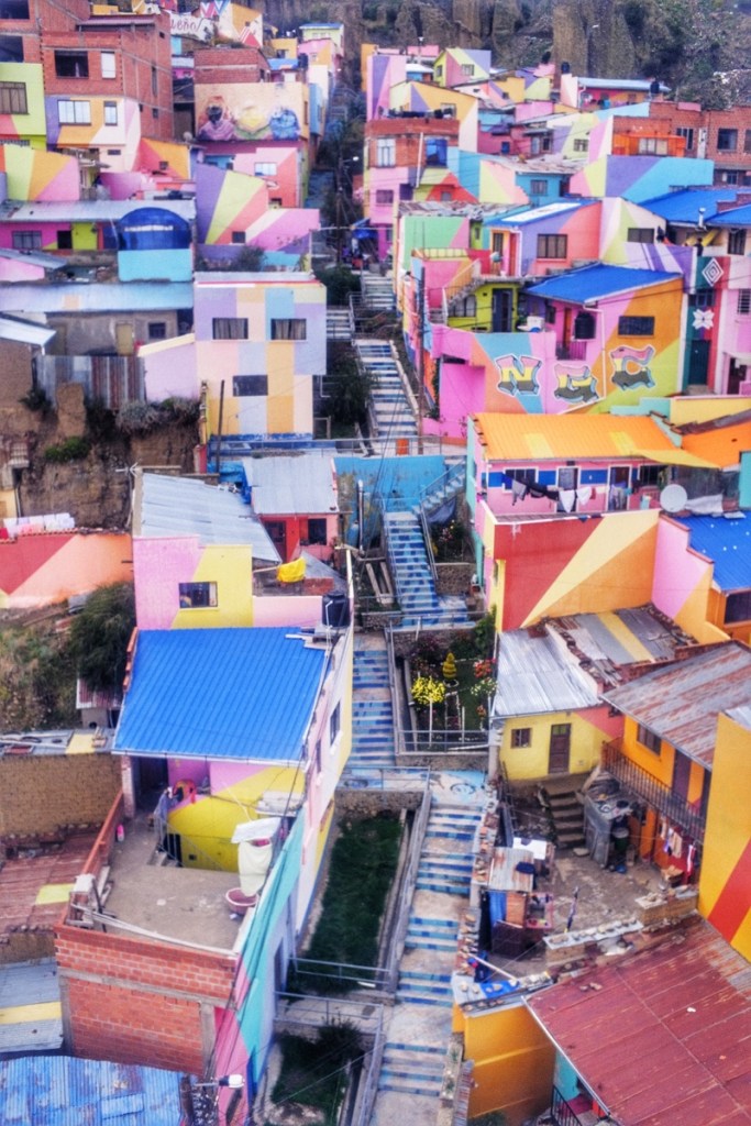
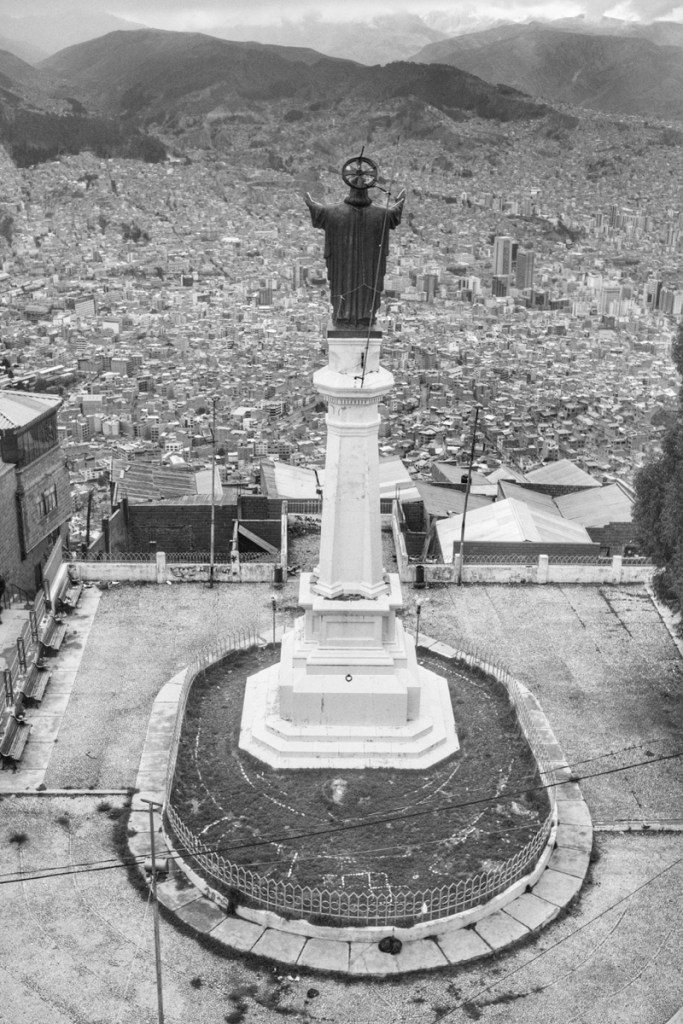
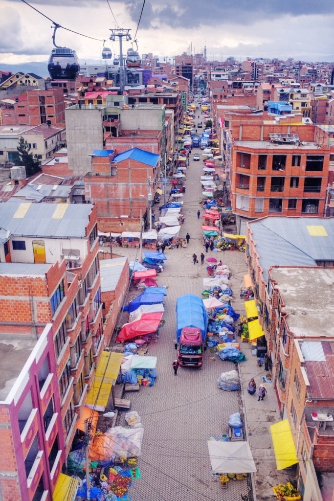
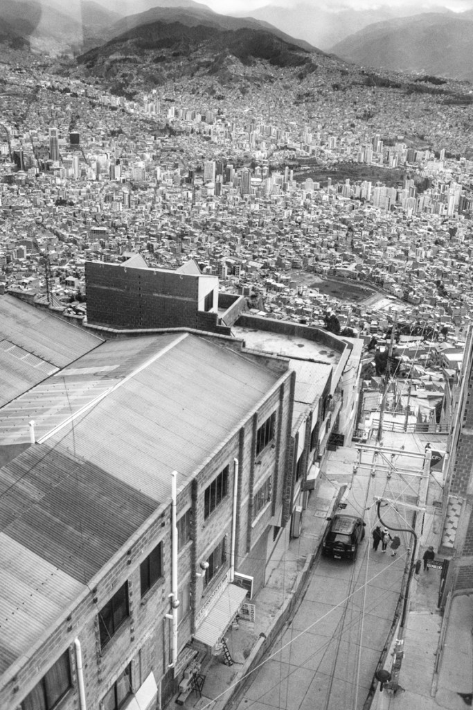
We also did the -now traditional- cable car tour overlooking the giant city, notably the colourful Bario Alto.
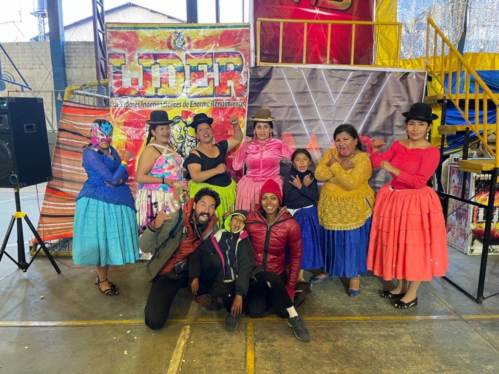
Last but not least, we went to see a Cholitas match: female wrestling in traditional bolivian attire! Of course awfully fake but very entertaining! By some strange malediction though, my memory card got corrupted and all my Cholitas pics are lost! 😭 (the card seems to work fine since then, but it scares me that it might happen again!)
My plan was simply to continue to Uyuni by bus and book a tour to the salar from there, but Mary insisted that the tours booked from La Paz were more reliable, so we did that and booked from our hostel.
I had once told Mary about how fancy and comfortable the buses in latin america were, from my travel experience in Argentina. But since Mexico down, we’ve only seen basic -uncomfortable- buses. This time it was different : our night bus from La Paz to Uyuni was a proper, spacious, two-stories, comfortable « semi-cama » and with a wifi connection that worked for at least 20 minutes! I had not dreamt, they do exist.
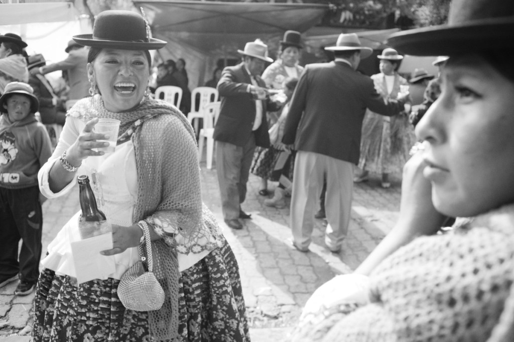
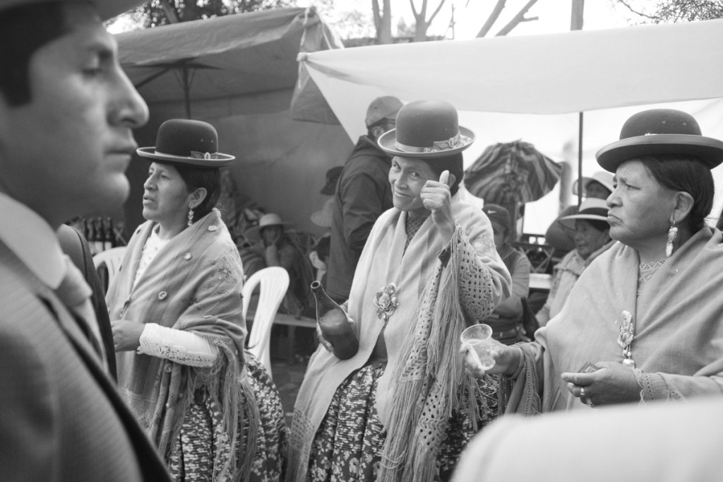
Colourful streets of La PazAt the witches marketThe famous pic by Inge Morath in NYC, 1957La Paz street artLa Paz street artLa Paz street artLa Paz street artBario alto from the cable carPosing with the Cholitas!
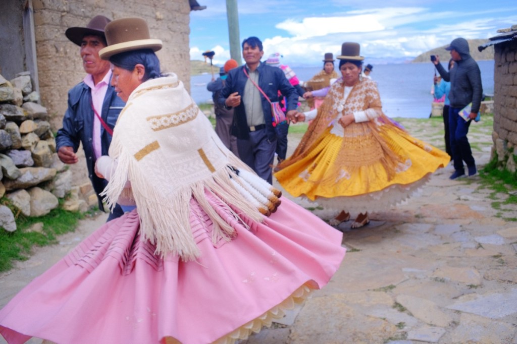
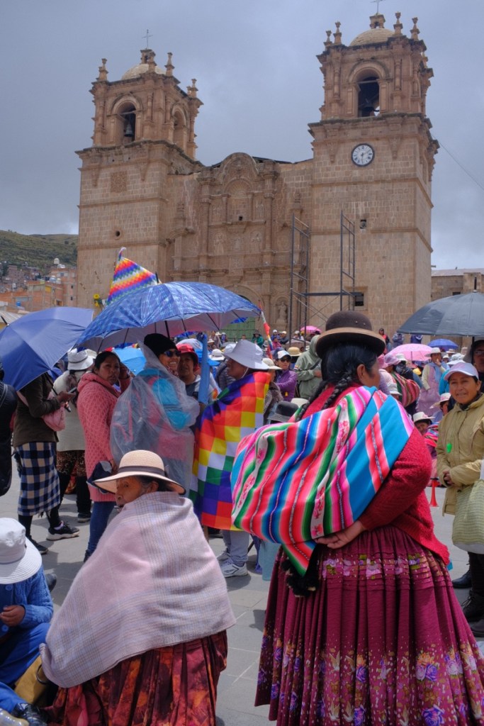
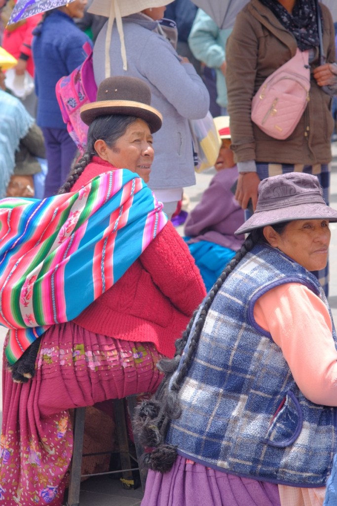
Arriving in Copacabana after Peru had a strange taste of newfound freedom. The festival of the Candelaria, normally much bigger in Puno, is also celebrated in Copacabana and in all the region, and this year it was much more joyous and colourful on this side of the lake. People were dancing and drinking in the streets throughout the day.
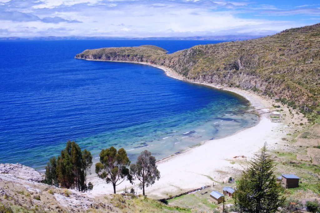
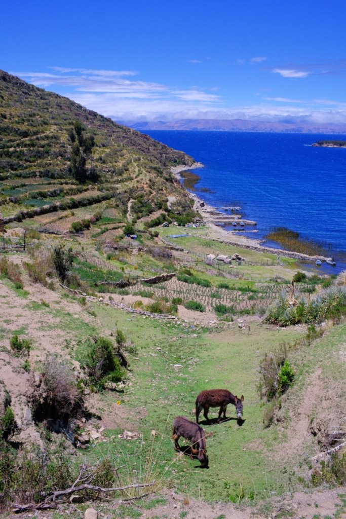
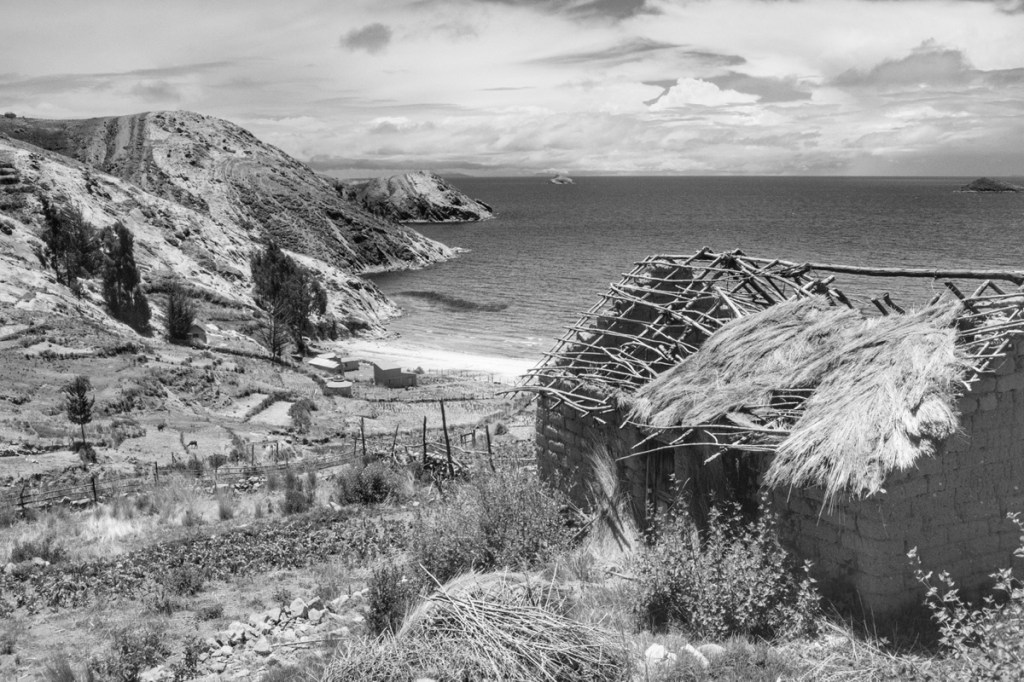
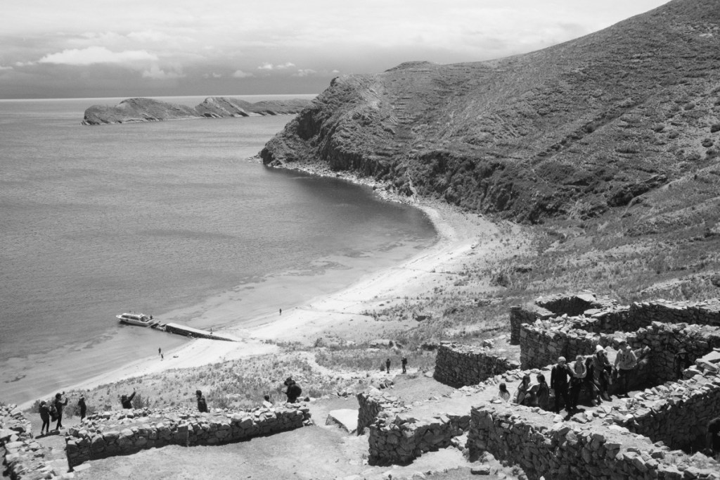
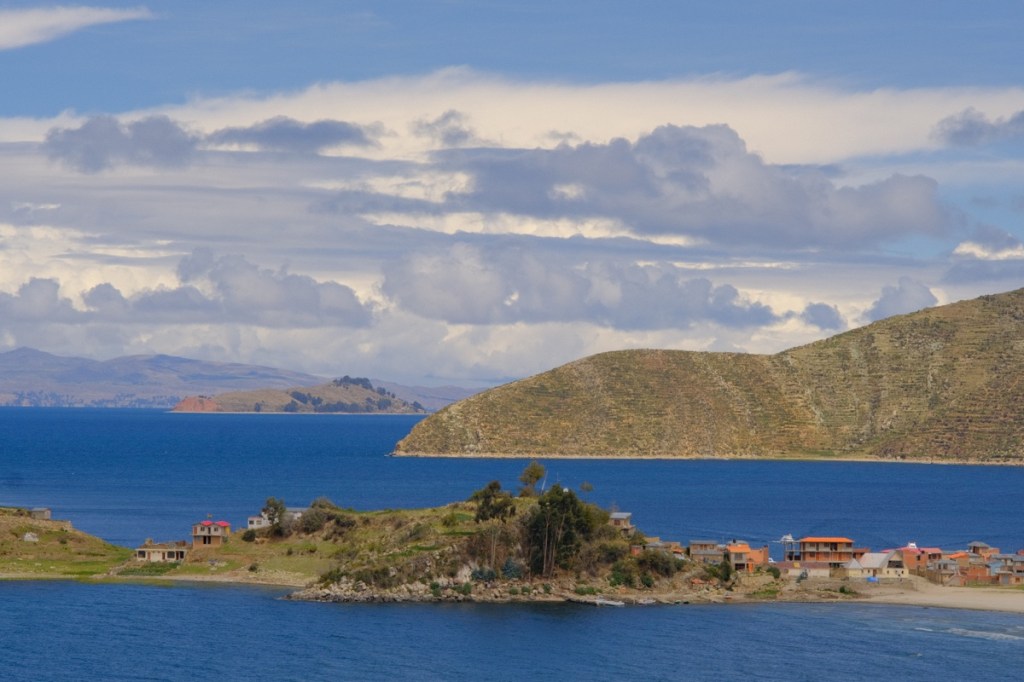
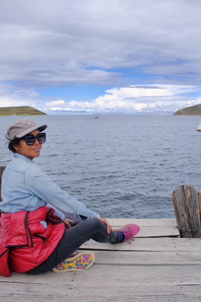
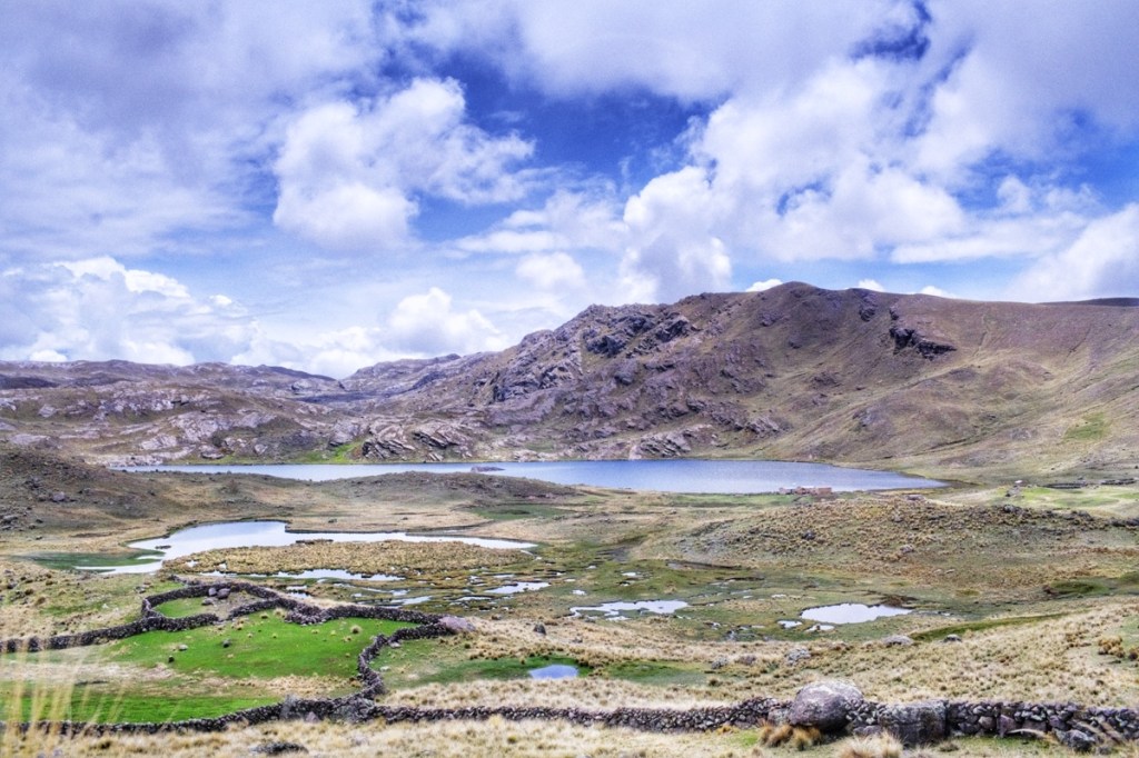
Copacabana is most famous as the gateway to Isla del Sol, the biggest island on lake Titicaca, with ruins of pre-inca temples and unexpected white sand beaches on the lake.
On the way back to Copacabana, we stopped at a (cheesy) floating village where Mary had a delicious trout freshly pulled out of the lake. After that, the wind started to blow so hard that the boat could not continue. We had to offboard and wait for a shuttle to take us back to town. We rushed and just made it to catch our bus to La Paz.
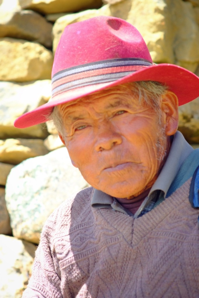
Dance parades in Copacabana Pédalo on lake Titicaca Pre-inca temple of the moon on isla de la LunaHouses on isla de la LunaSand beach on isla del SolRuins of the temple of the SunPortrait of a local guideMore dancing on isla del Sol
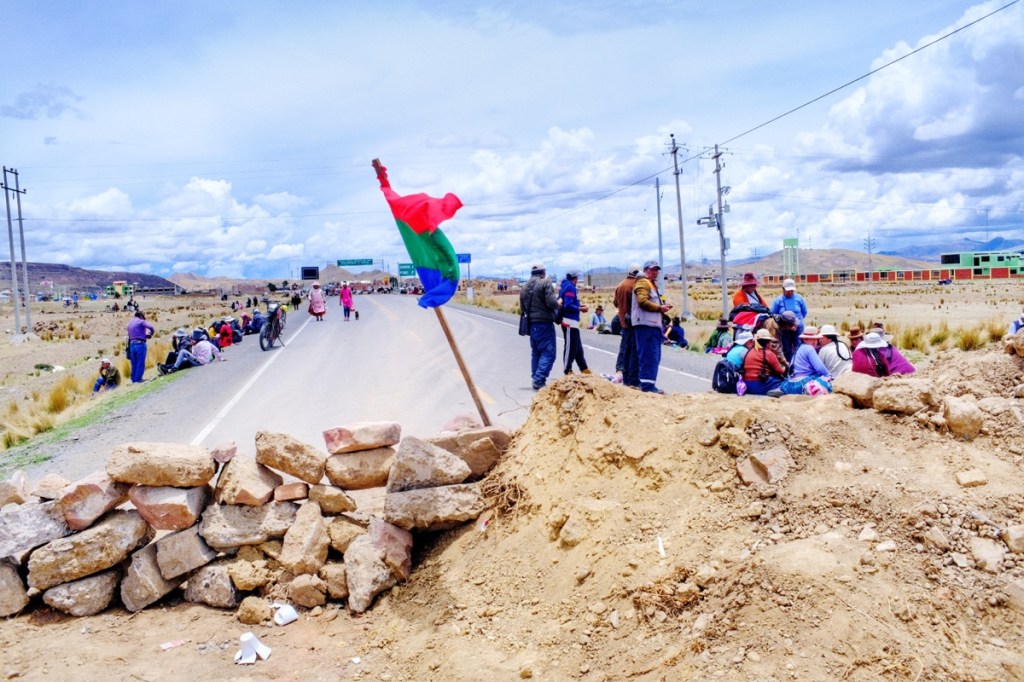
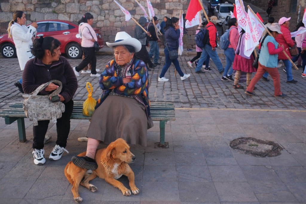
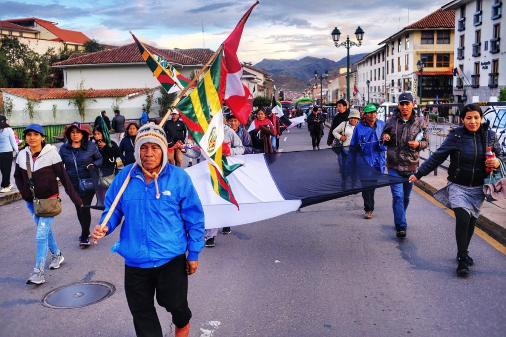
From Cusco we want to get to Puno, which is normally 7 hours away by bus, on the shore of the Titicaca lake. But we hear of protesters blocking the roads, and no bus is leaving in that direction. The bus terminal is deserted and most counters are shut.
We have to wait a few days more in Cusco. Everyday we try to contact bus companies but none is leaving.
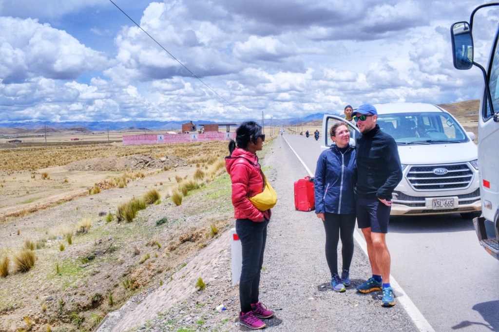
Eventually we find a nameless counter that advertises shuttles to Juliaca, an hour away from Puno; we can’t stay here forever, we take the chance. They charge 3 times the normal price and explain that the trip will last around 12 hours because they’ll have to get around the road blocks.
At 2pm, we meet our travel companions; Henry the driver, Celine and Antoine, a French couple, Jorge and Judith, a Peruvian couple. And off we go.
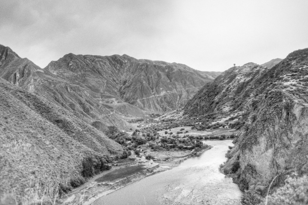
Soon we leave the main road and head towards the mountains, on a bumpy dirt road.
The driver has never taken this road and stops to ask his way to villagers. After 6 hours, by nightfall, we reach Accha where we stop to have diner. At 2am, the estimated 12 hours are over as we reach Livitaca. We’ve barely covered a fourth of the distance that separates Cusco from Juliaca.
At this point I replace Antoine as the copilot. By chance, Antoine has an offline map of Peru on his phone, because there aren’t any villagers left to ask. Henry is happy to have someone who understands a tiny bit of spanish, to chat and stay awake.
Around 4am, our driver is exhausted and we stop on the side of the road for a nap. I suggest I could drive, but he can’t take the risk and would rather sleep for a bit in the still car.
We start an hour later, and slowly the sun rises on the mountains. We reach Quehue, Checca, El Descanso, Espinar. We’re on a plateau so the road is a bit more smooth.
We’re nearing Llali when someone tells us the road ahead is blocked and we must return and make a detour via Macari. Macari is higher up and again it’s a lot of switch backs.
In spite of the detour, we’re stopped at noon by a road block at the entrance of Ayaviri, some 2 hours away from Juliaca. They say the protesters should leave and open the barricade around 6pm.
We leave the car and walk to Ayaviri to have lunch, then return to the car to catch some sleep. In the afternoon, Leo suggests we all play Uno to kill time.
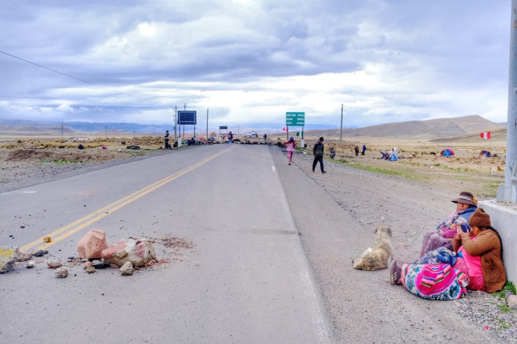
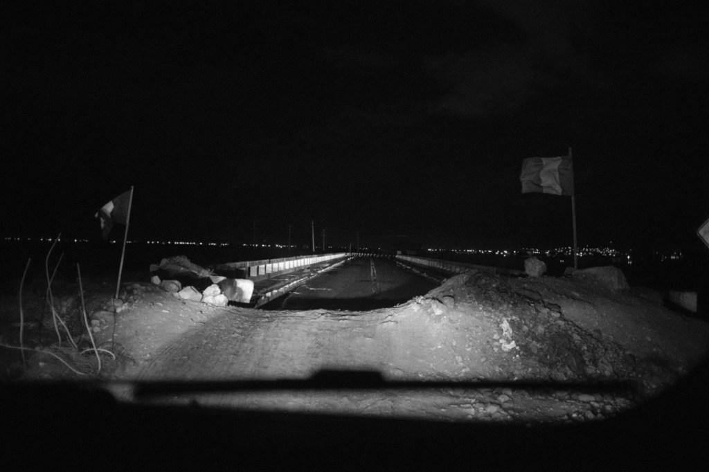
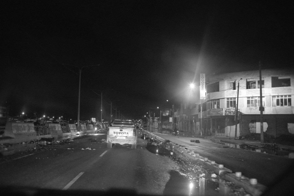
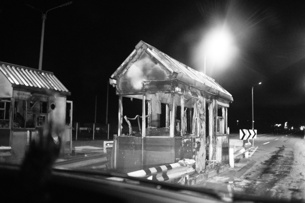
Around 7pm, the barricade opens and we can finally move forward. It is followed by many other deserted road blocks. We reach Juliaca in the night and it looks like a war zone, with rocks all over the road. It’s quite dangerous as we‘re blinded by the lights of the cars coming towards us and we see the rocks at the last minute.
We had paid for a trip to Juliaca only, but the driver accepted an extra charge to take us all the way to Puno. We all accepted as we had no other option and nowhere to go.
Around midnight, some 34 hours after leaving Cusco, we finally reached Puno, exhausted. Henry, the driver was told that the strike would be stronger the next day and everything would be blocked. He barely had the time to take another nap and return alone in the night towards Cusco before the protesters wake up!
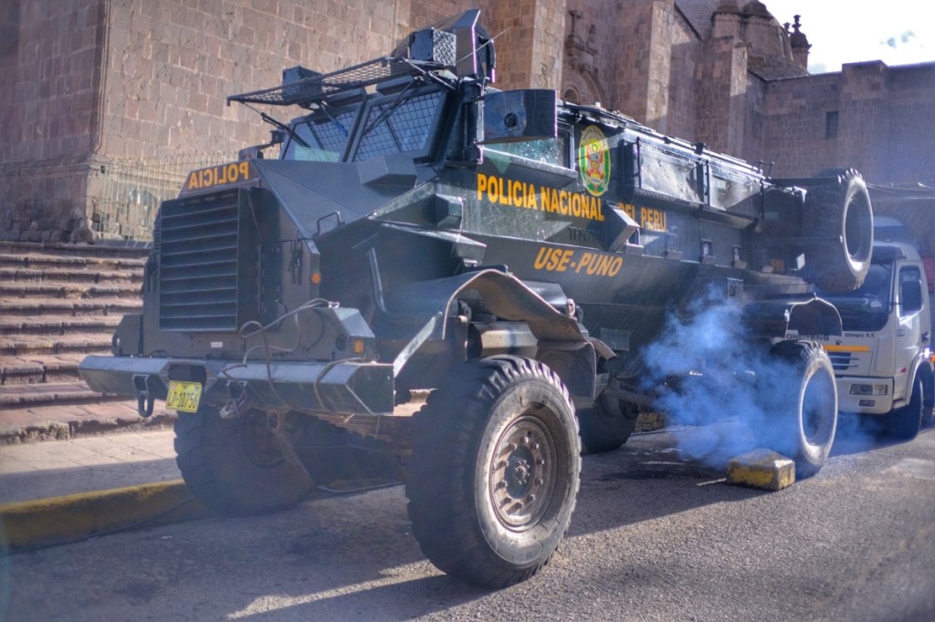
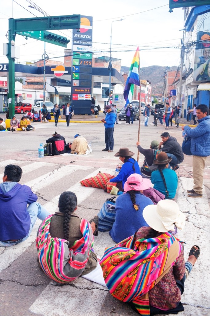
We stop in a hotel and finally get some real sleep. But Puno is not the end of the road for us either, we still need to find a way to the Bolivian border, and the protests in this region are much stronger than in Cusco. The roads to the border are blocked, and the port as well. The bus terminal is completely shut and no boat is leaving to Kasani.
A lady intercepts us near the harbour, and in a low secretive voice, tells us she can help us get to the border. She’ll meet us at our hotel to explain the details. We’re suspicious but we might as well hear what she has to say.
She comes as promised and explains that there are daily reunions with the police, the port director and migration officials to decide whether or not they can open the port. She’s negotiating with them and will let us know in the evening.
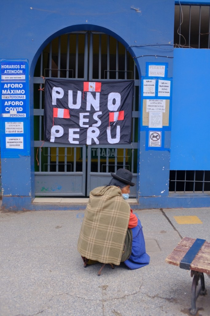
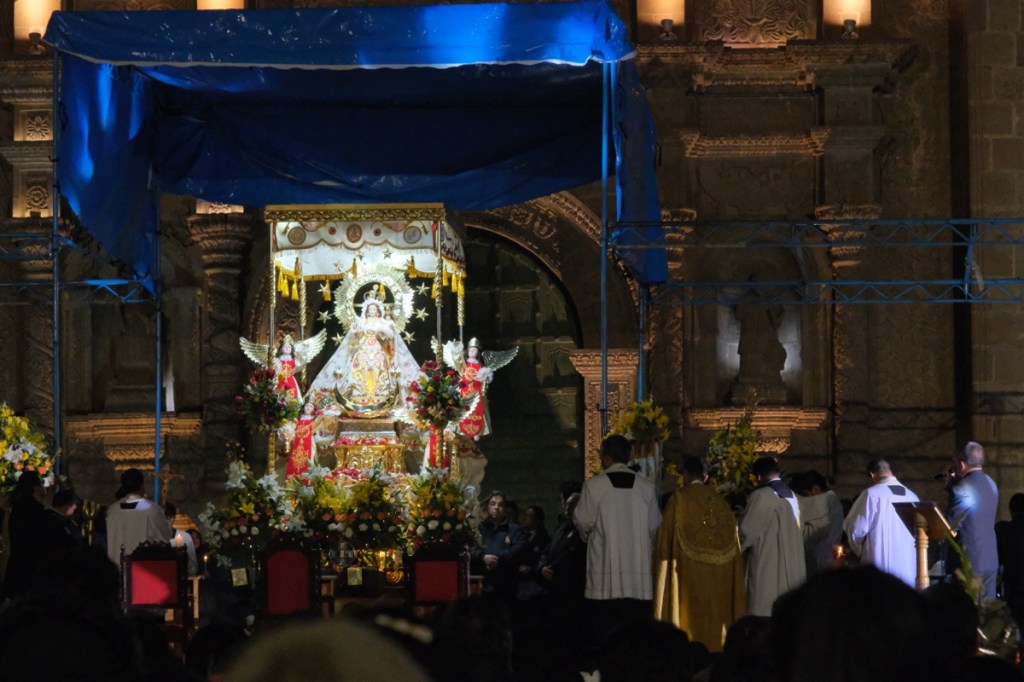
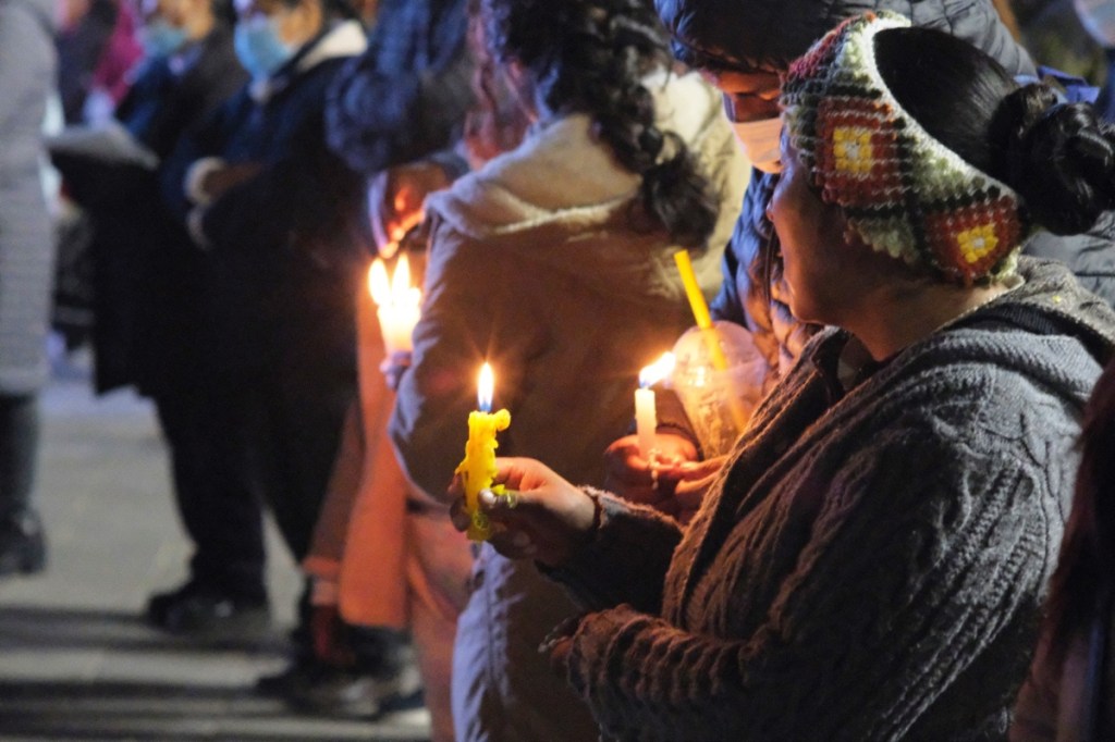
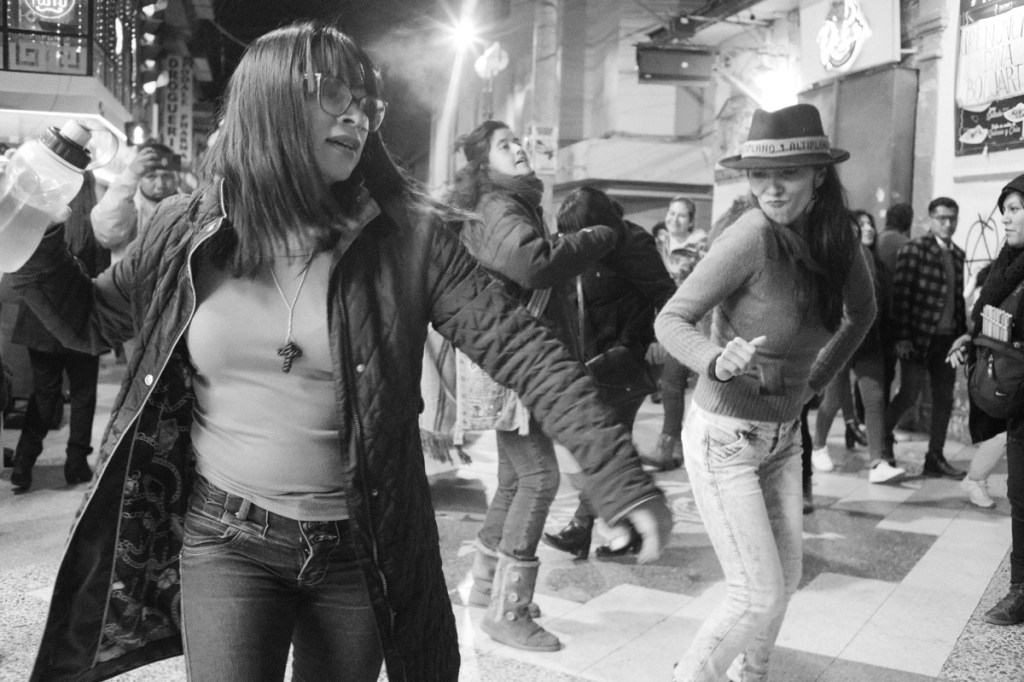
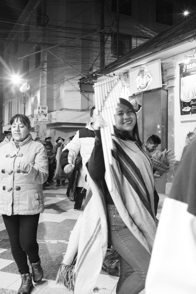
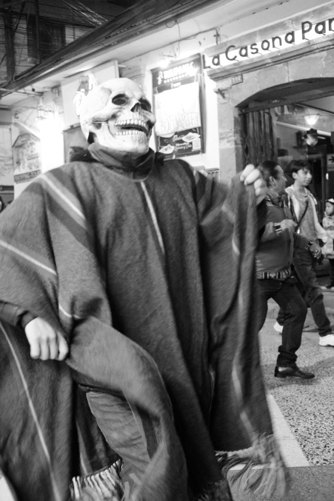
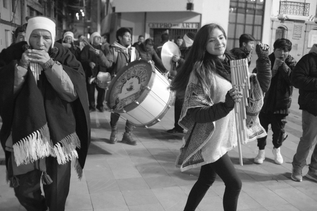
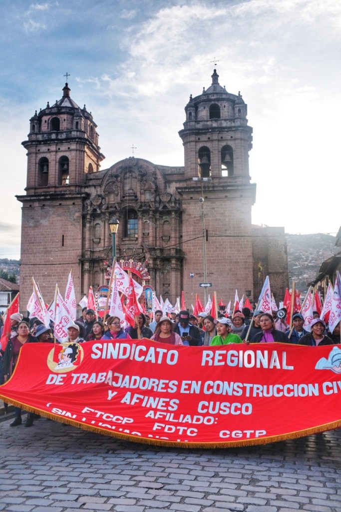
It’s February 1st, and the beginning of Puno’s grand festival of the Candelaria. Normally the festival is extremely colourful and gathers musicians from all over the country. This year, it’s very low key and rather sad because of the political context, but we still see some local marching bands playing drums and flutes in the streets.
In the evening, the news are not great. The negotiations did not turn in our favor, but nonetheless, we’re told to be ready by 5am, we’ll try an escape by another port.
At 5am they come to pick us up, we stop at the harbour to get our passport stamped. But the migration officer tells us he’ll stamp our passport at our own risk; there’s little chance we manage to actually leave today, in which case we’ll be illegal in Peru and maybe won’t be able to enter the next country. We step back. Our guide is again negotiating in the next house. Eventually our escape is aborted and we must return to the hotel.
We’re dissuaded to leave by road in the night, the bridge of Llave that leads to Kasani is shut by the protesters and they’re particularly aggressive. It’s not safe.
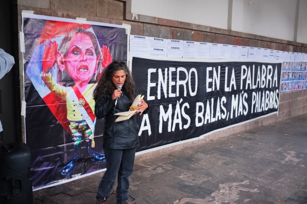
The girl at the hotel explains to us that, back in the 90’s, when Peru’s economy was very low, the government allowed foreign companies to come exploit the country’s resources at a low fee, with a 30 years renewable lease. The south of Peru is rich with minerals such as copper and lithium. For the past 30 years the region has been depleted of its resources without any benefit for the locals. They demand a change in the constitution so these leases cannot be renewed and foreign companies to pay for what they take. From here we can easily imagine the foreign economic and political pressure, and the corruption behind all this.
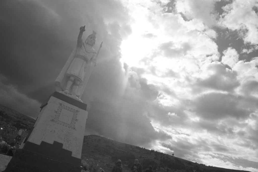
In the afternoon we walk up to the Inca statue and higher up to the great condor overlooking the city, from where we have a great view on the lake.
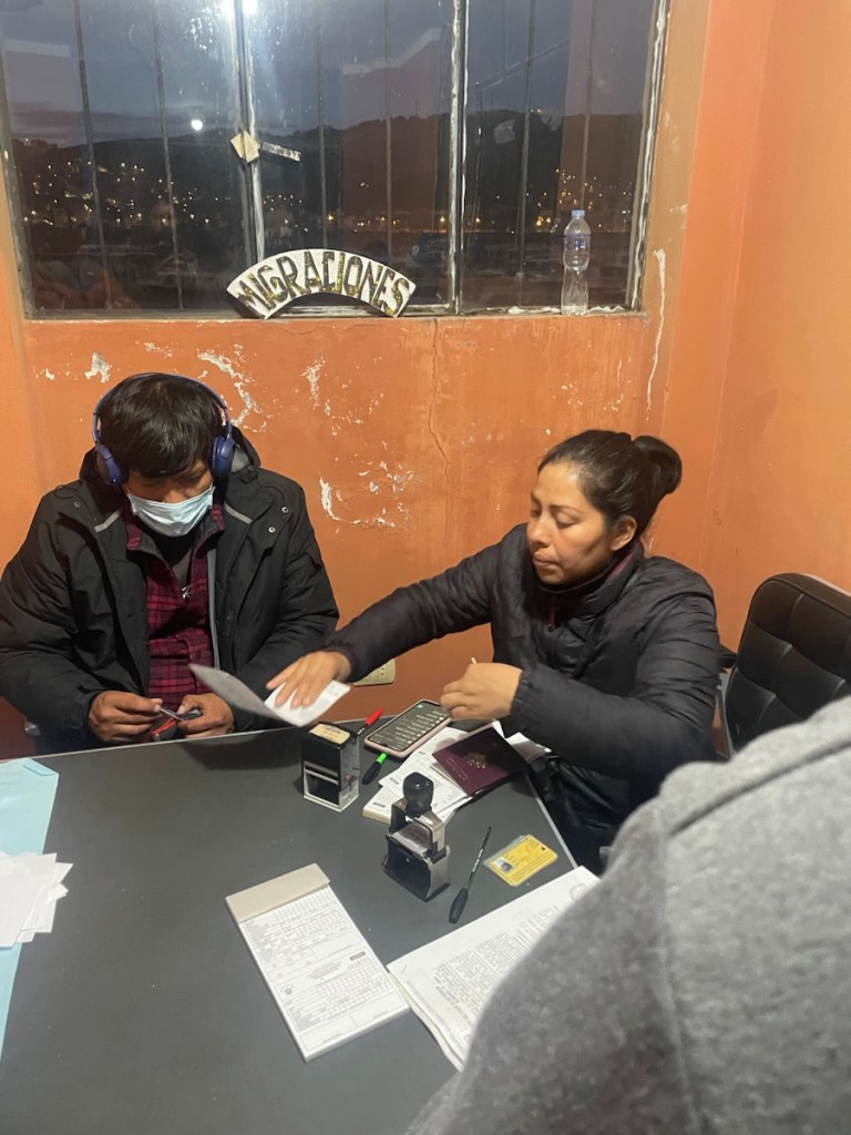
When we return to the hotel, we’re told to quickly go to the migration office, the port should open tomorrow. « But be very discreet about it, don’t tell anyone you’re going to leave! ». This time there are a few more people getting their stamp and the migration officer accepts to stamp our passport; it’s a good sign, we’ll probably be able to leave. This time we must be ready by 4am.
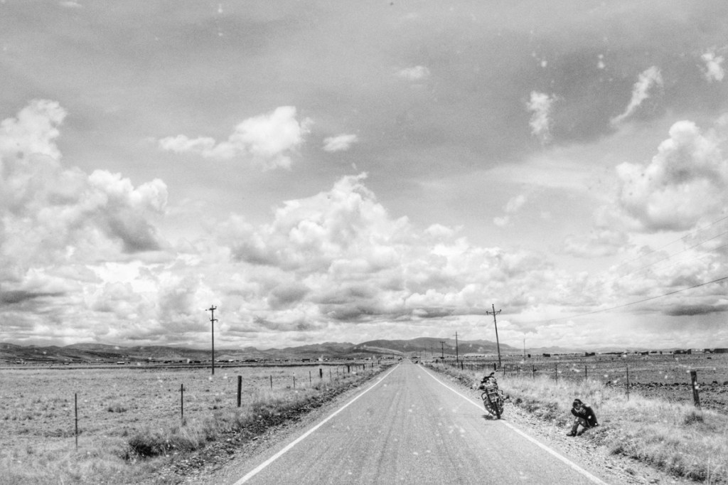
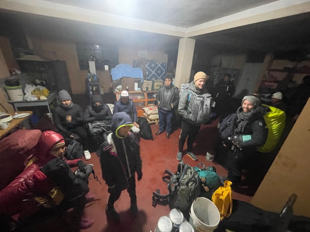
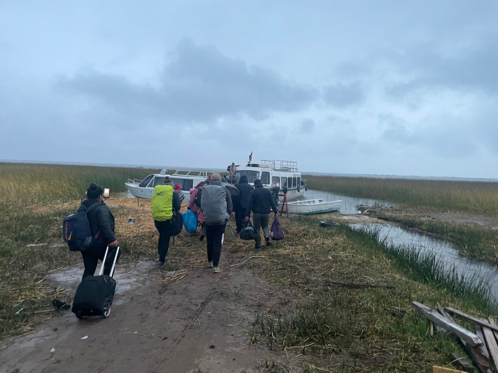
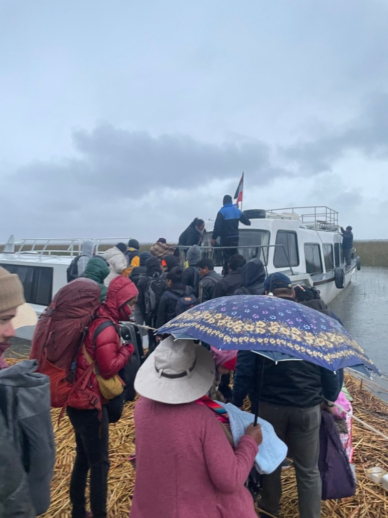
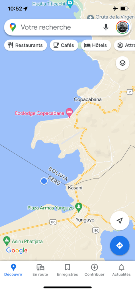
At 4am sharp they come to pick us up. There are more people in the shuttle this time, and we drive a bit further to a smaller port 20 minutes away from Puno. There we’re parked in a building while we wait for our boat. A couple more shuttles bring some more passengers. About 40 in all. The French couple and us are the only tourists. After a half hour our boat is here and we can board, under the rain and the rising sun. It’s not really a harbour, there’s no deck and we must climb into the boat with our heavy backpacks. But we’re really leaving this time!
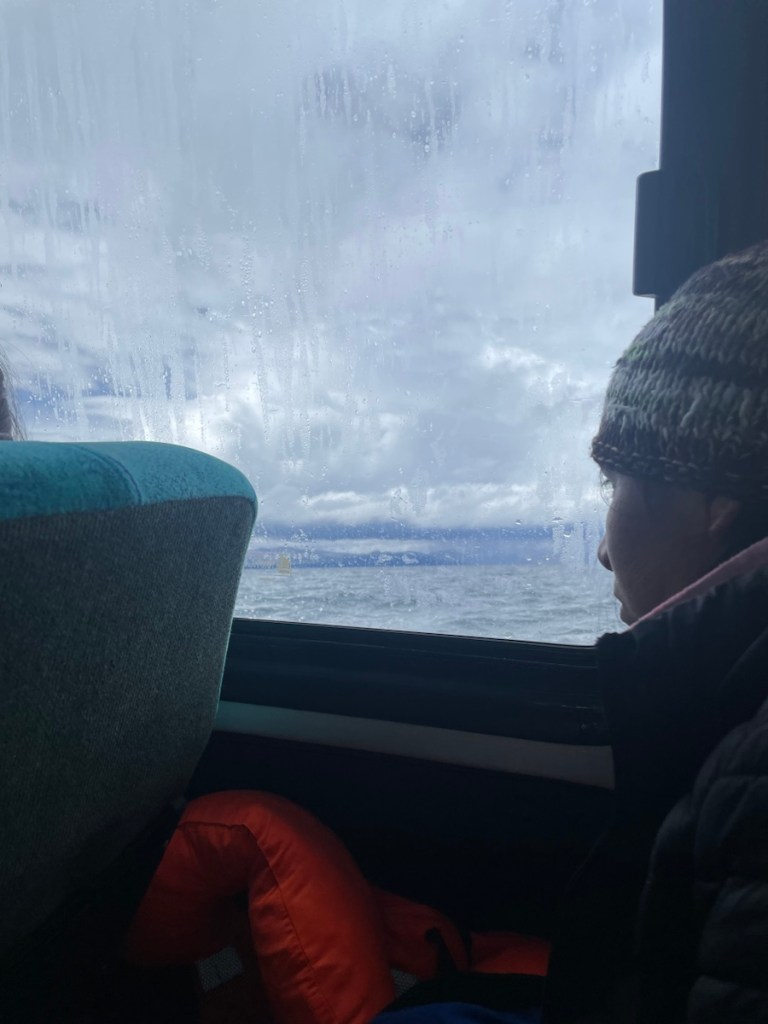
I’m writing these lines in the middle of the lake Titicaca, while the boat takes us to Kasani. 4 more hours before we can cross the border.
… we reached the “port” of Kasani and climbed down the boat, and we found a cab to take us to the Bolivian immigration office and straight to Copacabana (no, not in Brazil!). I was a bit anxious that the immigration officers would bother us with covid test requirements or some such thing but they didn’t ask any question and let us in.
Finally, after a week of trying, we made a successful escape to Bolivia and drank a Pisco Sour to celebrate! 🎉
The most acute readers will undoubtedly notice the subtle double pun about a famous drink made with pisco, and Cusco’s troublesome times on the other hand. Don’t thank me, the pleasure is all mine.
At first we were in Cusco for a couple of days to get acclimated to the height before the Inca trail. Then we wanted to stay a few days more to explore more sites around the city – which we never did! Finally we were in Cusco because the strikes had started strong again and we couldn’t leave anymore! (See next post about escaping Peru!)
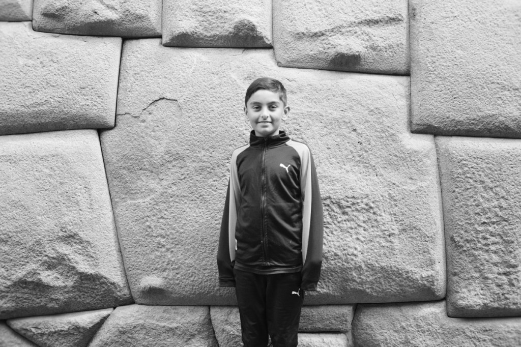
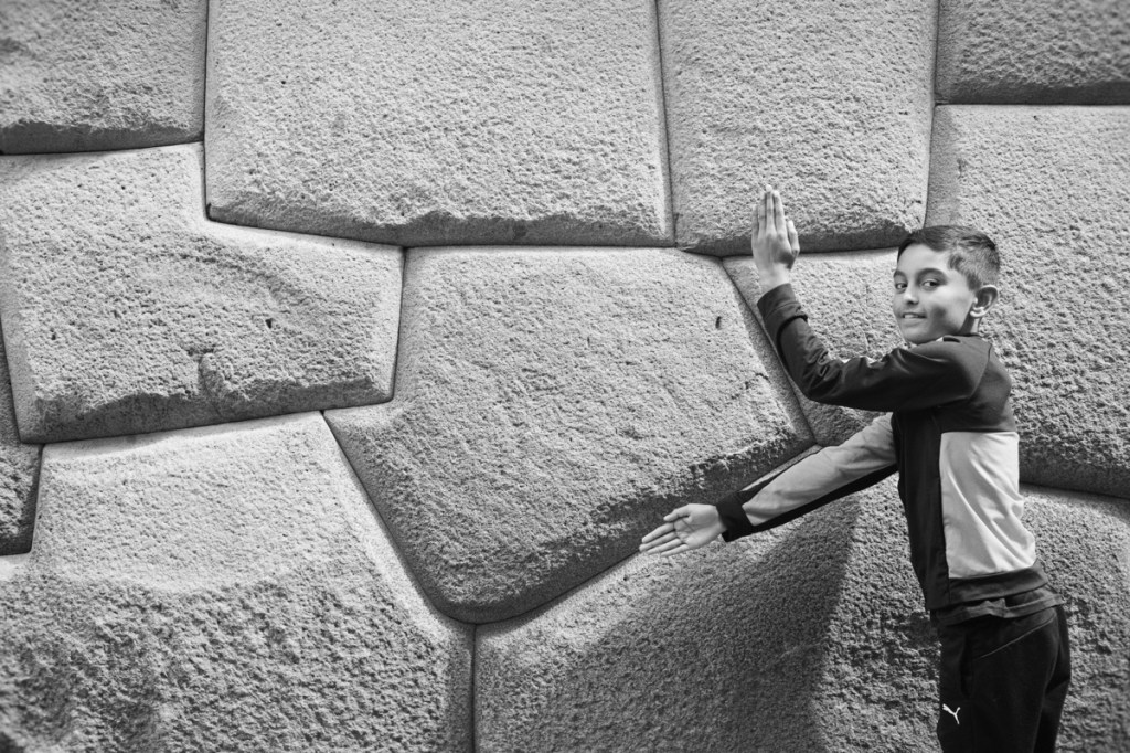
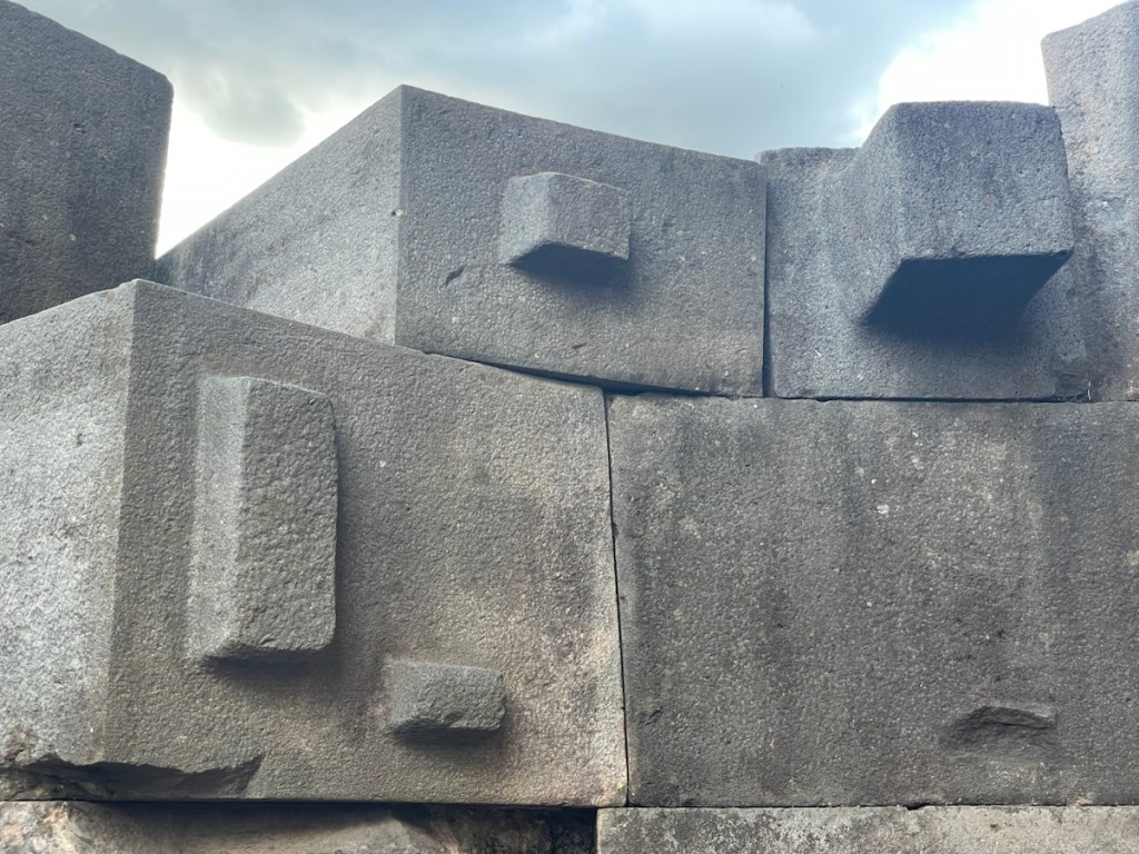
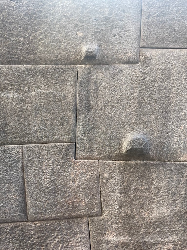
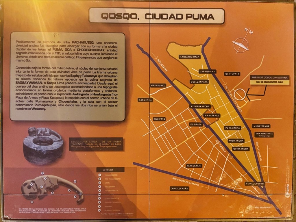
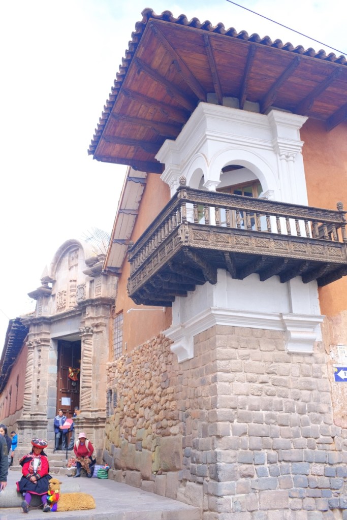
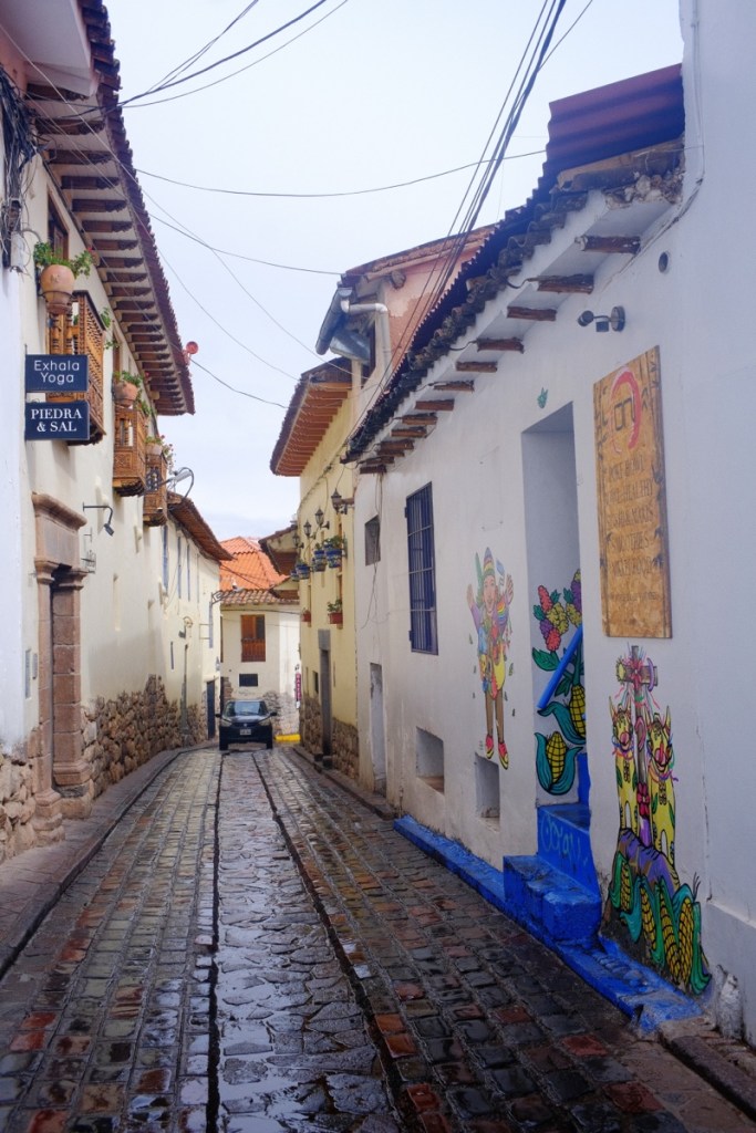
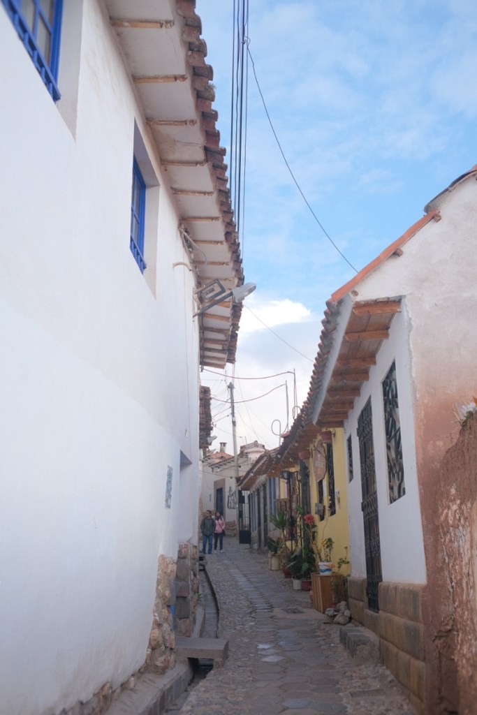
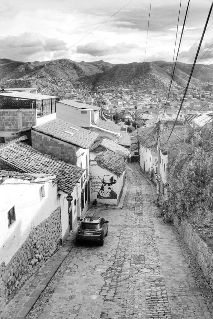
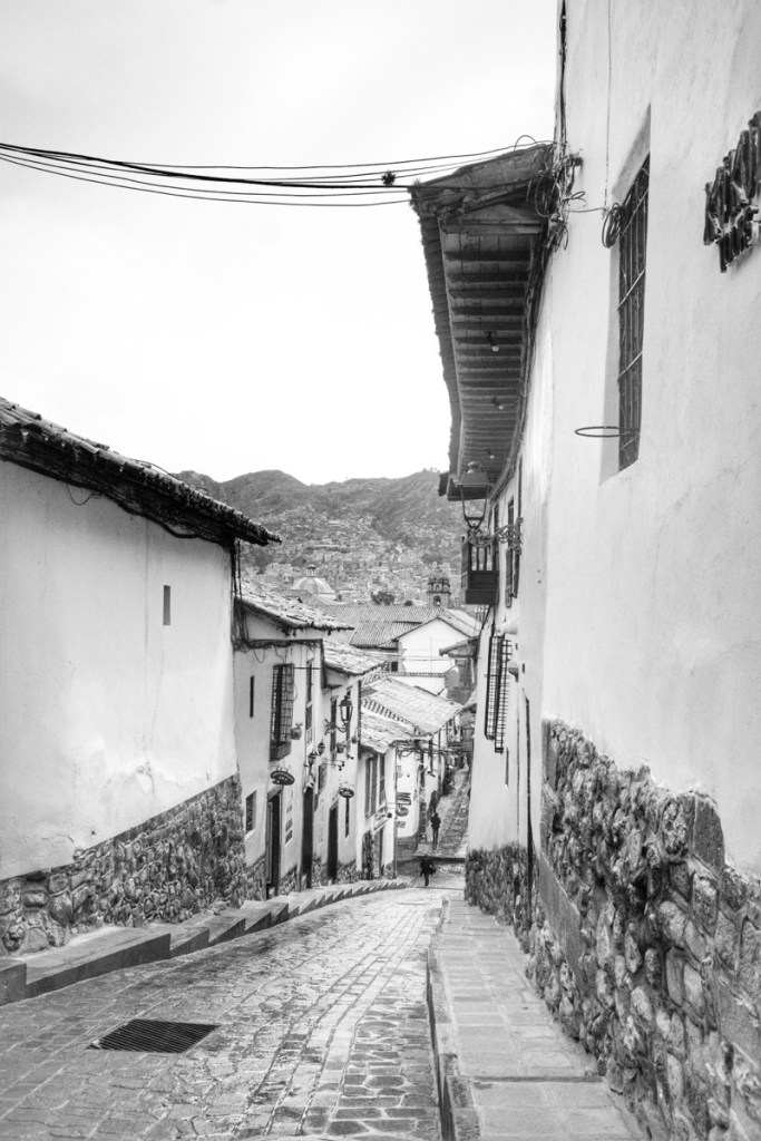
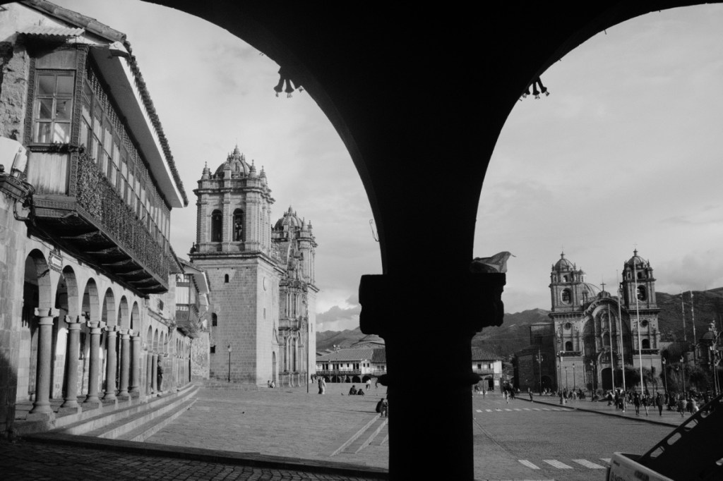
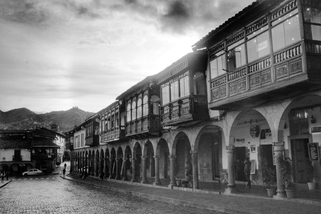
Cusco is a fabulous blend of Inca and post colonial architecture. To start with, the plan of the original Inca city has the shape of a puma! Walking in the historical center, you can admire the fascinating Inca architecture, like a puzzle of giant stone blocks perfectly adjusted (such as the famous twelve corners stone).
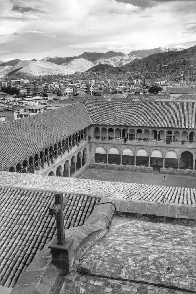
We visited the Qoricancha, or temple of the sun, which has been converted into the Santo Domingo church by the spaniards, but still retains its original Inca structure. The Coricancha is the epicentre of the ceques system; a giant network of Inca cities and temples, all aligned and radiating from Qoricancha, and all communicating with each other (one visible from the next so they could communicate with light signals)